โรงพยาบาลส่งเสริมสุขภาพตำบลบ้านขอนตาล · Ban Khontan Sub-district health promoting hospital
ที่แบบนี้มักมีห้องน้ำให้ใช้ · Places like this normally have a toilet · ที่อื่นใกล้ ๆ · others nearby
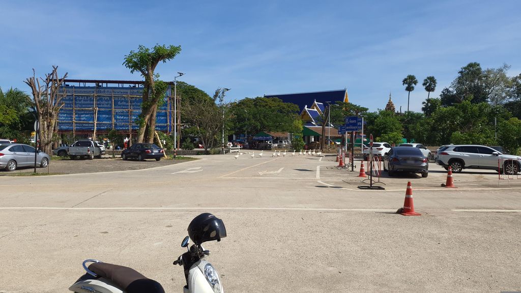
ถ่ายเมื่อ พ.ศ. 2565 (2022) · Taken in 2565 (2022) · jrcarlsen · CC BY-SA 4.0 · Mapillary
โรงพยาบาลส่งเสริมสุขภาพตำบล · Sub-district health station ต.ริมใต้ · Rimtai (subdistrict) โรงพยาบาล · Hospital โรงพยาบาล · Hospitals โรงพยาบาล · Hospital อ.แม่ริม · Mae Rim (district)
- โรงพยาบาลนครพิงค์ · Nakhon Ping Hospital · 30 ม. · 30 m
- สำนักงานเขตสุขภาพที่ 1 · Samnakngan Khet Sukkhaphap Thi 1 · 140 ม. · 140 m
- ท้าวเวสสุวรรณวัดลัฎฐิวัน · Thao Wetsuoraron Watlatthiona · 180 ม. · 180 m
- วัดลัฏฐิวัน · Wat Latthi Wan · 230 ม. · 230 m
- Pappy's Cafe and Eats · 250 ม. · 250 m
- ที่อยู่ · Address
- ถนน บ้านขอนตาล Thanon Ban Khontan
- ตำบล · อำเภอ · District
- ต.ริมใต้ Tambon Rimtai · อ.แม่ริม Amphoe Mae Rim
- แผนที่ · Map
- มดแดง · Mot Dang · OpenStreetMap · Google · Apple · Geo
- รหัสที่ · Place ID
MD-J1DEV- ทิศทาง · Bearings
- ห่างประตูท่าแพ 14.1 กม. ทางเหนือ · 14.1 km north of Tha Phae Gate
ย่านแม่ริม · Mae Rim
ชื่อ-ที่อยู่ Overture Maps · CDLA-Permissive-2.0 · Name & address Overture Maps · CDLA-Permissive-2.0 · 2026-10-20