พุทธอุทยานเฉลิมพระเกียรติวัดป่าธรรมประทีป · Phuttha Utthayan Chelimphrakianti Wat Pa Tham Prathip
ที่แบบนี้มักมีห้องน้ำให้ใช้ · Places like this normally have a toilet · ที่อื่นใกล้ ๆ · others nearby
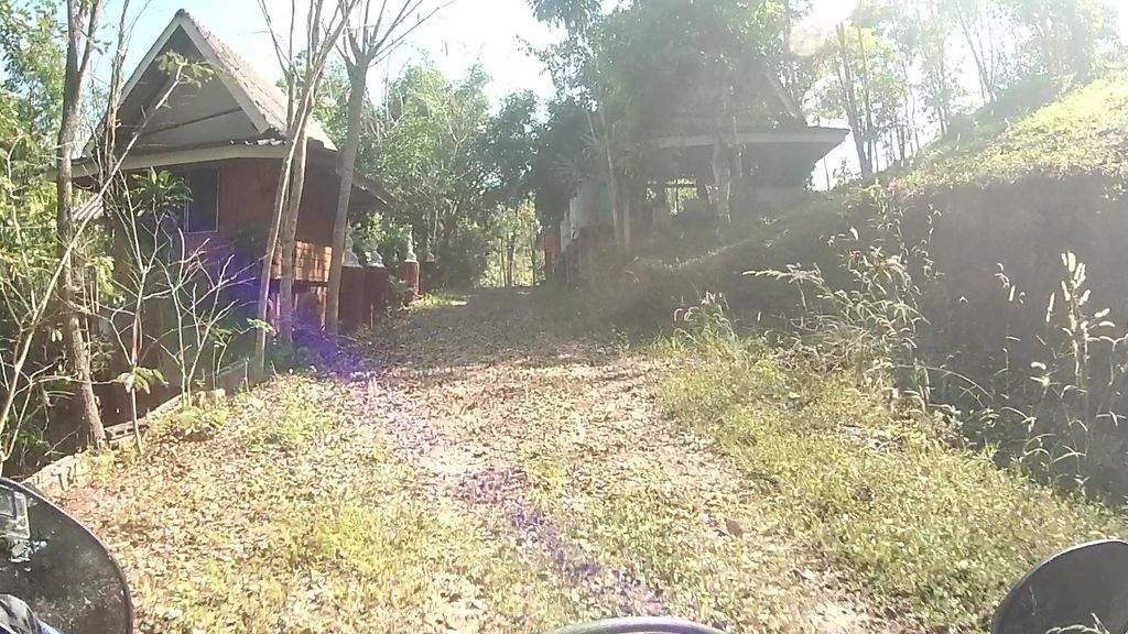
ถ่ายเมื่อ พ.ศ. 2565 (2022) · Taken in 2565 (2022) · julcnx · CC BY-SA 4.0 · Mapillary
- ตำบล · อำเภอ · District
- ต.ป่าเมี่ยง Tambon Pa Miang · อ.ดอยสะเก็ด Amphoe Doi Saket
- แผนที่ · Map
- มดแดง · Mot Dang · OpenStreetMap · Google · Apple · Geo
- รหัสที่ · Place ID
MD-WCZ7S- ทิศทาง · Bearings
- ห่างประตูท่าแพ 31 กม. ทางตะวันออกเฉียงเหนือ · 31 km north-east of Tha Phae Gate
ย่านแม่แตง-เชียงดาว · Mae Taeng & Chiang Dao
ชื่อ-ที่อยู่ Overture Maps · CDLA-Permissive-2.0 · Name & address Overture Maps · CDLA-Permissive-2.0 · 2026-10-26