4
ห้องน้ำใกล้สุด · Nearest toilet: วัดเมืองกึ๊ด · 810 ม. ตามถนน · 810 m by road · เดิน ~10 นาที · ~10 min walk · ที่อื่นจากตรงนี้ · more from here
ทัวร์และตั๋วเที่ยวเชียงใหม่ · Klook · Chiang Mai tours & tickets · Klook ลิงก์มีค่าตอบแทน: มดแดงได้ค่าแนะนำเมื่อคุณจองผ่านลิงก์นี้ · Paid link: Mot Dang earns a fee if you book.
รอบ ๆ ที่นี่ · Around here
 สะพานข้ามแม่น้ำแม่แตง เมืองก๋าย เชียงใหม่ 2650 ม. · 650 m
 Feeding elephants at the Elephant Nature Park, Chiang…800 ม. · 800 m
 A mahout feeding an elephant at the Elephant Nature Park…800 ม. · 800 m
ภาพ:Photos: Maxim Cruiser (CC BY 3.0) · Adbar (CC BY-SA 3.0) · ผ่าน Wikimedia Commons · via Wikimedia Commons
ธรรมชาติแถวนี้ · Nature nearby
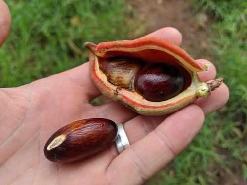 เกาลัด · Seven Sisters' Fruit100 ม. · 100 m
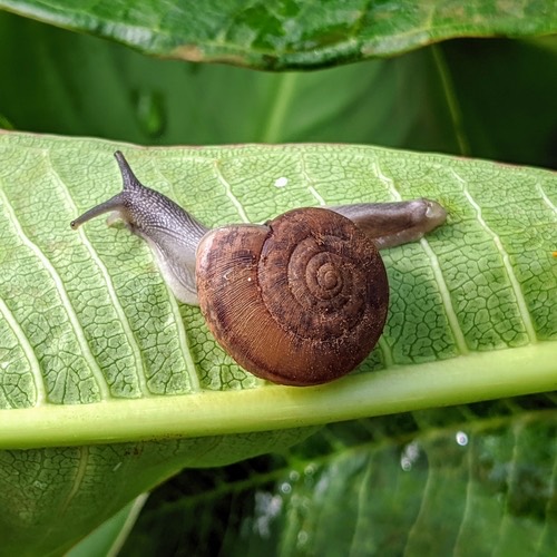 หอยทากสยาม · Siamese Common Snail200 ม. · 200 m
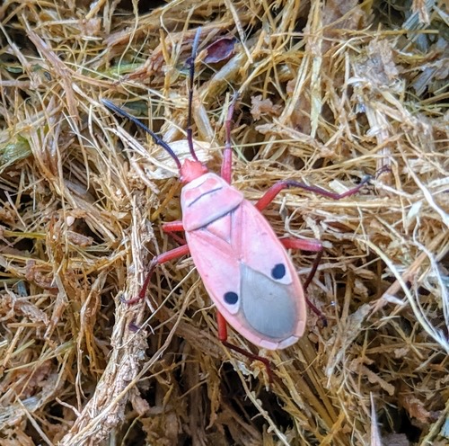 มวนแดงนุ่น · Kapok Bug250 ม. · 250 m
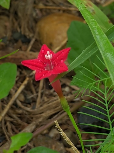 คอนสวรรค์ · Cypress Vine400 ม. · 400 m
ภาพ:Photos: Attila Oláh (CC BY) · ผ่าน iNaturalist · via iNaturalist
จุดชมวิว · Viewpoints ต.กื้ดช้าง · Kuetchang (subdistrict) อ.แม่แตง · Mae Taeng (district) 🏞 ริมน้ำ · Riverside
- 6 · 80 ม. · 80 m
- 5 · 90 ม. · 90 m
- Kaeng Kied Elephant Camp · 120 ม. · 120 m
- 1 · 150 ม. · 150 m
- The River Flows Kued Chang Camp · 150 ม. · 150 m
- ตำบล · อำเภอ · District
- ต.กื้ดช้าง Tambon Kuetchang · อ.แม่แตง Amphoe Mae Taeng
- ความสูงจากระดับน้ำทะเล · Elevation
- 453 เมตร · อ่านจากแบบจำลองภูมิประเทศ 2026-08-27 · 453 metres · read from the terrain model, 2026-08-27
- แผนที่ · Map
- มดแดง · Mot Dang · OpenStreetMap · Google · Apple · Geo
- รหัสที่ · Place ID
MD-W4TZW- ทิศทาง · Bearings
- ห่างประตูท่าแพ 50 กม. ทางเหนือ · 50 km north of Tha Phae Gate
ย่านแม่แตง-เชียงดาว · Mae Taeng & Chiang Dao
OpenStreetMap · 2026-07-27