วัดปันเส่า · Wat Pan Sao
เจ้าของที่นี่? ทำเว็บให้ฟรี · Is this your place? Make its page, free →
≈
ตำแหน่งโดยประมาณ — วงกลมคือช่วงที่เป็นไปได้ · Approximate position — the circle is the range it could be inที่แบบนี้มักมีห้องน้ำให้ใช้ · Places like this normally have a toilet · ที่อื่นใกล้ ๆ · others nearby
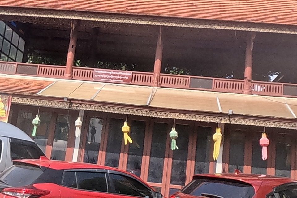
รอบ ๆ ที่นี่ · Around here
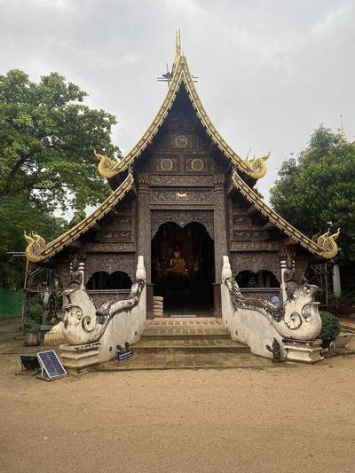 วัดปันเสา(พันเสา) · Wat Pan Sao50 ม. · 50 m
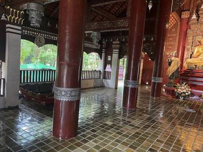 วัดปันเสา(พันเสา) · Wat Pan Sao50 ม. · 50 m
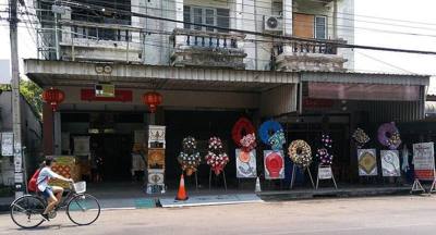 @suan dok gate chiangmai200 ม. · 200 m
 Duizenden kaarsjes worden op de vooravond van het Yi Peng…350 ม. · 350 m
ภาพ:Photos: Immanuelle (CC BY 4.0) · Hartmann Linge (CC BY-SA 4.0) · FredTC (CC BY-SA 4.0) · ผ่าน Wikimedia Commons · via Wikimedia Commons


ธรรมชาติแถวนี้ · Nature nearby
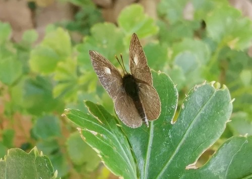 ผีเสื้อดักแด้หัวลิง · Apefly50 ม. · 50 m
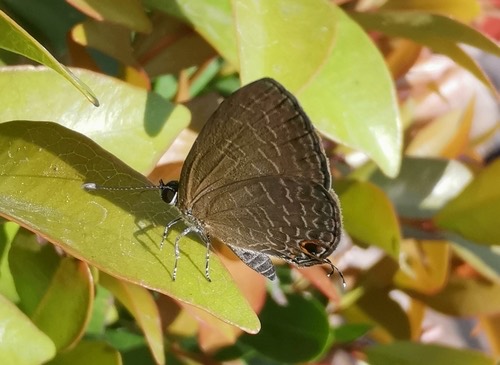 ผีเสื้อฟ้าวาวสีคล้ำ · Dark Cerulean50 ม. · 50 m
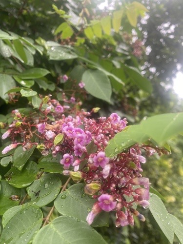 มะเฟือง · Starfruit250 ม. · 250 m
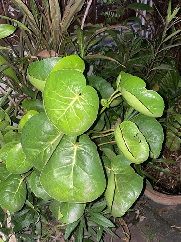 เล็บครุฑ · shield aralia300 ม. · 300 m
ภาพ:Photos: Cheryl Stinchcomb (CC BY) · Tess McGrigor (CC0) · ผ่าน iNaturalist · via iNaturalist
มหานิกาย · Maha Nikaya วัดราษฎร์ · Wat Rat วัด · Buddhist temple ต.สุเทพ · Suthep (subdistrict) อ.เมืองเชียงใหม่ · Mueang Chiang Mai (district)
- วัดปันเสา(พันเสา) · Wat Pan Sao · 20 ม. · 20 m
- Boon Raksa · 60 ม. · 60 m
- ที่จอดรถ · ใกล้ประตูสวนดอก 390 ม. · Parking · 390 m from Suan Dok Gate · 60 ม. · 60 m
- Skin Centre · 70 ม. · 70 m
- Check up Centre / Anti-aging Centre · 70 ม. · 70 m
- ตำบล · อำเภอ · District
- ต.สุเทพ Tambon Suthep · อ.เมืองเชียงใหม่ Amphoe Mueang Chiang Mai
- ก่อตั้ง · Founded
- พ.ศ. 2561 · 2018 CE
- นิกาย · Nikaya
- มหานิกาย — Maha Nikaya, the larger monastic order
- ประเภทวัด · Standing
- วัดราษฎร์ — a people's temple, not a royal one
- วิสุงคามสีมา · Wisung-khamsima
- ไม่ได้รับ — not granted
- รหัสวัด · Temple register code
- 03500108014 ทะเบียนวัด สำนักงานพระพุทธศาสนาแห่งชาติ ฉบับ พ.ศ. ๒๕๖๗ · from the National Office of Buddhism temple register, B.E. 2567 edition
- กล้องเห็นล่าสุด · Camera last saw it
- 24 ก.ย. 2569 09:46 น. · 24 Sep 2026, 09:46
- แผนที่ · Map
- มดแดง · Mot Dang · OpenStreetMap · Google · Apple · Geo
- รหัสที่ · Place ID
MD-YCEZQ- ทิศทาง · Bearings
- นอกเวียง ทางตะวันตกเฉียงเหนือ ห่างคูเมือง 220 ม. · ใกล้ประตูสวนดอก 380 ม. · Outside the moat to the north-west, 220 m from the water · 380 m from Suan Dok Gate
ห่างกลางโรงพยาบาลมหาราชนครเชียงใหม่ (สวนดอก) 330 ม. ไปทางตะวันออก · 330 m due east of the middle of Maharaj Hospital (Suan Dok)
อ่านต่อที่อื่น · Read more elsewhere
OpenStreetMap · 2026-07-21