ดอยอินทนนท์ · Doi Inthanon
ห้องน้ำใกล้สุด · Nearest toilet: 🏛 พิพิธภัณฑ์วัดเกตการาม · Wat Ket karam museum · 320 ม. ตามถนน · 320 m by road · เดิน ~4 นาที · ~4 min walk · ที่อื่นจากตรงนี้ · more from here
เว็บเดิมของที่นี่ · Their earlier website
หน้านี้เปิดไม่ได้แล้ว — เก็บลิงก์ไว้ให้ในคลังแทนเจ้า · This page no longer answers; the archived copy is here instead.- ewuyi.iwp — โดเมนไม่มีแล้ว (ตรวจเมื่อ 2026-10-11) · the domain is gone (checked 2026-10-11)
รอบ ๆ ที่นี่ · Around here
 วัดเกตการาม · Wat Ket Karam150 ม. · 150 m
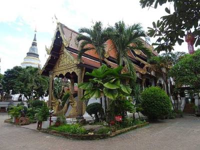 วัดเกตการาม · Wat Ket Karam150 ม. · 150 m
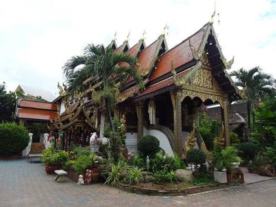 วัดเกตการาม · Wat Ket Karam200 ม. · 200 m
 Gurdwara Sri Guru Singh Sabha Chiang Mai200 ม. · 200 m
ภาพ:Photos: FredTC (CC BY-SA 4.0) · Christophe95 (CC BY-SA 4.0) · Chainwit. (CC BY-SA 4.0) · ผ่าน Wikimedia Commons · via Wikimedia Commons


ธรรมชาติแถวนี้ · Nature nearby
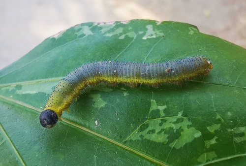 ผีเสื้อเณรสามจุด · Three-spotted Grass Yellow50 ม. · 50 m
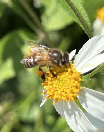 ผึ้งโพรง · Asian Honey Bee50 ม. · 50 m
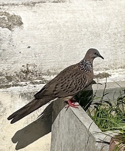 นกเขาใหญ่ · Spotted Dove200 ม. · 200 m
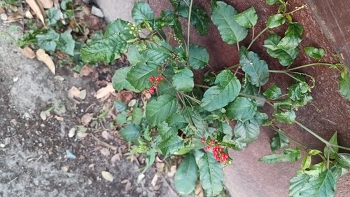 พริกฝรั่ง · pigeonberry200 ม. · 200 m
ภาพ:Photos: Cheryl Stinchcomb (CC BY) · Mark (CC BY) · Michael A. Thaibinh (CC BY) · ผ่าน iNaturalist · via iNaturalist
บริษัททัวร์-บริการท่องเที่ยว · Travel agent ทัวร์-นำเที่ยว · Tours อ.จอมทอง · Chom Thong (district) ต.วัดเกต · Wat Ket (subdistrict)
- Arcobaleno Italian Restaurant · 20 ม. · 20 m
- Later On Cafe · 30 ม. · 30 m
- ที่จอดรถ · นอกเวียง ทางตะวันออก ห่างคูเมือง 1.0 กม. · Parking · Outside the moat to the east, 1.0 km from the water · 40 ม. · 40 m
- Glam and Co Studio · 40 ม. · 40 m
- All Saints, Chiang Mai · 50 ม. · 50 m
- ที่อยู่ · Address
- อำเภอจอมทอง อำเภอแม่แจ่ม อำเภอแม่วาง และ อำเภอดอยหล่อ Amphoe Chom Thong · Amphoe Mae Chaem · Amphoe Mae Wang Lae · Amphoe Doi Lo
- ตำบล · อำเภอ · District
- ต.วัดเกต Tambon Wat Ket · อ.จอมทอง Amphoe Chom Thong
- เครือ · Part of
- ดอยอินทนนท์
- แผนที่ · Map
- มดแดง · Mot Dang · OpenStreetMap · Google · Apple · Geo
- รหัสที่ · Place ID
MD-QNDMH- ทิศทาง · Bearings
- นอกเวียง ทางตะวันออก ห่างคูเมือง 1.1 กม. · Outside the moat to the east, 1.1 km from the water
ห่างวัดเกตการาม 190 ม. ไปทางตะวันออกเฉียงเหนือ · 190 m north-east of Wat Ket Karam
ย่านริมปิง-วัดเกต-เจริญราษฎร์ · Riverside & Wat Ket
ชื่อ-ที่อยู่ Overture Maps · CDLA-Permissive-2.0 · Name & address Overture Maps · CDLA-Permissive-2.0 · 2026-10-20