วัดขัวมุง · Wat Khua Mung
ห้องน้ำใกล้สุด · Nearest toilet: วัชรีเกษตรภัณฑ์ · 600 ม. ตามถนน · 600 m by road · เดิน ~8 นาที · ~8 min walk · ที่อื่นจากตรงนี้ · more from here
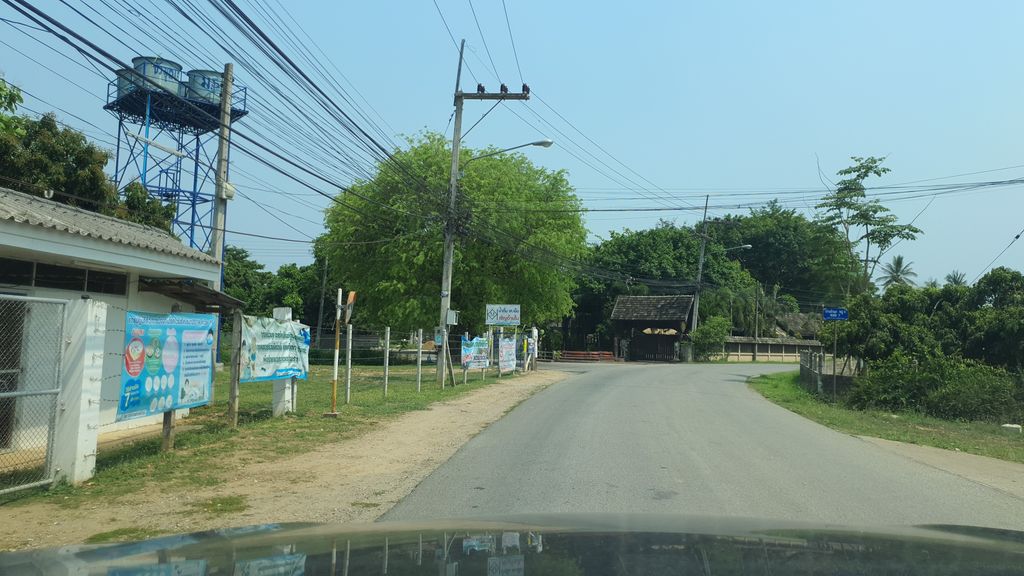
ถ่ายเมื่อ พ.ศ. 2564 (2021) — ตอนนี้หน้าร้านอาจเปลี่ยนไปแล้ว · Taken in 2564 (2021) — the street may have changed since · jrcarlsen · CC BY-SA 4.0 · Mapillary
ต.ขัวมุง · Khua Mung (subdistrict) ทางหลวงชนบท · Thangluangchanabot องค์กรทางศาสนา · Religious organisation ศาลาประชาคม-ศูนย์ชุมชน · Community Centres วัด · Buddhist temple อ.สารภี · Saraphi (district)
- เวียงขัวมุง Wiang Khua Mung · 90 ม. · 90 m
- โรงเรียนขัวมุง · Khuamung school · 90 ม. · 90 m
- น้ำดื่ม เคเอ็ม · Nam Duem Kheem · 90 ม. · 90 m
- Blessing's Church · 120 ม. · 120 m
- สำนักงานกฎหมาย สุทธิราช ทนายความ · Samnakngan Kotmai Sutthirat Thanaikhwam · 220 ม. · 220 m
- ที่อยู่ · Address
- หมู่ 5, ถนนทางหลวงชนบท Thanon Thangluangchanabot
- ตำบล · อำเภอ · District
- ต.ขัวมุง Tambon Khua Mung · อ.สารภี Amphoe Saraphi
- แผนที่ · Map
- มดแดง · Mot Dang · OpenStreetMap · Google · Apple · Geo
- รหัสที่ · Place ID
MD-AJ8J2- ทิศทาง · Bearings
- ห่างประตูท่าแพ 13.0 กม. ทางใต้ · 13.0 km due south of Tha Phae Gate
ย่านสารภี · Saraphi
ชื่อ-ที่อยู่ Overture Maps · CDLA-Permissive-2.0 · Name & address Overture Maps · CDLA-Permissive-2.0 · 2026-10-20