โรงเรียนบ้านแม่เอาะ Ban Maeao School
ห้องน้ำใกล้สุด · Nearest toilet: วัดแม่นาจร · 130 ม. ตามถนน · 130 m by road · เดิน ~2 นาที · ~2 min walk · ที่อื่นจากตรงนี้ · more from here
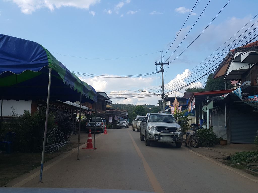
ถ่ายเมื่อ พ.ศ. 2558 (2015) — ตอนนี้หน้าร้านอาจเปลี่ยนไปแล้ว · Taken in 2558 (2015) — the street may have changed since · jrcarlsen · CC BY-SA 4.0 · Mapillary
ต.แม่นาจร · Mae Na Chon (subdistrict) อ.แม่แจ่ม · Mae Chaem (district) โรงเรียนรัฐบาล · Government schools 🏫 โรงเรียน · School
- วิวฟาร์มาซี View Pharmacy · 0 ม. · 0 m
- วัดแม่นาจร · Wat Mae Na Chon · 100 ม. · 100 m
- Ban Maenachorn School · 270 ม. · 270 m
- ต.แม่นาจร อ.แม่แจ่ม เชียงใหม่ · Ta.mae Na Chon A.Mae Chaem Chiang Mai · 400 ม. · 400 m
- โรงพยาบาลส่งเสริมสุขภาพตำบลบ้านแม่นาจร ตำบลแม่นาจร · Ban Mae Na Chon Tambon Mae Na Chon Sub-district health promoting hospital · 400 ม. · 400 m
- ที่อยู่ · Address
- ต.แม่นาจร Tambon Mae Na Chon
- ตำบล · อำเภอ · District
- ต.แม่นาจร Tambon Mae Na Chon · อ.แม่แจ่ม Amphoe Mae Chaem
- แผนที่ · Map
- มดแดง · Mot Dang · OpenStreetMap · Google · Apple · Geo
- รหัสที่ · Place ID
MD-76MD2- ทิศทาง · Bearings
- ห่างประตูท่าแพ 66 กม. ทางตะวันตก · 66 km west of Tha Phae Gate
ย่านจอมทอง-ฮอด-ดอยหล่อ · Chom Thong, Hot & Doi Lo
ชื่อ-ที่อยู่ Overture Maps · CDLA-Permissive-2.0 · Name & address Overture Maps · CDLA-Permissive-2.0 · 2026-10-20