ลานจอดรถ · นอกเวียง ทางตะวันออก ห่างคูเมือง 1.4 กม. · Car park · Outside the moat to the east, 1.4 km from the water
เจ้าของร้านนี้? ทำเว็บให้ร้านฟรี · Is this your shop? Make its page, free →
ห้องน้ำใกล้สุด · Nearest toilet: ริมปิงซุปเปอร์สโตร์ · 90 ม. ตามถนน · 90 m by road · เดิน ~1 นาที · ~1 min walk · ที่อื่นจากตรงนี้ · more from here
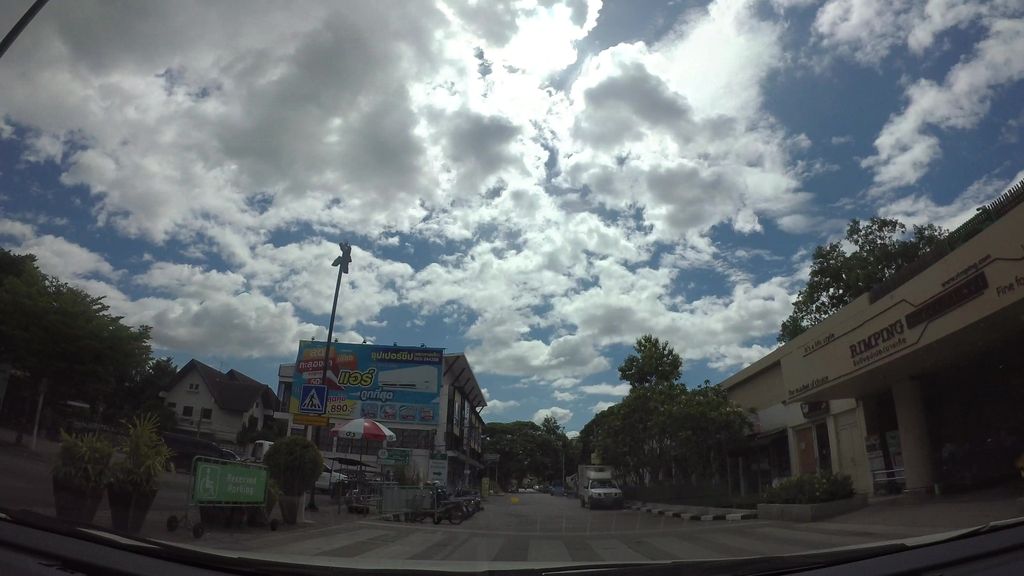
ถ่ายเมื่อ พ.ศ. 2562 (2019) — ตอนนี้หน้าร้านอาจเปลี่ยนไปแล้ว · Taken in 2562 (2019) — the street may have changed since · kaart_3 · CC BY-SA 4.0 · Mapillary
รอบ ๆ ที่นี่ · Around here
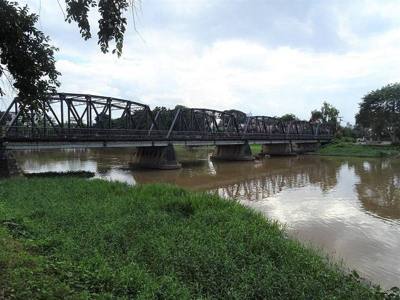 Iron Bridge100 ม. · 100 m
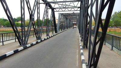 ขัวเหล็ก · Khua Lek, the Iron Bridge150 ม. · 150 m
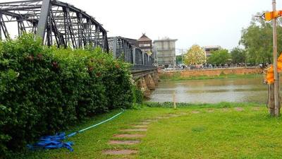 ขัวเหล็ก · Khua Lek, the Iron Bridge200 ม. · 200 m
 Nem nướng as sold in Thailand.200 ม. · 200 m
ภาพ:Photos: Christophe95 (CC BY-SA 4.0) · Roma Neus (CC BY 3.0) · Index Librorum Permissorum (CC0) · ผ่าน Wikimedia Commons · via Wikimedia Commons


ธรรมชาติแถวนี้ · Nature nearby
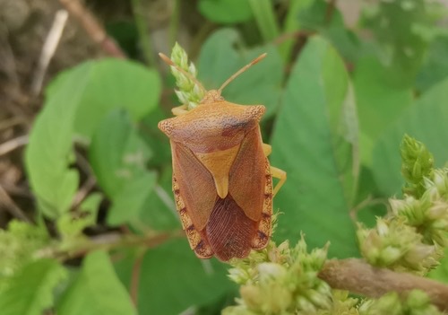 Pygoplatys auropunctatus150 ม. · 150 m
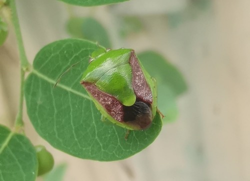 Plautia crossota150 ม. · 150 m
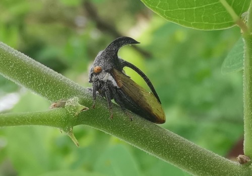 เพลี้ยจักจั่นเขา · eggplant horned planthopper150 ม. · 150 m
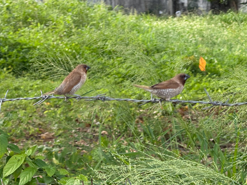 นกกระติ๊ดขี้หมู · Scaly-breasted Munia150 ม. · 150 m
ภาพ:Photos: Cheryl Stinchcomb (CC BY) · ผ่าน iNaturalist · via iNaturalist
ถนนโอสถาพันธุ์ · Osathaphan Road 🅿 จอดลานพื้น · Surface parking 🅿 ที่จอดรถ · Car park ที่จอดรถ · Parking ต.วัดเกต · Wat Ket (subdistrict) 🏞 ริมน้ำ · Riverside อ.เมืองเชียงใหม่ · Mueang Chiang Mai (district)
- ก๋วยเตี๋ยวปลา ด๊อกเตอร์ · Kuaitiao Pla Doktoe · 20 ม. · 20 m
- ที่จอดมอเตอร์ไซค์ · นอกเวียง ทางตะวันออก ห่างคูเมือง 1.4 กม. · Motorcycle parking · Outside the moat to the east, 1.4 km from the water · 30 ม. · 30 m
- Mingmitr · 30 ม. · 30 m
- Rimping Supermarket · 30 ม. · 30 m
- Fresher Juice Bar · 40 ม. · 40 m
- ชื่ออังกฤษ · English name
- Car park · Outside the moat to the east, 1.4 km from the water
- ตำบล · อำเภอ · District
- ต.วัดเกต Tambon Wat Ket · อ.เมืองเชียงใหม่ Amphoe Mueang Chiang Mai
- ถนน · Road
- ถนนโอสถาพันธุ์ Thanon Otthaphan (28) · 22 ม. · 22 m
- แผนที่ · Map
- มดแดง · Mot Dang · OpenStreetMap · Google · Apple · Geo
- รหัสที่ · Place ID
MD-4Q55N- ทิศทาง · Bearings
- นอกเวียง ทางตะวันออก ห่างคูเมือง 1.4 กม. · Outside the moat to the east, 1.4 km from the water
ห่างขัวเหล็ก (สะพานจันทร์สมอนุสรณ์) 170 ม. ไปทางตะวันออก · 170 m east of Iron Bridge
ย่านริมปิง-วัดเกต-เจริญราษฎร์ · Riverside & Wat Ket
OpenStreetMap · 2026-07-27