Doi Lium
เจ้าของที่นี่? ทำเว็บให้ฟรี · Is this your place? Make its page, free →
ห้องน้ำใกล้สุด · Nearest toilet: โรงพยาบาลส่งเสริมสุขภาพตำบลบ้านแม่ฮะ ตำบลบ้านปง · 3.5 กม. ตามถนน · 3.5 km by road · เดิน ~43 นาที · ~43 min walk · ที่อื่นจากตรงนี้ · more from here
ทัวร์และตั๋วเที่ยวเชียงใหม่ · Klook · Chiang Mai tours & tickets · Klook ลิงก์มีค่าตอบแทน: มดแดงได้ค่าแนะนำเมื่อคุณจองผ่านลิงก์นี้ · Paid link: Mot Dang earns a fee if you book.
ธรรมชาติแถวนี้ · Nature nearby
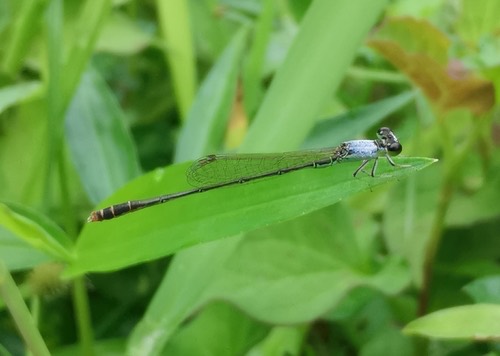 แมลงปอเข็มเล็กขนขาว · Variable Wisp950 ม. · 950 m
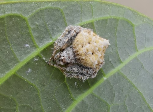 แมงมุมใยกลมท้องแหลม · Laglaise's Garden Spider950 ม. · 950 m
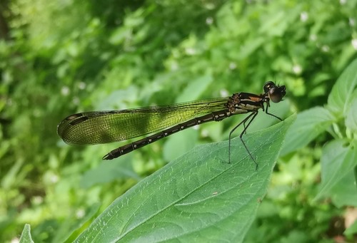 แมลงปอเข็มน้ำตกสั้นปลายปีกดำ950 ม. · 950 m
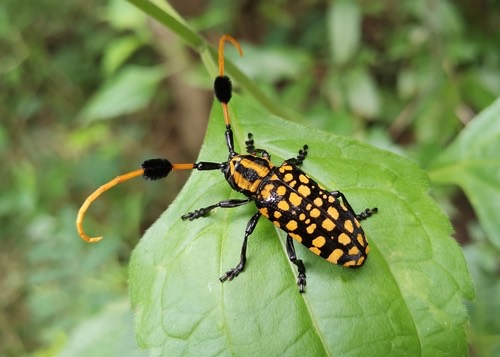 ด้วงหนวดปมจุดเหลืองดำ950 ม. · 950 m
ภาพ:Photos: Cheryl Stinchcomb (CC BY) · ผ่าน iNaturalist · via iNaturalist
- Valey of Love · 360 ม. · 360 m
- ตำบล · อำเภอ · District
- ต.บ้านปง Tambon Ban Pong · อ.หางดง Amphoe Hang Dong
- ความสูงจากระดับน้ำทะเล · Elevation
- 665 เมตร · อ่านจากแบบจำลองภูมิประเทศ 2026-08-27 · 665 metres · read from the terrain model, 2026-08-27
- แผนที่ · Map
- มดแดง · Mot Dang · OpenStreetMap · Google · Apple · Geo
- รหัสที่ · Place ID
MD-85A59- ทิศทาง · Bearings
- ห่างประตูท่าแพ 15.7 กม. ทางตะวันตก · 15.7 km due west of Tha Phae Gate
ย่านจอมทอง-ฮอด-ดอยหล่อ · Chom Thong, Hot & Doi Lo
OpenStreetMap · 2026-07-27