แจ่งหัวลิน · Hua Lin Corner
เจ้าของที่นี่? ทำเว็บให้ฟรี · Is this your place? Make its page, free →
ห้องน้ำใกล้สุด · Nearest toilet: อุทยานการค้ากาดสวนแก้ว · Kad Suan Kaew · 110 ม. ตามถนน · 110 m by road · เดิน ~1 นาที · ~1 min walk · ที่อื่นจากตรงนี้ · more from here

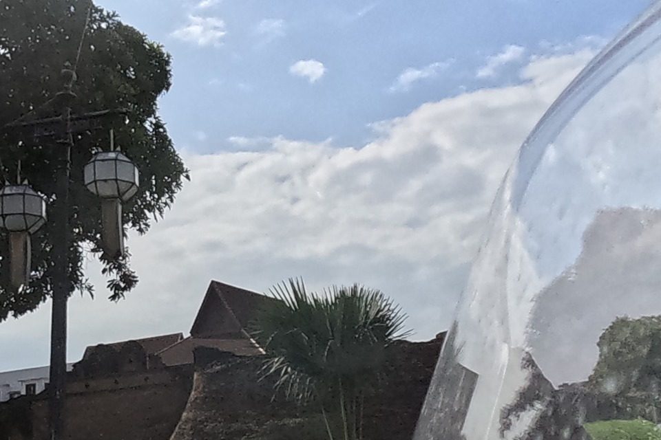
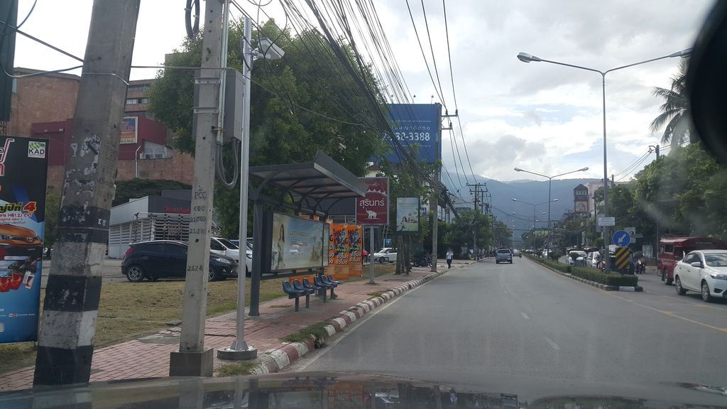
ถ่ายเมื่อ พ.ศ. 2561 (2018) — ตอนนี้หน้าร้านอาจเปลี่ยนไปแล้ว · Taken in 2561 (2018) — the street may have changed since · jrcarlsen · CC BY-SA 4.0 · Mapillary
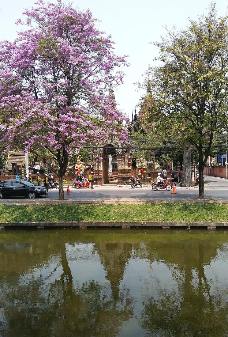
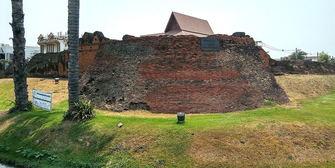
รอบ ๆ ที่นี่ · Around here
 Jaeng Hua Rin or Hua Rin Corner is the northwestern…ที่นี่ · here
 Duizenden kaarsjes worden op de vooravond van het Yi Peng…100 ม. · 100 m
 อุทยานการค้ากาดสวนแก้ว (Einkaufszentrum in Thailand)150 ม. · 150 m
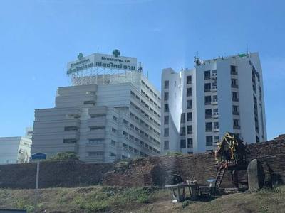 โรงพยาบาลเชียงใหม่ราม · Chiang Mai Ram Hospital150 ม. · 150 m
ภาพ:Photos: Hartmann Linge (CC BY-SA 4.0) · FredTC (CC BY-SA 4.0) · Vano111ru (CC BY-SA 4.0) · Chainwit. (CC BY 4.0) · ผ่าน Wikimedia Commons · via Wikimedia Commons

ธรรมชาติแถวนี้ · Nature nearby
 ตำลึง · Ivy gourd100 ม. · 100 m
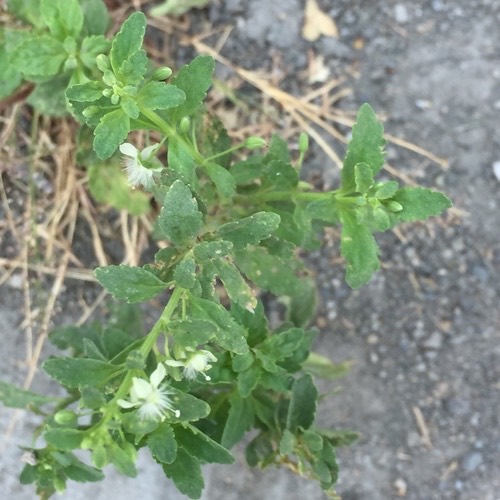 กรดน้ำ · Licorice Weed100 ม. · 100 m
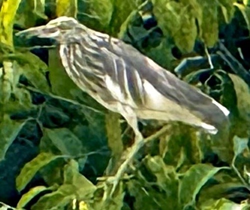 นกยางกรอกพันธุ์จีน · Chinese Pond-Heron100 ม. · 100 m
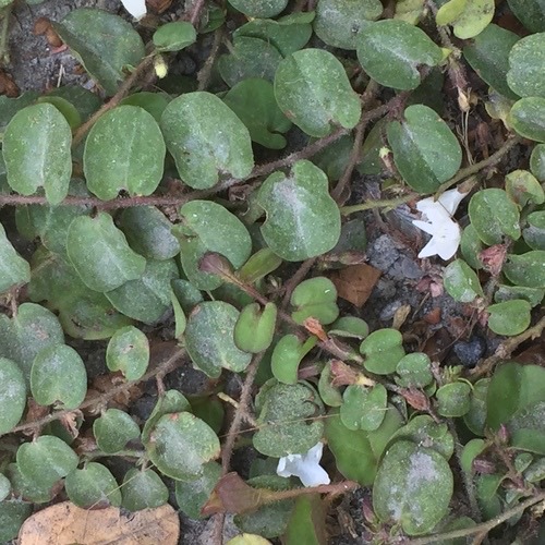 ใบต่างเหรียญ · Dwarf Morning Glory150 ม. · 150 m
ภาพ:Photos: Zoltán Stekkelpak (CC0) · Andre Hosper (CC BY) · Chuck Wilson (CC0) · ผ่าน iNaturalist · via iNaturalist
ประวัติ · History
แจ่งตะวันตกเฉียงเหนือของคูเมือง หนึ่งในสี่ป้อมมุมที่เพิ่มเข้าไปในการบูรณะยุคหลัง ตี้สองด้านตรงของคูเมืองมาบรรจบ และตี้รถทางเดียวเลี้ยวหัวมุม หัวลินแปลว่าหัวรางน้ำ คูเมืองรับน้ำจากดอยสุเทพที่แจ่งนี้ และน้ำยังเข้าตรงนี้ · The northwest corner of the moat, one of the four bastions (chaeng) added to the wall in later restorations. Where two straight sides of the moat meet, and where the one-way traffic makes its turn. Hua Lin means the head of the water channel: the moat was fed from Doi Suthep at this corner, and the water still enters here.
- Chichai Coffee · 20 ม. · 20 m
- Seven Fountains Jesuit Retreat Center · 30 ม. · 30 m
- Tiki Torch · 30 ม. · 30 m
- Northern Grower · 30 ม. · 30 m
- Superbud@Weed Shop Ganj Chiang - Best Cannabis in Chiangmai 大麻店 · 30 ม. · 30 m
- ชื่ออังกฤษ · English name
- Hua Lin Corner
- ตำบล · อำเภอ · District
- ต.สุเทพ Tambon Suthep · อ.เมืองเชียงใหม่ Amphoe Mueang Chiang Mai
- ถนน · Road
- ถนนห้วยแก้ว Thanon Huai Kaeo (321) · 25 ม. · 25 m
- กล้องเห็นล่าสุด · Camera last saw it
- 24 ก.ย. 2569 09:47 น. · 24 Sep 2026, 09:47
- แผนที่ · Map
- มดแดง · Mot Dang · OpenStreetMap · Google · Apple · Geo
- รหัสที่ · Place ID
MD-8TVKG- ทิศทาง · Bearings
- นอกเวียง ทางตะวันตกเฉียงเหนือ ห่างคูเมือง 270 ม. · ใกล้ประตูสวนดอก 800 ม. · Outside the moat to the north-west, 270 m from the water · 800 m from Suan Dok Gate
ห่างกลางโรงพยาบาลเชียงใหม่ราม 120 ม. ไปทางเหนือ · 120 m due north of the middle of Chiang Mai Ram Hospital
อ่านต่อที่อื่น · Read more elsewhere

Roads of Chiang Mai · 2026-09-21