Hug Hmong coffee
ห้องน้ำใกล้สุด · Nearest toilet: สำนักสงฆ์บ้านขุนช่างเคี่ยน · 670 ม. ตามถนน · 670 m by road · เดิน ~8 นาที · ~8 min walk · ที่อื่นจากตรงนี้ · more from here
เว็บเดิมของที่นี่ · Their earlier website
หน้านี้เปิดไม่ได้แล้ว — เก็บลิงก์ไว้ให้ในคลังแทนเจ้า · This page no longer answers; the archived copy is here instead.- xn--42ci4ccucfopx2kpb8khm9b1dzd.com — โดเมนไม่มีแล้ว (ตรวจเมื่อ 2026-09-11) · the domain is gone (checked 2026-09-11) · ดูฉบับเก็บถาวร 2026-02-10 · see the archived copy, 2026-02-10
รอบ ๆ ที่นี่ · Around here

ภาพ:Photos: yipsee (CC0) · ผ่าน Wikimedia Commons · via Wikimedia Commons
ธรรมชาติแถวนี้ · Nature nearby
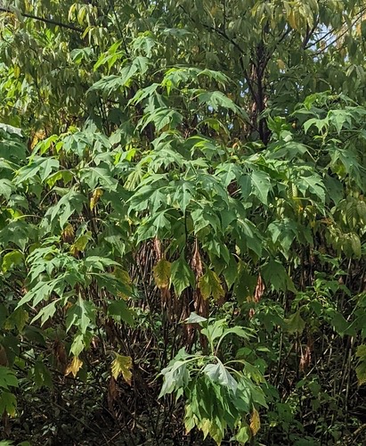 บัวตอง · Mexican sunflower100 ม. · 100 m
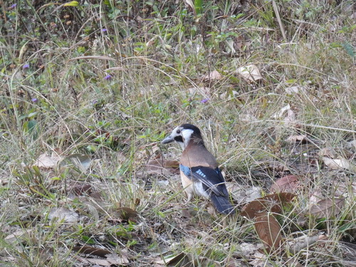 White-faced Jay400 ม. · 400 m
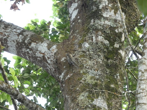 กระเล็นขนปลายหูสั้น · Himalayan Striped Squirrel550 ม. · 550 m
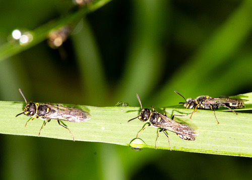 Philanthus nepalensis550 ม. · 550 m
ภาพ:Photos: Caleb Catto (CC BY) · luluchouette (CC BY) · yipsee (CC0) · ผ่าน iNaturalist · via iNaturalist
- View Suai Coffee · 30 ม. · 30 m
- Hwoadhe' Craft & Farm - ฮ๋าวเด้ คราฟ · 70 ม. · 70 m
- บ้านขุนชัางเคี่ยน · Ban Khun Changakhian · 80 ม. · 80 m
- Chong Wa Coffee Shop · 120 ม. · 120 m
- กาแฟขุนช่างเคี่ยน - KCK Beans · 320 ม. · 320 m
- ที่อยู่ · Address
- บ้านขุนช่างเคี่ยน 48 ม.4 ต.ช้างเผือก Tambon Chang Phueak
- ตำบล · อำเภอ · District
- ต.ช้างเผือก Tambon Chang Phueak · อ.แม่ริม Amphoe Mae Rim
- แผนที่ · Map
- มดแดง · Mot Dang · OpenStreetMap · Google · Apple · Geo
- รหัสที่ · Place ID
MD-4ZG3V- ทิศทาง · Bearings
- ห่างประตูท่าแพ 11.3 กม. ทางตะวันตกเฉียงเหนือ · 11.3 km north-west of Tha Phae Gate
ย่านแม่ริม · Mae Rim
ชื่อ-ที่อยู่ Overture Maps · CDLA-Permissive-2.0 · Name & address Overture Maps · CDLA-Permissive-2.0 · 2026-10-20