ศูนย์กู้ชีพ กู้ภัย เทศบาลแม่โจ้ · Mae Jo Municipal Rescue Centre
เจ้าของร้านนี้? ทำเว็บให้ร้านฟรี · Is this your shop? Make its page, free →
≈
ตำแหน่งโดยประมาณ — วงกลมคือช่วงที่เป็นไปได้ · Approximate position — the circle is the range it could be inห้องน้ำใกล้สุด · Nearest toilet: เชียงใหม่ อะไหล่กล้อง ซ่อมกล้องแม่โจ้ · 410 ม. ตามถนน · 410 m by road · เดิน ~5 นาที · ~5 min walk · ที่อื่นจากตรงนี้ · more from here
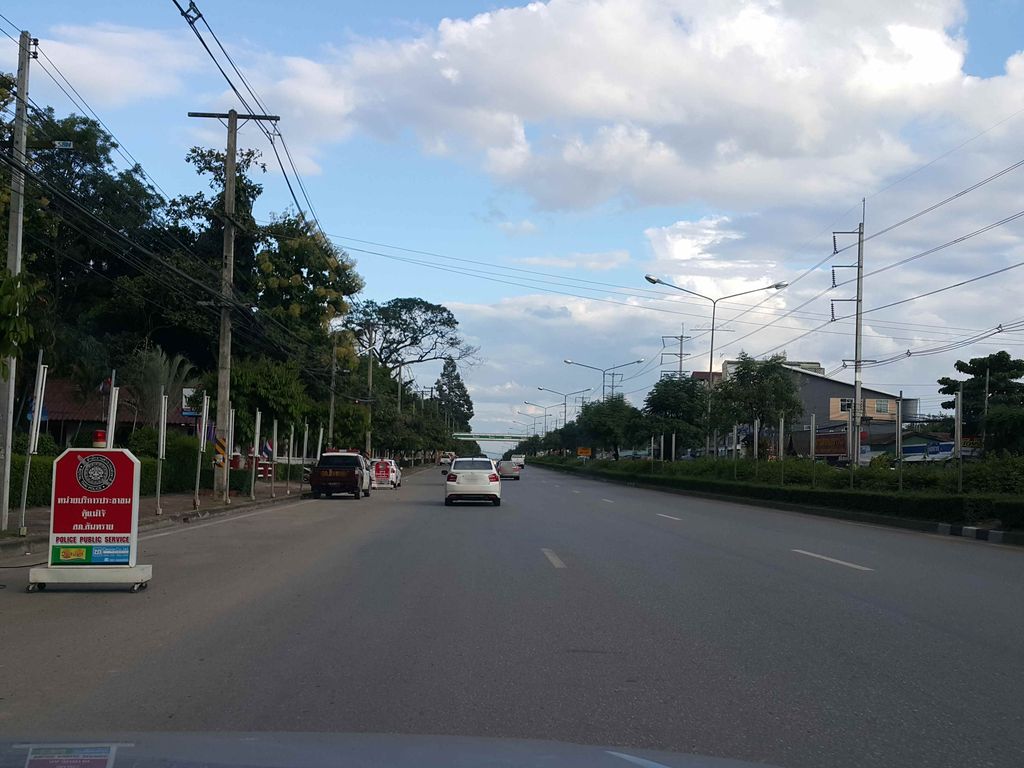
ถ่ายเมื่อ พ.ศ. 2558 (2015) — ตอนนี้หน้าร้านอาจเปลี่ยนไปแล้ว · Taken in 2558 (2015) — the street may have changed since · jrcarlsen · CC BY-SA 4.0 · Mapillary
🕓 เปิด 24 ชั่วโมง · Open 24 hours เปิดเช้ามาก · Open early ราชการ-เอกสาร · Government Offices ต.หนองหาร · Nong Han (subdistrict) เชียงใหม่ · Chiang Mai เปิดดึก · Open late อ.สันทราย · San Sai (district)
- DOA Cafe' Maejo · 10 ม. · 10 m
- Big Joint - 420 CNX - MAEJO · 60 ม. · 60 m
- ผลไม้พร้อมทานร้านคุณแม่ เชียงใหม่ · Phlamai Pharomthan Ran Khunmae Chiang Mai · 60 ม. · 60 m
- ก๋วยเตี๋ยวเรือพริกแซ่บ · Kuai Tiaoruea Phrik Saep · 80 ม. · 80 m
- De Jam Clinic คลินิกความงามเชียงใหม่ · 80 ม. · 80 m
- ชื่ออังกฤษ · English name
- Mae Jo Municipal Rescue Centre
- ที่อยู่ · Address
- ถนนเชียงใหม่-พร้าว (1001) ต.หนองหาร อ.สันทราย จ.เชียงใหม่ Thanon Chiang Mai-Phrao (1001) · Tambon Nong Han · Amphoe San Sai · Changwat Chiang Mai
- เวลาเปิด · Hours
- 24/7
- เรียกอีกอย่างว่า · Also called
- หน่วยกู้ภัยแม่โจ้ Nuai Kuphai Mae Jo · Mae Jo Rescue
- แผนที่ · Map
- มดแดง · Mot Dang · OpenStreetMap · Google · Apple · Geo (โดยประมาณ) · (approximate)
- รหัสที่ · Place ID
MD-JE4F3- ทิศทาง · Bearings
- ห่างประตูท่าแพราว 13 กม. ทางเหนือ (โดยประมาณ) · about 13 km north of Tha Phae Gate (approximate)
ย่านแม่ริม · Mae Rim
หมุด ±1,000 ม. · pin ±1,000 m
อ่านต่อที่อื่น · Read more elsewhere
ข้อมูลเปิด · Open data · 2026-09-26