ที่จอดรถ · นอกเวียง ทางตะวันออกเฉียงเหนือ ห่างคูเมือง 2.0 กม. · Parking · Outside the moat to the north-east, 2.0 km from the water
เจ้าของร้านนี้? ทำเว็บให้ร้านฟรี · Is this your shop? Make its page, free →
ห้องน้ำใกล้สุด · Nearest toilet: กศน.ตำบลฟ้าฮ่าม · 390 ม. ตามถนน · 390 m by road · เดิน ~5 นาที · ~5 min walk · ที่อื่นจากตรงนี้ · more from here
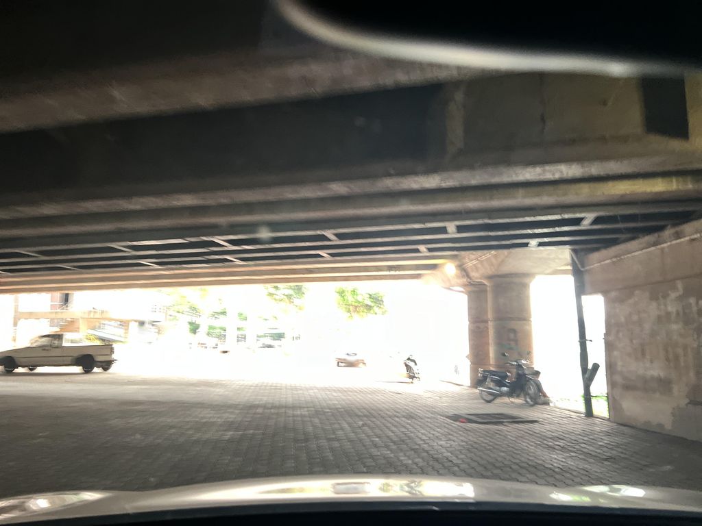
ถ่ายเมื่อ พ.ศ. 2567 (2024) · Taken in 2567 (2024) · lin_wang · CC BY-SA 4.0 · Mapillary
รอบ ๆ ที่นี่ · Around here
 Khanom chin nam ngiao (Thai script: ขนมจีนน้ำเงี้ยว): A…650 ม. · 650 m
 Nam phrik ong (Thai script: น้ำพริกอ่อง): A Northern Thai…650 ม. · 650 m
 清迈街头750 ม. · 750 m
 Singha 3-flessenverpakking die inhoud 620 ml per fles toont800 ม. · 800 m
ภาพ:Photos: Takeaway (CC BY-SA 3.0) · 江上清风1961 (CC BY 3.0) · FredTC (CC BY-SA 4.0) · ผ่าน Wikimedia Commons · via Wikimedia Commons
ธรรมชาติแถวนี้ · Nature nearby
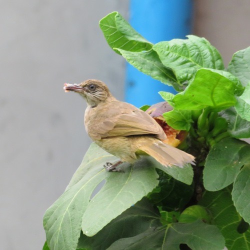 นกปรอดสวน · Streak-eared Bulbul750 ม. · 750 m
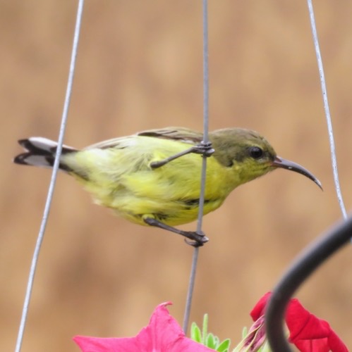 นกกินปลีอกเหลือง · Ornate Sunbird850 ม. · 850 m
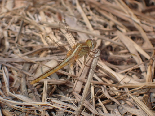 แมลงปอบ้านบ่อ · Scarlet Skimmer850 ม. · 850 m
ภาพ:Photos: Attila Oláh (CC BY) · luluchouette (CC BY) · ผ่าน iNaturalist · via iNaturalist
ถนนซุปเปอร์ไฮเวย์ · Super Highway ต.ฟ้าฮ่าม · Fa Ham (subdistrict) 🅿 ที่จอดรถ · Car park ที่จอดรถ · Parking 🏞 ริมน้ำ · Riverside อ.เมืองเชียงใหม่ · Mueang Chiang Mai (district)
- กราฟฟิตีบนกำแพง · Tagged concrete beams in an underpass · 30 ม. · 30 m
- DSI · 60 ม. · 60 m
- Chillping · 90 ม. · 90 m
- Smile Clinic Chiang Mai · 90 ม. · 90 m
- Chiangmai Teleshop · 100 ม. · 100 m
- ชื่ออังกฤษ · English name
- Parking · Outside the moat to the north-east, 2.0 km from the water
- ตำบล · อำเภอ · District
- ต.ฟ้าฮ่าม Tambon Fa Ham · อ.เมืองเชียงใหม่ Amphoe Mueang Chiang Mai
- ถนน · Road
- ถนนซุปเปอร์ไฮเวย์ Thanon Super Highway (179) · 6 ม. · 6 m
- แผนที่ · Map
- มดแดง · Mot Dang · OpenStreetMap · Google · Apple · Geo
- รหัสที่ · Place ID
MD-VBX2W- ทิศทาง · Bearings
- นอกเวียง ทางตะวันออกเฉียงเหนือ ห่างคูเมือง 2.0 กม. · Outside the moat to the north-east, 2.0 km from the water
OpenStreetMap · 2026-07-27