Sawasdee
เจ้าของร้านนี้? ทำเว็บให้ร้านฟรี · Is this your shop? Make its page, free →
ห้องน้ำใกล้สุด · Nearest toilet: วัดทุ่งหลวง · 210 ม. ตามถนน · 210 m by road · เดิน ~3 นาที · ~3 min walk · ที่อื่นจากตรงนี้ · more from here
เว็บเดิมของที่นี่ · Their earlier website
หน้านี้เปิดไม่ได้แล้ว — เก็บลิงก์ไว้ให้ในคลังแทนเจ้า · This page no longer answers; the archived copy is here instead.- strikingly.com/sawasdeemassage — หน้านั้นไม่มีแล้ว (ตรวจเมื่อ 2026-10-18) · that page is no longer there (checked 2026-10-18)
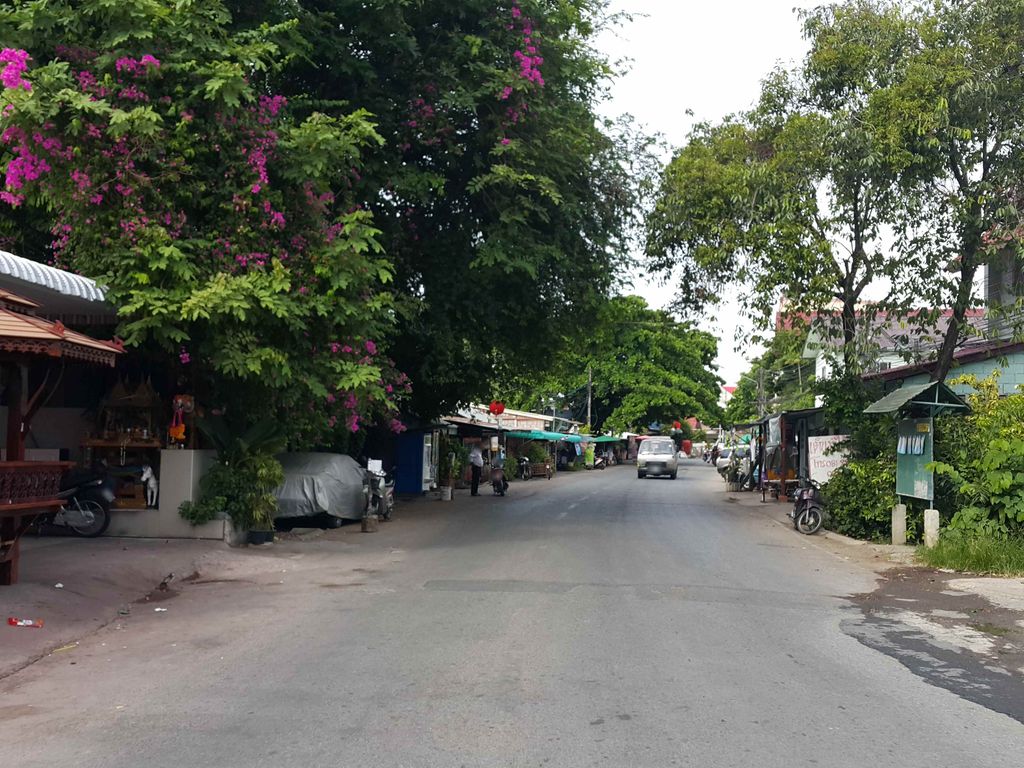
ถ่ายเมื่อ พ.ศ. 2558 (2015) — ตอนนี้หน้าร้านอาจเปลี่ยนไปแล้ว · Taken in 2558 (2015) — the street may have changed since · jrcarlsen · CC BY-SA 4.0 · Mapillary
รอบ ๆ ที่นี่ · Around here
 清迈风情150 ม. · 150 m
 200 ม. · 200 m
 Chiang Mai, Thailand: The Imperial Mae Ping Hotel300 ม. · 300 m
 Small river in Chiang Mai.350 ม. · 350 m
ภาพ:Photos: 江上清风1961 (CC BY 3.0) · กสิณธร ราชโอรส (CC BY-SA 4.0) · CEphoto, Uwe Aranas (CC BY-SA 4.0) · Christophe95 (CC BY-SA 4.0) · ผ่าน Wikimedia Commons · via Wikimedia Commons
ธรรมชาติแถวนี้ · Nature nearby
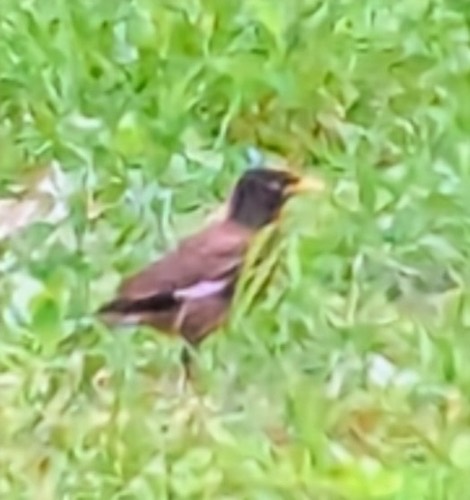 นกเอี้ยงสาริกา · Common Myna100 ม. · 100 m
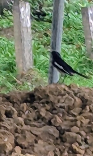 นกกางเขนบ้าน · Oriental Magpie-Robin150 ม. · 150 m
 นกกระจอกบ้าน · Eurasian Tree Sparrow150 ม. · 150 m
 ผีเสื้อฟ้าจุดขอบ · Tiny Grass Blue150 ม. · 150 m
ภาพ:Photos: Paul Bonner (CC BY) · Scott Edmunds (CC0) · ผ่าน iNaturalist · via iNaturalist
- Soft Night Bazaar · 10 ม. · 10 m
- Wind Down Bar · 10 ม. · 10 m
- ทิพวรรณ · Thiphuanron · 10 ม. · 10 m
- พี่เพ็ญ หม่าล่า · Phiphen Mala · 20 ม. · 20 m
- 23 Fixedtory · 20 ม. · 20 m
- ที่อยู่ · Address
- khampangdin Rd
- ตำบล · อำเภอ · District
- อ.เมืองเชียงใหม่ Amphoe Mueang Chiang Mai
- ถนน · Road
- ถนนกำแพงดิน Thanon Kamphaengdin (137) · 10 ม. · 10 m
- แผนที่ · Map
- มดแดง · Mot Dang · OpenStreetMap · Google · Apple · Geo
- รหัสที่ · Place ID
MD-7M6PC- ทิศทาง · Bearings
- นอกเวียง ทางตะวันออกเฉียงใต้ ห่างคูเมือง 590 ม. · Outside the moat to the south-east, 590 m from the water
ห่างพันธุ์ทิพย์ พลาซ่า 280 ม. ไปทางตะวันตกเฉียงใต้ · 280 m south-west of Pantip Plaza
ย่านวัวลาย-หายยา · Wualai & Haiya (south of the moat)
OpenStreetMap · 2026-07-14