หอดูดาวเฉลิมพระเกียรติ ๗ รอบพระชนนพรรษา · Thai National Observatory
เจ้าของที่นี่? ทำเว็บให้ฟรี · Is this your place? Make its page, free →
ที่แบบนี้มักมีห้องน้ำให้ใช้ · Places like this normally have a toilet · ที่อื่นใกล้ ๆ · others nearby
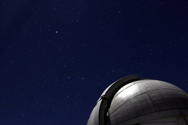
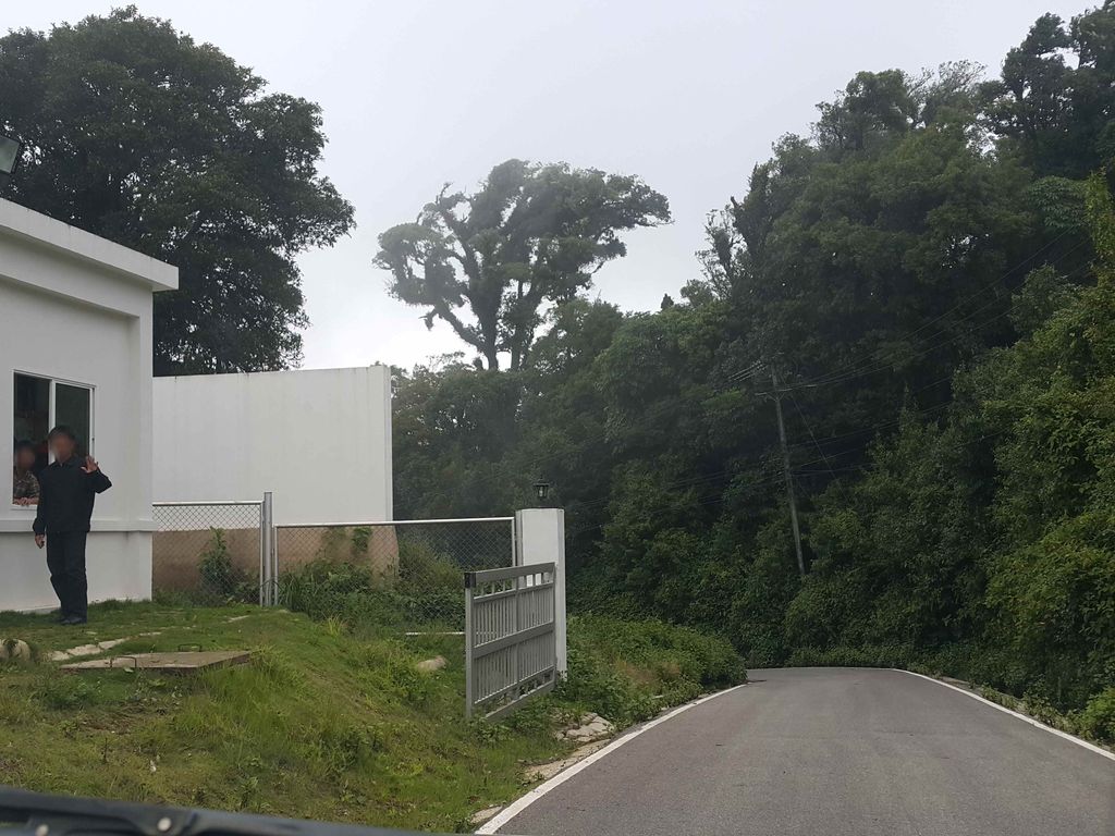
ถ่ายเมื่อ พ.ศ. 2558 (2015) — ตอนนี้หน้าร้านอาจเปลี่ยนไปแล้ว · Taken in 2558 (2015) — the street may have changed since · jrcarlsen · CC BY-SA 4.0 · Mapillary
- ชื่ออังกฤษ · English name
- Thai National Observatory
- ตำบล · อำเภอ · District
- ต.ช่างเคิ่ง Tambon Changkhoeng · อ.แม่แจ่ม Amphoe Mae Chaem
- เรียกอีกอย่างว่า · Also called
- NARIT
- แผนที่ · Map
- มดแดง · Mot Dang · OpenStreetMap · Google · Apple · Geo
- รหัสที่ · Place ID
MD-8TEVM- ทิศทาง · Bearings
- ห่างประตูท่าแพ 59 กม. ทางตะวันตกเฉียงใต้ · 59 km south-west of Tha Phae Gate
ย่านจอมทอง-ฮอด-ดอยหล่อ · Chom Thong, Hot & Doi Lo
อ่านต่อที่อื่น · Read more elsewhere

OpenStreetMap · 2026-07-27