ขัวข้ามคูเมือง · The bridges over the moat
เจ้าของที่นี่? ทำเว็บให้ฟรี · Is this your place? Make its page, free →
≈
ตำแหน่งโดยประมาณ — วงกลมคือช่วงที่เป็นไปได้ · Approximate position — the circle is the range it could be inห้องน้ำใกล้สุด · Nearest toilet: Baanchang Elephant Park · 70 ม. ตามถนน · 70 m by road · เดิน ~1 นาที · ~1 min walk · ที่อื่นจากตรงนี้ · more from here
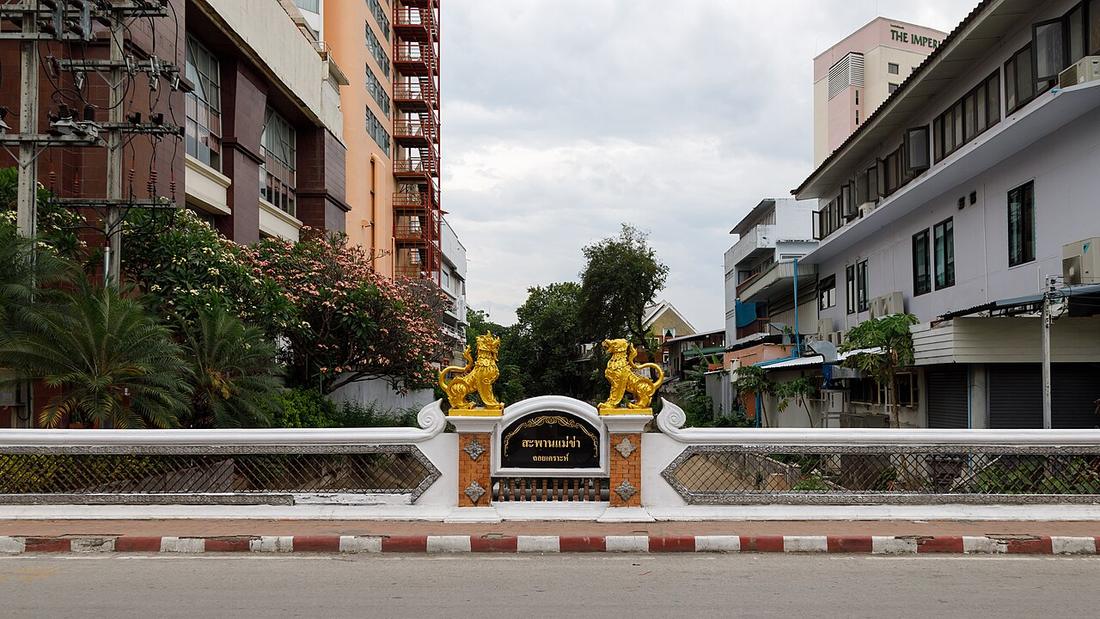
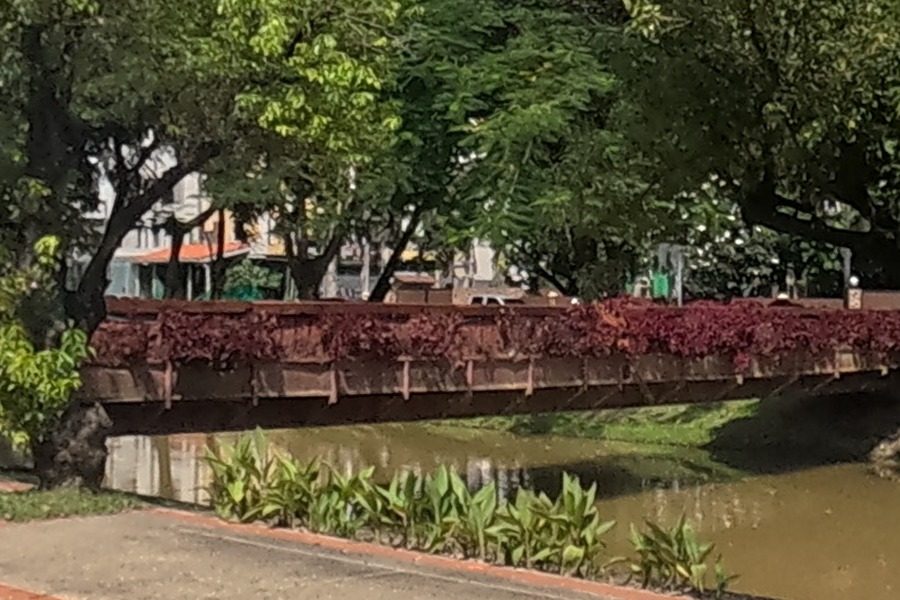
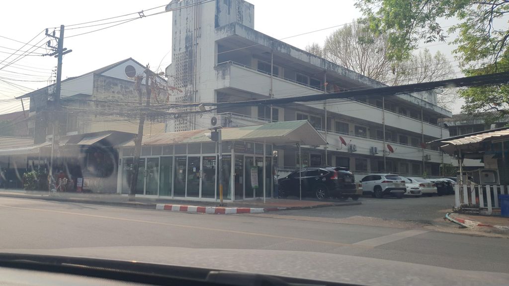
ถ่ายเมื่อ พ.ศ. 2566 (2023) · Taken in 2566 (2023) · jrcarlsen · CC BY-SA 4.0 · Mapillary
รอบ ๆ ที่นี่ · Around here
 The Chiang Mai Sunday Night Market in September 2018.50 ม. · 50 m
 The Chiang Mai Sunday Night Market in September 2018.50 ม. · 50 m
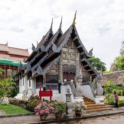 วัดเจดีย์หลวงวรวิหาร · Wat Chedi Luang150 ม. · 150 m
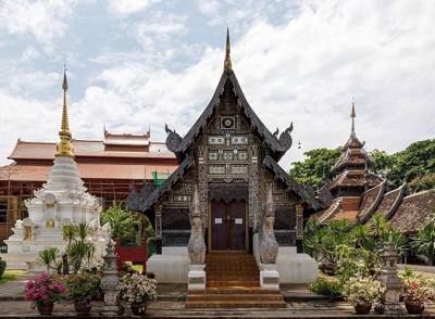 วัดเจดีย์หลวงวรวิหาร · Wat Chedi Luang150 ม. · 150 m
ภาพ:Photos: Christophe95 (CC BY-SA 4.0) · CEphoto, Uwe Aranas (CC BY-SA 4.0) · ผ่าน Wikimedia Commons · via Wikimedia Commons

ธรรมชาติแถวนี้ · Nature nearby
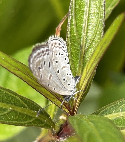 ผีเสื้อฟ้าจุดขอบ · Tiny Grass Blue150 ม. · 150 m
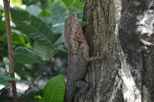 กิ้งก่าหัวสีฟ้า · Siamese Blue Crested Lizard150 ม. · 150 m
 กระรอกหลากสี · Variable Squirrel200 ม. · 200 m
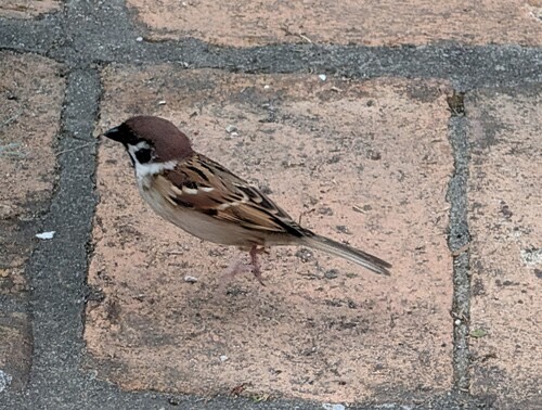 นกกระจอกบ้าน · Eurasian Tree Sparrow200 ม. · 200 m
ภาพ:Photos: Scott Edmunds (CC0) · Donald Davesne (CC BY) · Zac Peterson (CC BY) · ผ่าน iNaturalist · via iNaturalist
ประวัติ · History
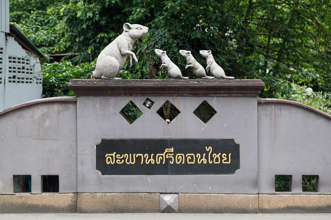
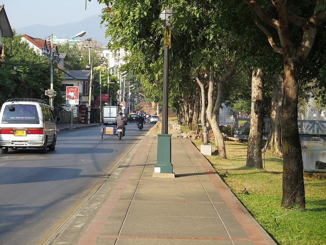
คูเมืองถูกข้ามด้วยขัวรถและขัวคนสั้น ๆ ตรงประตูและระหว่างประตู ถูกนับจากแผนที่บนหน้าจุดข้ามพร้อมขัวแม่ปิง ขัวลอยเคราะห์และขัวที่คนเรียกขัวหนูมีรูป · The moat is crossed by short road and foot bridges at the gates and between them. They are counted from the map on the crossings page alongside the Ping bridges; the Loi Kroh bridge and the one people call the rat bridge have pictures.
- ทางลอดเจ็ดแห่งของวงแหวนรอบกลาง · The seven underpasses of the middle ring · 0 ม. · 0 m
- คูเมือง · The moat · 0 ม. · 0 m
- RDN Massage · 0 ม. · 0 m
- Krua dabb lob · 10 ม. · 10 m
- Aladdin Studio · 10 ม. · 10 m
- ชื่ออังกฤษ · English name
- The bridges over the moat
- ตำบล · อำเภอ · District
- ต.พระสิงห์ Tambon Phra Sing · อ.เมืองเชียงใหม่ Amphoe Mueang Chiang Mai
- ถนน · Road
- ถนนราชดำเนิน Thanon Ratcha Damnoen (155) · 2 ม. · 2 m
- กล้องเห็นล่าสุด · Camera last saw it
- 23 ก.ย. 2569 14:05 น. · 23 Sep 2026, 14:05
- แผนที่ · Map
- มดแดง · Mot Dang · OpenStreetMap · Google · Apple · Geo (โดยประมาณ) · (approximate)
- รหัสที่ · Place ID
MD-EYHQ2- ทิศทาง · Bearings
- ในเวียง (โดยประมาณ) · Inside the old city (approximate)
หมุด ±1,000 ม. · pin ±1,000 m
อ่านต่อที่อื่น · Read more elsewhere
Roads of Chiang Mai · 2026-09-21