วัดหนองโค้ง · Wat Nong Khong
เจ้าของที่นี่? ทำเว็บให้ฟรี · Is this your place? Make its page, free →
≈
ตำแหน่งโดยประมาณ — วงกลมคือช่วงที่เป็นไปได้ · Approximate position — the circle is the range it could be inที่แบบนี้มักมีห้องน้ำให้ใช้ · Places like this normally have a toilet · ที่อื่นใกล้ ๆ · others nearby
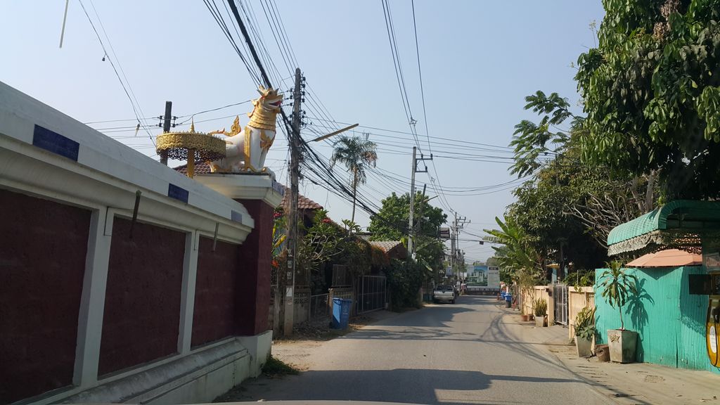
ถ่ายเมื่อ พ.ศ. 2560 (2017) — ตอนนี้หน้าร้านอาจเปลี่ยนไปแล้ว · Taken in 2560 (2017) — the street may have changed since · jrcarlsen · CC BY-SA 4.0 · Mapillary
- Green Land Cnx. · 60 ม. · 60 m
- Under the old place · 130 ม. · 130 m
- ฮักผมบาร์เบอร์ · Hakphom Barber · 150 ม. · 150 m
- Forabee · 170 ม. · 170 m
- Tattoo By Vakim · 170 ม. · 170 m
- ชื่ออังกฤษ · English name
- Wat Nong Khong
- ตำบล · อำเภอ · District
- ต.ต้นเปา Tambon Ton Pao · อ.สันกำแพง Amphoe San Kamphaeng
- นิกาย · Nikaya
- unknown
- แผนที่ · Map
- มดแดง · Mot Dang · OpenStreetMap · Google · Apple · Geo
- รหัสที่ · Place ID
MD-5KEED- ทิศทาง · Bearings
- ห่างบ่อสร้าง 1.1 กม. ไปทางตะวันตกเฉียงใต้ · 1.1 km south-west of Bo Sang
ห่างประตูท่าแพ 9.0 กม. ทางตะวันออก · 9.0 km east of Tha Phae Gate
ย่านสันกำแพง · San Kamphaeng
อ่านต่อที่อื่น · Read more elsewhere
OpenStreetMap · 2026-07-21