วัดสันป่าเลียง · Wat San Pa Liang
เจ้าของที่นี่? ทำเว็บให้ฟรี · Is this your place? Make its page, free →
≈
ตำแหน่งโดยประมาณ — วงกลมคือช่วงที่เป็นไปได้ · Approximate position — the circle is the range it could be inที่แบบนี้มักมีห้องน้ำให้ใช้ · Places like this normally have a toilet · ที่อื่นใกล้ ๆ · others nearby
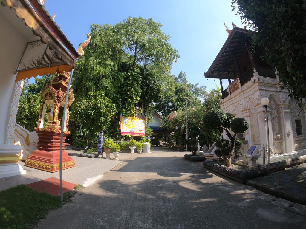
ถ่ายเมื่อ พ.ศ. 2562 (2019) — ตอนนี้หน้าร้านอาจเปลี่ยนไปแล้ว · Taken in 2562 (2019) — the street may have changed since · chanuwath_grab · CC BY-SA 4.0 · Mapillary
ธรรมชาติแถวนี้ · Nature nearby
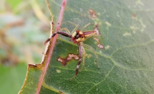 Epocilla praetextata250 ม. · 250 m
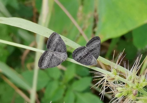 Trigonrecava taeniata250 ม. · 250 m
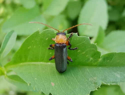 Martin's Soldier-beetle250 ม. · 250 m
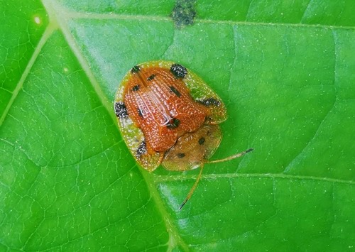 Nepalese Turtle Beetle250 ม. · 250 m
ภาพ:Photos: Cheryl Stinchcomb (CC BY) · ผ่าน iNaturalist · via iNaturalist
สมโภชเชียงใหม่ · Somphot Chiang Mai มหานิกาย · Maha Nikaya วัดราษฎร์ · Wat Rat ต.หนองหอย · Nong Hoi (subdistrict) วัด · Buddhist temple อ.เมืองเชียงใหม่ · Mueang Chiang Mai (district)
- โรงจอดรถ · ห่างประตูท่าแพ 4.5 กม. ทางตะวันออกเฉียงใต้ · Carports · 4.5 km south-east of Tha Phae Gate · 90 ม. · 90 m
- บัานสวนกินเส้น · Bana Suan Kinsen · 100 ม. · 100 m
- บริษัท อิคาริ เอ็นไวรอลเมนทอล จำกัด · Ikhari En Wairon Menthon Chamkat Company · 110 ม. · 110 m
- สวนสุขภาพ บ้านชัยพฤกษ์ · Suan Sukkhaphap Ban Chaiyaphruek · 110 ม. · 110 m
- CMA Muaythai Academy · 140 ม. · 140 m
- ชื่ออังกฤษ · English name
- Wat San Pa Liang
- ที่อยู่ · Address
- หมู่ 4, ถนนสมโภชเชียงใหม่ 700 ปี Thanon Somphot Chiang Mai 700 Pi
- ตำบล · อำเภอ · District
- ต.หนองหอย Tambon Nong Hoi · อ.เมืองเชียงใหม่ Amphoe Mueang Chiang Mai
- ก่อตั้ง · Founded
- พ.ศ. 2375 · 1832 CE
- นิกาย · Nikaya
- มหานิกาย — Maha Nikaya, the larger monastic order
- ประเภทวัด · Standing
- วัดราษฎร์ — a people's temple, not a royal one
- วิสุงคามสีมา · Wisung-khamsima
- ได้รับ — granted · 23/9/2539
- รหัสวัด · Temple register code
- 03500111003 ทะเบียนวัด สำนักงานพระพุทธศาสนาแห่งชาติ ฉบับ พ.ศ. ๒๕๖๗ · from the National Office of Buddhism temple register, B.E. 2567 edition
- แผนที่ · Map
- มดแดง · Mot Dang · OpenStreetMap · Google · Apple · Geo
- รหัสที่ · Place ID
MD-GN03C- ทิศทาง · Bearings
- ห่างประตูท่าแพ 4.6 กม. ทางตะวันออกเฉียงใต้ · 4.6 km south-east of Tha Phae Gate
อ่านต่อที่อื่น · Read more elsewhere
OpenStreetMap · 2026-07-21