ท่าน้ำ ภูแล · Tha Nam Phulae
ห้องน้ำใกล้สุด · Nearest toilet: ห้องน้ำสาธารณะ · Public toilet · 200 ม. ตามถนน · 200 m by road · เดิน ~2 นาที · ~2 min walk · ที่อื่นจากตรงนี้ · more from here
เว็บเดิมของที่นี่ · Their earlier website
หน้านี้เปิดไม่ได้แล้ว — เก็บลิงก์ไว้ให้ในคลังแทนเจ้า · This page no longer answers; the archived copy is here instead.- phulaerestaurant.com/thanamphulae — โดเมนไม่มีแล้ว (ตรวจเมื่อ 2026-10-17) · the domain is gone (checked 2026-10-17)
รอบ ๆ ที่นี่ · Around here
 "Northern Thai appetiser set" with "Nam Phrik Num" at Lu…400 ม. · 400 m
 Hanglé curry (Kaeng Hang Le), a northern Thai dish…450 ม. · 450 m
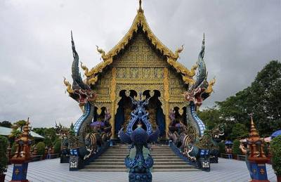 วัดร่องเสือเต้น · Wat Rong Suea Ten450 ม. · 450 m
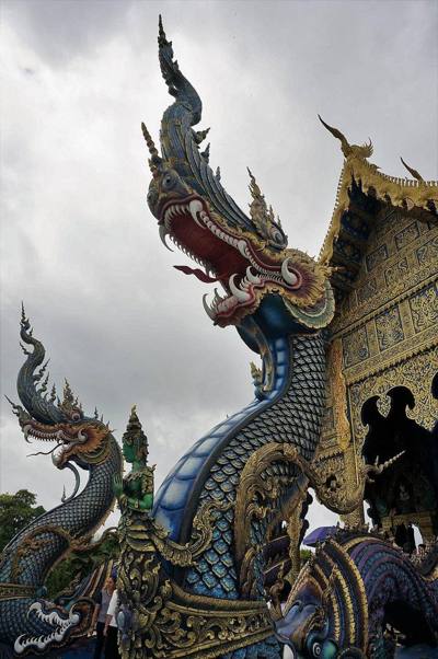 วัดร่องเสือเต้น · Wat Rong Suea Ten450 ม. · 450 m
ภาพ:Photos: Chainwit. (CC BY-SA 4.0) · Duangtipr (CC BY-SA 4.0) · ผ่าน Wikimedia Commons · via Wikimedia Commons

ธรรมชาติแถวนี้ · Nature nearby
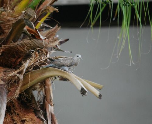 นกเขาไฟ · Red Collared-Dove100 ม. · 100 m
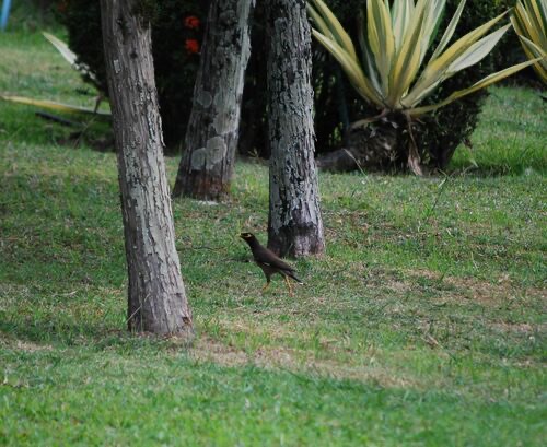 นกเอี้ยงสาริกา · Common Myna150 ม. · 150 m
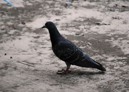 นกพิราบป่าปละ · Feral Pigeon200 ม. · 200 m
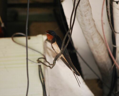 นกนางแอ่นบ้าน · Barn Swallow200 ม. · 200 m
ภาพ:Photos: Mirela (CC0) · ผ่าน iNaturalist · via iNaturalist
🇹🇭 อาหารไทย · Thai ต.ริมกก · Rimkok (subdistrict) 🏞 ริมน้ำ · Riverside อ.เมืองเชียงราย · Mueang Chiang Rai (district)
- ที่จอดรถ · ห่างวัดร่องเสือเต้น (วัดสีน้ำเงิน) 470 ม. ไปทางตะวันออก · Parking · 470 m east of Wat Rong Suea Ten (the Blue Temple) · 20 ม. · 20 m
- วัดร่องขุน เชียงราย · Wat Rongkhun Chiang Rai · 50 ม. · 50 m
- Tomato Japanese Restaurant -ร้านอาหารญี่ปุ่นโทเมะโทเชียงราย · 80 ม. · 80 m
- ชีวิตธรรมดา · Chivit Thamma Da Cafe · 100 ม. · 100 m
- ที่จอดรถ Chivit Thamma Da Cafe · ห่างวัดร่องเสือเต้น (วัดสีน้ำเงิน) 370 ม. ไปทางตะวันออกเฉียงใต้ · Parking — Chivit Thamma Da Cafe · 370 m south-east of Wat Rong Suea Ten (the Blue Temple) · 130 ม. · 130 m
- ที่อยู่ · Address
- ถนนพหลโยธิน ขัวสะพานแม่น้ำกก Thanon Phalayothin Khua Saphan Mae Nam Kok
- ตำบล · อำเภอ · District
- ต.ริมกก Tambon Rimkok · อ.เมืองเชียงราย Amphoe Mueang Chiang Rai
- แผนที่ · Map
- มดแดง · Mot Dang · OpenStreetMap · Google · Apple · Geo
- รหัสที่ · Place ID
MD-4A4HT- ทิศทาง · Bearings
- ห่างวัดร่องเสือเต้น (วัดสีน้ำเงิน) 480 ม. ไปทางตะวันออก · 480 m east of Wat Rong Suea Ten (the Blue Temple)
ห่างหอนาฬิกาเชียงราย 2.3 กม. ทางตะวันออกเฉียงเหนือ · 2.3 km north-east of Chiang Rai Clock Tower
ชื่อ-ที่อยู่ Overture Maps · CDLA-Permissive-2.0 · Name & address Overture Maps · CDLA-Permissive-2.0 · 2026-10-26