จุดชมวิวร้าง · Abandoned view point
เจ้าของที่นี่? ทำเว็บให้ฟรี · Is this your place? Make its page, free →
ห้องน้ำใกล้สุด · Nearest toilet: สายลมแห่งธรรม · 670 ม. ตามถนน · 670 m by road · เดิน ~8 นาที · ~8 min walk · ที่อื่นจากตรงนี้ · more from here
ทัวร์และตั๋วเที่ยวเชียงราย · Klook · Chiang Rai tours & tickets · Klook ลิงก์มีค่าตอบแทน: มดแดงได้ค่าแนะนำเมื่อคุณจองผ่านลิงก์นี้ · Paid link: Mot Dang earns a fee if you book.
ธรรมชาติแถวนี้ · Nature nearby
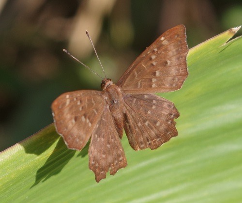 ผีเสื้อบินตลกธรรมดา · Punchinello900 ม. · 900 m
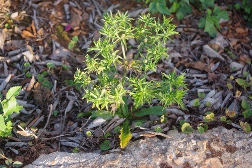 ผักชีฝรั่ง · Mexican Culantro900 ม. · 900 m
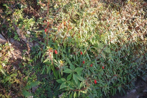 อั่งเปา · Bolivian Sunset900 ม. · 900 m
ภาพ:Photos: bernhard_hiller (CC BY) · ผ่าน iNaturalist · via iNaturalist
- หลงฮักเขา ภูชี้ฟ้า Long Huk Kao Phuchifa · 20 ม. · 20 m
- ภูฟ้าอารีย์ 2 · Phufaari 2 · 80 ม. · 80 m
- ชิวชิวแคมป์ภูชี้ฟ้า Chill Chill Camp · 190 ม. · 190 m
- สายลมแห่งธรรม · Sailom Haeng Tham · 220 ม. · 220 m
- Memory house ภูชี้ฟ้า · 230 ม. · 230 m
- ชื่ออังกฤษ · English name
- Abandoned view point
- ตำบล · อำเภอ · District
- ต.ปอ Tambon Po · อ.เวียงแก่น Amphoe Wiang Kaen
- ความสูงจากระดับน้ำทะเล · Elevation
- 1,283 เมตร · อ่านจากแบบจำลองภูมิประเทศ 2026-08-27 · 1,283 metres · read from the terrain model, 2026-08-27
- แผนที่ · Map
- มดแดง · Mot Dang · OpenStreetMap · Google · Apple · Geo
- รหัสที่ · Place ID
MD-MA09M- ทิศทาง · Bearings
- ห่างหอนาฬิกาเชียงราย 64 กม. ทางตะวันออก · 64 km due east of Chiang Rai Clock Tower
OpenStreetMap · 2026-07-27