Mae Suai Reservoir Viewpoint
เจ้าของที่นี่? ทำเว็บให้ฟรี · Is this your place? Make its page, free →
ห้องน้ำใกล้สุด · Nearest toilet: 🏛 พิพิธภัณฑ์วัดแม่สรวยหลวง · 3.2 กม. ตามถนน · 3.2 km by road · เดิน ~40 นาที · ~40 min walk · ที่อื่นจากตรงนี้ · more from here
ทัวร์และตั๋วเที่ยวเชียงราย · Klook · Chiang Rai tours & tickets · Klook ลิงก์มีค่าตอบแทน: มดแดงได้ค่าแนะนำเมื่อคุณจองผ่านลิงก์นี้ · Paid link: Mot Dang earns a fee if you book.
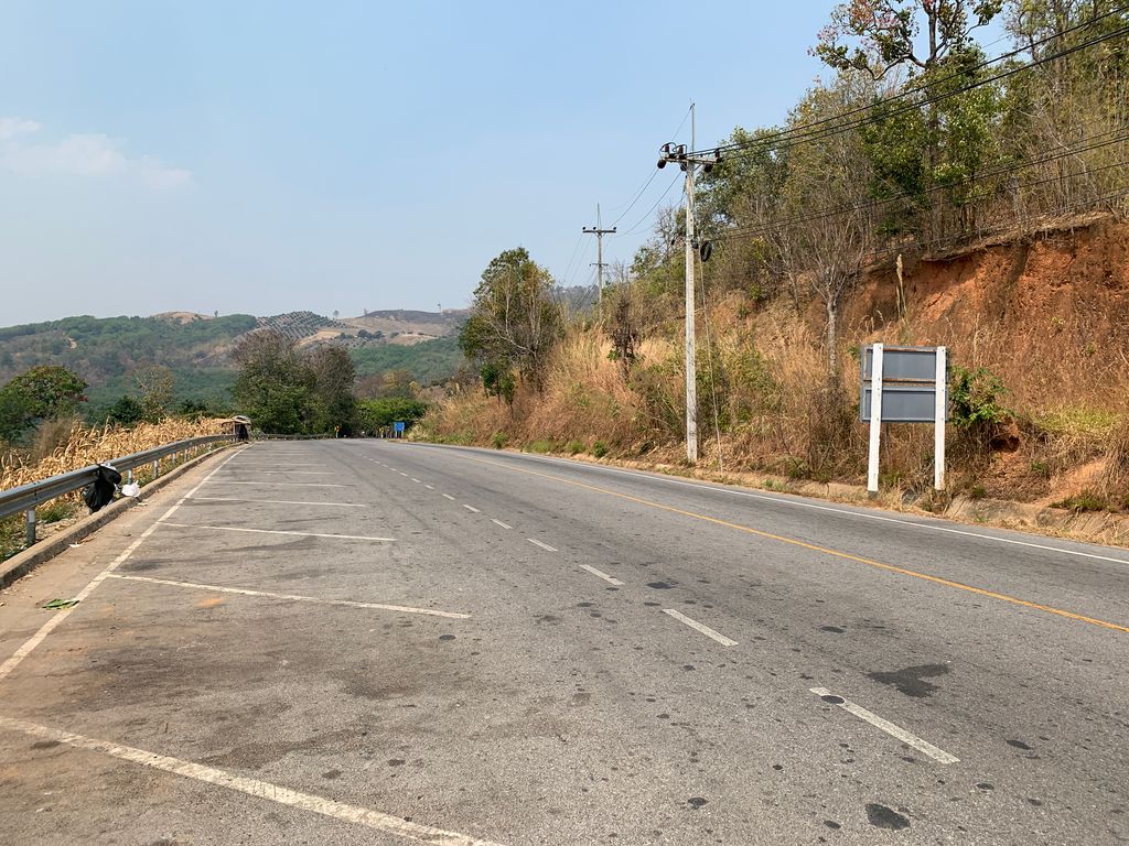
ถ่ายเมื่อ พ.ศ. 2563 (2020) — ตอนนี้หน้าร้านอาจเปลี่ยนไปแล้ว · Taken in 2563 (2020) — the street may have changed since · balthus_mc · CC BY-SA 4.0 · Mapillary
- เมฆมีสีขาว · Mekmisikhao · 250 ม. · 250 m
- ตำบล · อำเภอ · District
- ต.แม่สรวย Tambon Mae Suai · อ.แม่สรวย Amphoe Mae Suai
- หันไปทาง · Faces
- ตะวันตกเฉียงใต้ · south-west (240°)
- ความสูงจากระดับน้ำทะเล · Elevation
- 683 เมตร · อ่านจากแบบจำลองภูมิประเทศ 2026-08-27 · 683 metres · read from the terrain model, 2026-08-27
- เรียกอีกอย่างว่า · Also called
- Mae Suai Reservoir Aussichtspunkt (เยอรมัน · German)
- แผนที่ · Map
- มดแดง · Mot Dang · OpenStreetMap · Google · Apple · Geo
- รหัสที่ · Place ID
MD-3H91G- ทิศทาง · Bearings
- ห่างหอนาฬิกาเชียงราย 39 กม. ทางตะวันตกเฉียงใต้ · 39 km south-west of Chiang Rai Clock Tower
OpenStreetMap · 2026-07-27