วัดพัฒนาตัวย่าง · Wat Phatthana Tua Yang
เจ้าของที่นี่? ทำเว็บให้ฟรี · Is this your place? Make its page, free →
≈
ตำแหน่งโดยประมาณ — วงกลมคือช่วงที่เป็นไปได้ · Approximate position — the circle is the range it could be inที่แบบนี้มักมีห้องน้ำให้ใช้ · Places like this normally have a toilet · ที่อื่นใกล้ ๆ · others nearby
รอบ ๆ ที่นี่ · Around here
 Dried dipli (Thai script: ดีปลี): long pepper/ Piper…400 ม. · 400 m
 Phrik lap (Thai script: พริกลาบ) is the mix of more than…400 ม. · 400 m
 Day 2 Pakbang to Huay Xai, Lao and Thai border.550 ม. · 550 m
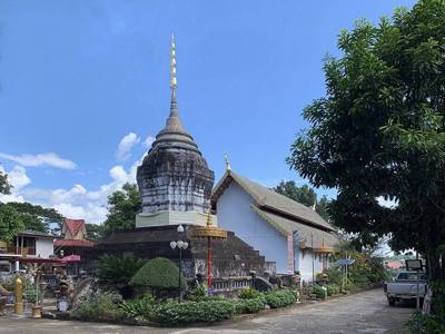 วัดพระแก้ว · Wat Phra Kaeo600 ม. · 600 m
ภาพ:Photos: Takeaway (CC BY-SA 3.0) · Clay Gilliland (CC BY-SA 2.0) · Chainwit. (CC BY-SA 4.0) · ผ่าน Wikimedia Commons · via Wikimedia Commons

ธรรมชาติแถวนี้ · Nature nearby
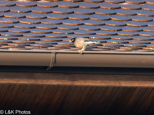 นกเอี้ยงสาริกา · Common Myna200 ม. · 200 m
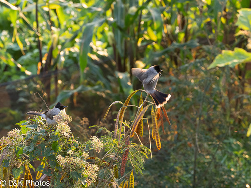 นกปรอดหัวสีเขม่า · Sooty-headed Bulbul200 ม. · 200 m
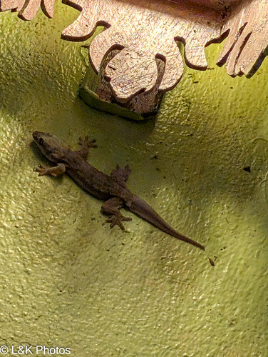 จิ้งจกบ้านหางแบน · Flat-tailed House Gecko200 ม. · 200 m
 ละหุ่ง · castor bean250 ม. · 250 m
ภาพ:Photos: lallen (CC0) · ผ่าน iNaturalist · via iNaturalist
- ศูนย์ดำรงธรรมอำเภอเชียงของ · Damrong Tham Amphoe Chiang Khong Centre · 30 ม. · 30 m
- ที่ว่าการอำเภอเชียงของ จังหวัดเชียงราย · Chiang Khong Changwat Chiang Rai District office · 40 ม. · 40 m
- Siam Commercial Bank · 50 ม. · 50 m
- โรงเรียนโสภณจริยธรรมวิทยา · Sopna Chariitham Witthaya School · 50 ม. · 50 m
- สถานีตำรวจภูธรเชียงของ ภ.จว.เชียงราย · Chiang Khong Pha.cho.Chiang Rai Provincial police station · 60 ม. · 60 m
- ชื่ออังกฤษ · English name
- Wat Phatthana Tua Yang
- ตำบล · อำเภอ · District
- ต.เวียง Tambon Wiang · อ.เชียงของ Amphoe Chiang Khong
- นิกาย · Nikaya
- unknown
- แผนที่ · Map
- มดแดง · Mot Dang · OpenStreetMap · Google · Apple · Geo
- รหัสที่ · Place ID
MD-89DT8- ทิศทาง · Bearings
- ห่างหอนาฬิกาเชียงราย 72 กม. ทางตะวันออกเฉียงเหนือ · 72 km north-east of Chiang Rai Clock Tower
อ่านต่อที่อื่น · Read more elsewhere
OpenStreetMap · 2026-07-21