ดอยสุเทพ · Doi Suthep
เจ้าของที่นี่? ทำเว็บให้ฟรี · Is this your place? Make its page, free →
ห้องน้ำใกล้สุด · Nearest toilet: วัดพระธาตุดอยสุเทพ · wat Phrathat Doi Suthep Racha Worawihan · 50 ม. ตามถนน · 50 m by road · เดิน ~1 นาที · ~1 min walk · ที่อื่นจากตรงนี้ · more from here
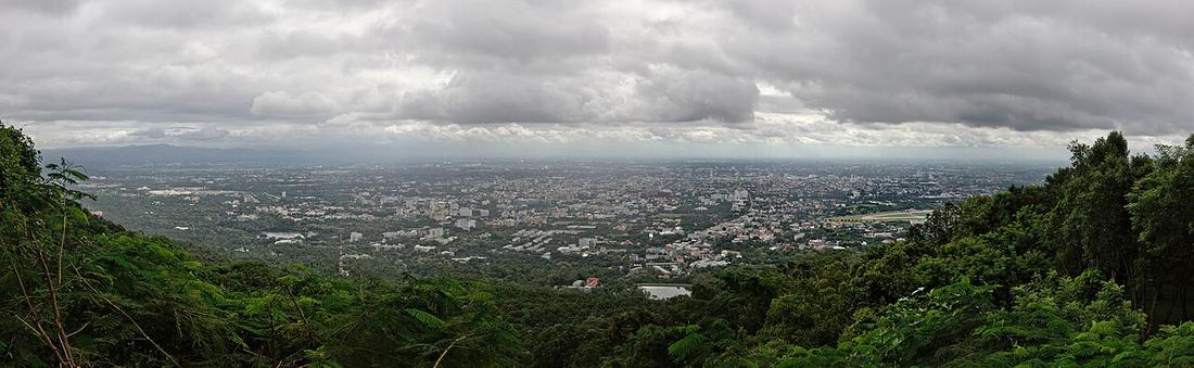
ถ่ายเมื่อ พ.ศ. 2558 (2015) — ตอนนี้หน้าร้านอาจเปลี่ยนไปแล้ว · Taken in 2558 (2015) — the street may have changed since · jrcarlsen · CC BY-SA 4.0 · Mapillary

รอบ ๆ ที่นี่ · Around here
 Chiang Mai, Thailand: A buddhist monk and his novices…ที่นี่ · here
 Chiang Mai, Thailand: A family praying in Wat Phra That…ที่นี่ · here
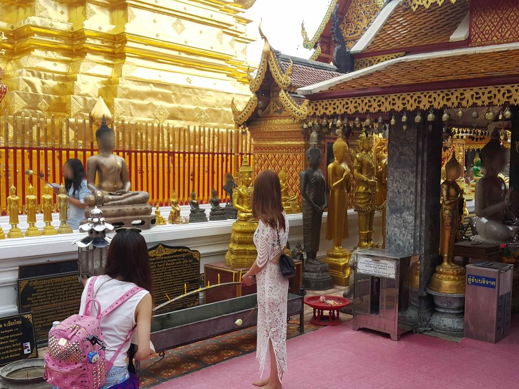
 Statues of the Buddha at Wat Phra That Doi Suthep in…ที่นี่ · here
 Stairs to Wat Phra That Doi Suthep in Chiang Mai.ที่นี่ · here
 Doi Sutep Starirs150 ม. · 150 m
ภาพ:Photos: CEphoto, Uwe Aranas (CC BY-SA 4.0) · Christophe95 (CC BY-SA 4.0) · ekeidar (CC BY-SA 3.0) · ผ่าน Wikimedia Commons · via Wikimedia Commons
ธรรมชาติแถวนี้ · Nature nearby
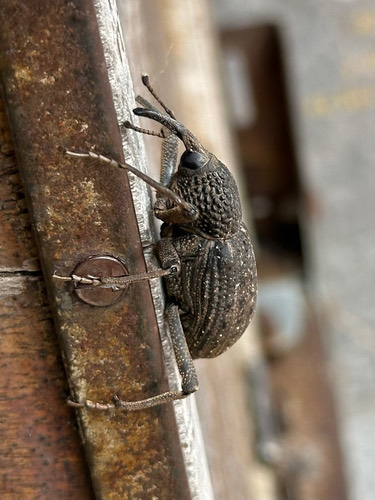 Sipalinus gigas50 ม. · 50 m
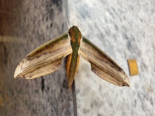 ผีเสื้อเหยี่ยวบอนยักษ์ · Yam Hawkmoth50 ม. · 50 m
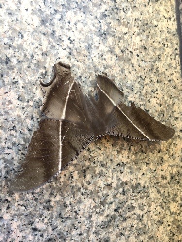 มอธค้างคาว · Tropical Swallowtail Moth50 ม. · 50 m
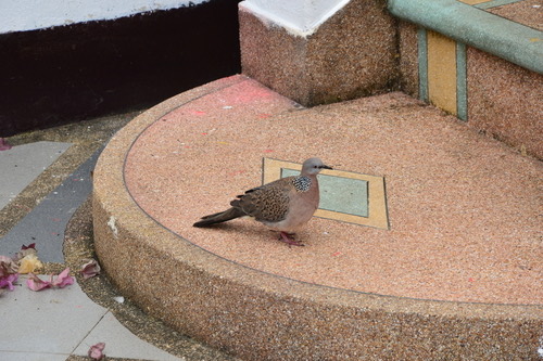 นกเขาใหญ่ · Spotted Dove50 ม. · 50 m
ภาพ:Photos: Bell James (CC BY-SA) · Jody Shugart (CC BY) · Matt Berger (CC BY) · Donald Davesne (CC BY) · ผ่าน iNaturalist · via iNaturalist
ประวัติ · History
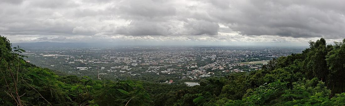
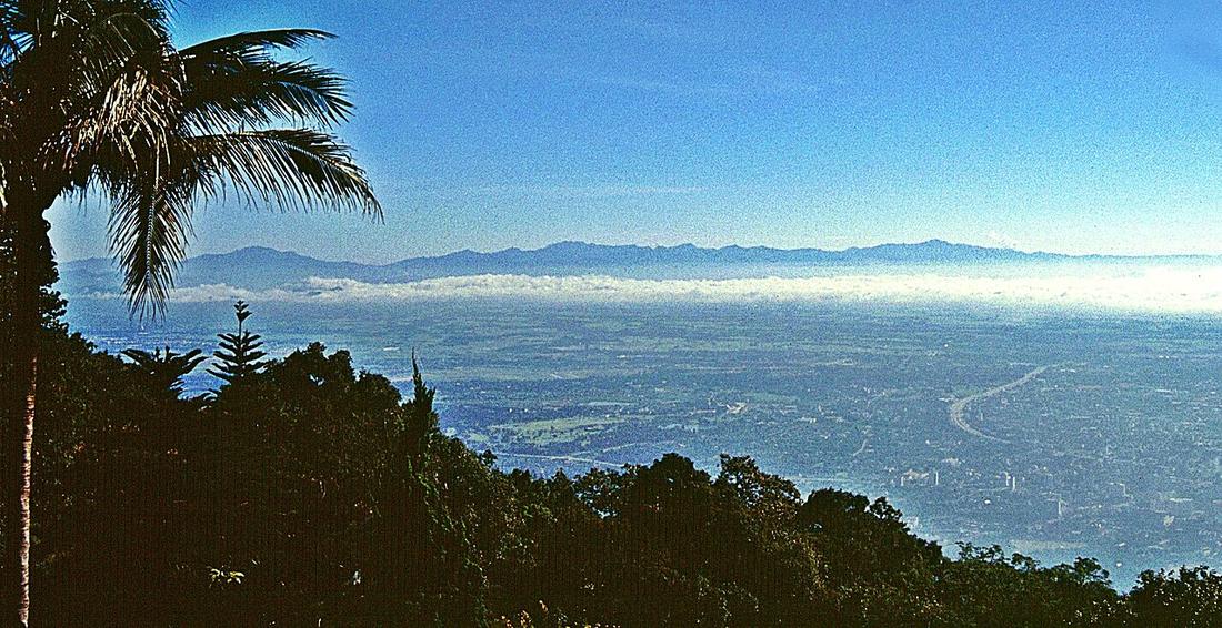
ดอยทางตะวันตกของเมือง สูง 1,676 เมตร มีวัดอยู่สองในสามของทางขึ้น ถนนห้วยแก้วแล้วต่อด้วยถนนครูบาปี 2478 ไต่ขึ้นไป น้ำคูเมืองไหลลงมาจากมัน และถนนวงแหวนด้านตะวันตกวิ่งเลียบตีนดอยบนคลองชลประทาน · The mountain west of the city, 1,676 m, with the temple two-thirds of the way up. Huay Kaew Road and then the monk's road of 1935 climb it; the moat's water comes down from it; and the western ring road runs along its foot on the irrigation canal.
อนุมาน — แผนทางยกระดับบนทางหลวง 121 ปี 2568 ถูกคัดค้านส่วนหนึ่งเพราะอาจบังวิวดอยจากที่ราบ ถนนในเมืองนี้ถูกตัดสินด้วยว่ายังเห็นดอยข้ามมันได้ก่ออยู่ · Inference — the 2025 plan for an elevated road on Route 121 was argued against partly because it might block the view of this mountain from the plain. A road in this city is judged by whether you can still see the mountain over it.
- วัดพระธาตุดอยสุเทพ · wat Phrathat Doi Suthep Racha Worawihan · 40 ม. · 40 m
- สยามสุกี้ เชียงใหม่ · Sayamsuki Chiang Mai · 50 ม. · 50 m
- SUSHI ichiban · 60 ม. · 60 m
- วัดพระธาตุดอยสุเทพฯ · Wat Phrathat Doi Suthep · 70 ม. · 70 m
- หมู่บ้านชาวเขา ดอยปุย · Chaokhao Doi Pui Village · 80 ม. · 80 m
- ชื่ออังกฤษ · English name
- Doi Suthep
- ตำบล · อำเภอ · District
- ต.ช้างเผือก Tambon Chang Phueak · อ.เมืองเชียงใหม่ Amphoe Mueang Chiang Mai
- แผนที่ · Map
- มดแดง · Mot Dang · OpenStreetMap · Google · Apple · Geo
- รหัสที่ · Place ID
MD-AK4YJ- ทิศทาง · Bearings
- ในบริเวณวัดพระธาตุดอยสุเทพ · in the grounds of Wat Phra That Doi Suthep
ห่างประตูท่าแพ 7.8 กม. ทางตะวันตก · 7.8 km west of Tha Phae Gate
ย่านแม่แตง-เชียงดาว · Mae Taeng & Chiang Dao
อ่านต่อที่อื่น · Read more elsewhere

Roads of Chiang Mai · 2026-09-21