placeDoi Suthep
ดอยสุเทพ · Doi Suthep
The mountain the roads point at.
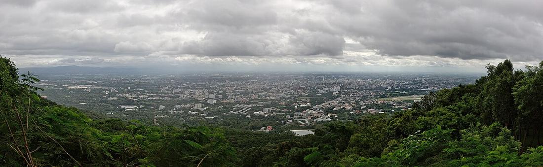 Pratyeka · CC BY-SA 4.0
18.8048, 98.9217 · OpenStreetMap · The map
What it is
The mountain west of the city, 1,676 m, with the temple two-thirds of the way up. Huay Kaew Road and then the monk's road of 1935 climb it; the moat's water comes down from it; and the western ring road runs along its foot on the irrigation canal.
The long version
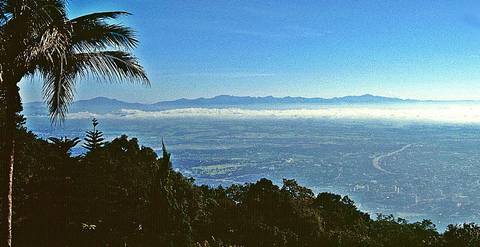
Inference — the 2025 plan for an elevated road on Route 121 was argued against partly because it might block the view of this mountain from the plain. A road in this city is judged by whether you can still see the mountain over it.

Connected to
- Si Wichai Road, the road up Doi Suthep The road up it.
- An elevated road on the outer ring, Don Kaew to Mueang Kaew The plan judged against its view.
Named here by
- Si Wichai Road, the road up Doi Suthep The mountain.
- Ring 3, Route 121 What its west side runs under.
- An elevated road on the outer ring, Don Kaew to Mueang Kaew What it might hide.
Where each claim comes from
| Field | Tier | Source | Note |
|---|---|---|---|
| default | cited | Doi Suthep — Wikipedia (en) | |
| text_th | inference | written in Thai by this project, in the northern register where it fits; not machine-translated |
Sources
- Doi Suthep — Wikipedia (en)
- Big development project heading our way — elevated road on Route 121 — Chiang Mai Citylife
cited Cited — a named source, linked · harvested Harvested — fetched from an open dataset, with its licence · tradition Tradition — general knowledge of the tradition, hedged · inference Inference — this project's own reasoning from the above · field Field — someone stood there