กำแพงดิน · Kamphaeng Din, the earthen wall
เจ้าของที่นี่? ทำเว็บให้ฟรี · Is this your place? Make its page, free →
≈
ตำแหน่งโดยประมาณ — วงกลมคือช่วงที่เป็นไปได้ · Approximate position — the circle is the range it could be inห้องน้ำใกล้สุด · Nearest toilet: วัดช่างฆ้อง · Wat Chang Kong · 180 ม. ตามถนน · 180 m by road · เดิน ~2 นาที · ~2 min walk · ที่อื่นจากตรงนี้ · more from here
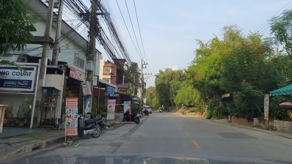
ถ่ายเมื่อ พ.ศ. 2564 (2021) — ตอนนี้หน้าร้านอาจเปลี่ยนไปแล้ว · Taken in 2564 (2021) — the street may have changed since · jrcarlsen · CC BY-SA 4.0 · Mapillary
รอบ ๆ ที่นี่ · Around here
 Looking over the Chiang Mai city area and Doi Suthep…50 ม. · 50 m
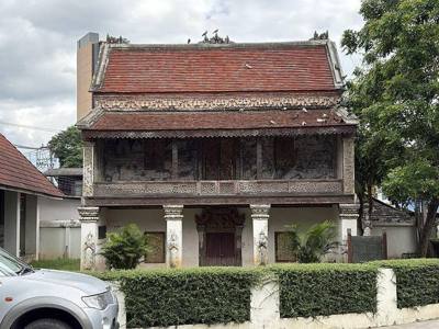 วัดช่างฆ้อง · Wat Chang Kong100 ม. · 100 m
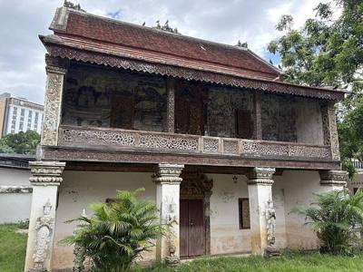 วัดช่างฆ้อง · Wat Chang Kong100 ม. · 100 m
 {{Chang Khlan, Mueang Chiang Mai District, Chiang Mai…200 ม. · 200 m
ภาพ:Photos: Blowing Puffer Fish (CC BY 2.0) · Chainwit. (CC BY 4.0) · mohigan (CC BY-SA 3.0) · ผ่าน Wikimedia Commons · via Wikimedia Commons

ธรรมชาติแถวนี้ · Nature nearby
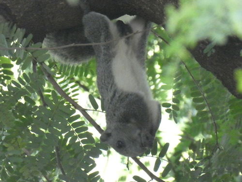 กระรอกหลากสี · Variable Squirrel150 ม. · 150 m
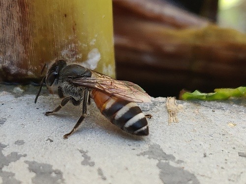 ผึ้งมิ้ม · Red Dwarf Honey Bee250 ม. · 250 m
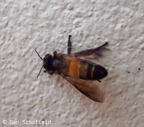 ผึ้งหลวง · Giant Honey Bee300 ม. · 300 m
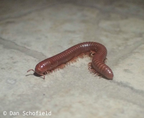 กิ้งกือแดงเล็ก · Rusty Millipede300 ม. · 300 m
ภาพ:Photos: datadan (CC BY) · Shahar "Dawn" Or (CC0) · Dan Schofield (CC BY) · ผ่าน iNaturalist · via iNaturalist
ประวัติ · History
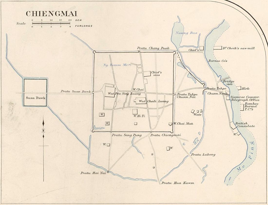
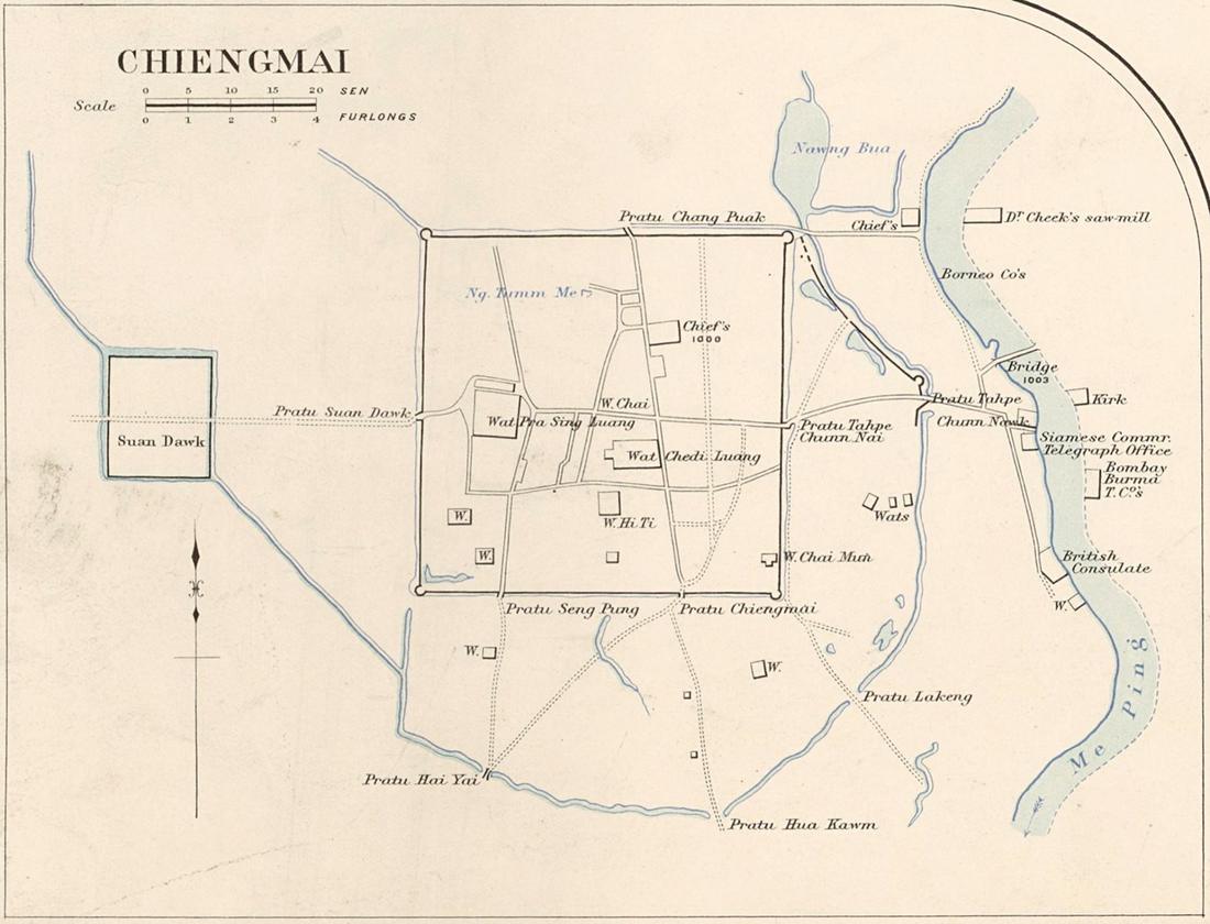
กำแพงดินชั้นนอกรูปครึ่งวงกลม วิ่งจากแจ่งศรีภูมิอ้อมด้านตะวันออกและเลียบด้านใต้ไปแจ่งกู่เฮือง ล้อมย่านค้าขายระหว่างเวียงกับแม่น้ำ ไม่มีวันที่แน่ชัด สันนิษฐานว่าสมัยพญามังราย พบอิฐใต้คันดินช่วงตะวันตกเฉียงใต้ เหลือบางส่วนข้างไนท์บาซาร์ ตี้ถนนกำแพงดินวิ่งบนแนวเดิม · A semicircular outer rampart of earth, running from Si Phum Corner round the east side and along the south to Ku Hueang Corner, enclosing the trading quarter between the square and the river. No firm date; presumed Mangrai's era. Brick was found under the bank on the southwest stretch. Parts survive beside the Night Bazaar, where Kamphaeng Din Road runs on its line.
อนุมาน — กำแพงดินคือเหตุที่เมืองบ่ใช่สี่เหลี่ยม ถนนระหว่างท่าแพกับช้างคลานโค้ง เพราะมันเดินตามเส้นโค้งที่ถูกรื้อไปแล้ว ความยาวเป็นกิโลเมตรบ่มีในแผ่นนี้ · Inference — the earthen wall is the reason the city is not a square: the streets between Tha Phae and Chang Klan bend, because they follow a curve that has been demolished. The length in kilometres is not on this disk.
- C.U. Bar · 30 ม. · 30 m
- A and A Traditional Thai Massage · 30 ม. · 30 m
- Home Salon by Kreateme+ · 30 ม. · 30 m
- อาคารจอดรถ · ใกล้ประตูท่าแพ 690 ม. · Multi-storey car park · 690 m from Tha Phae Gate · 40 ม. · 40 m
- อาหารตามสั่ง · Ahantamsang · 40 ม. · 40 m
- ชื่ออังกฤษ · English name
- Kamphaeng Din, the earthen wall
- ที่อยู่ · Address
- 3 ถนน กําแพงดิน Thanon Kaphaengdin
- ตำบล · อำเภอ · District
- ต.ช้างคลาน Tambon Chang Khlan · อ.เมืองเชียงใหม่ Amphoe Mueang Chiang Mai
- แผนที่ · Map
- มดแดง · Mot Dang · OpenStreetMap · Google · Apple · Geo (โดยประมาณ) · (approximate)
- รหัสที่ · Place ID
MD-TG62K- ทิศทาง · Bearings
- ห่างประตูท่าแพราว 1 กม. ทางตะวันออกเฉียงใต้ (โดยประมาณ) · about 1 km south-east of Tha Phae Gate (approximate)
ย่านช้างคลาน-ไนท์บาซาร์ · Chang Khlan & the Night Bazaar
หมุด ±1,000 ม. · pin ±1,000 m
อ่านต่อที่อื่น · Read more elsewhere
Roads of Chiang Mai · 2026-09-21