Maesa Greenery Hill
ห้องน้ำใกล้สุด · Nearest toilet: วัดบ้านโห้ง · 90 ม. ตามถนน · 90 m by road · เดิน ~1 นาที · ~1 min walk · ที่อื่นจากตรงนี้ · more from here
รถรับส่งสนามบิน · Kiwitaxi · Airport transfer · Kiwitaxi · ฝากกระเป๋า · Radical Storage · Luggage storage · Radical Storage · eSIM ไทย · Airalo · Thailand eSIM · Airalo ลิงก์มีค่าตอบแทน: มดแดงได้ค่าแนะนำเมื่อคุณจองผ่านลิงก์เหล่านี้ · Paid links: Mot Dang earns a fee if you book.
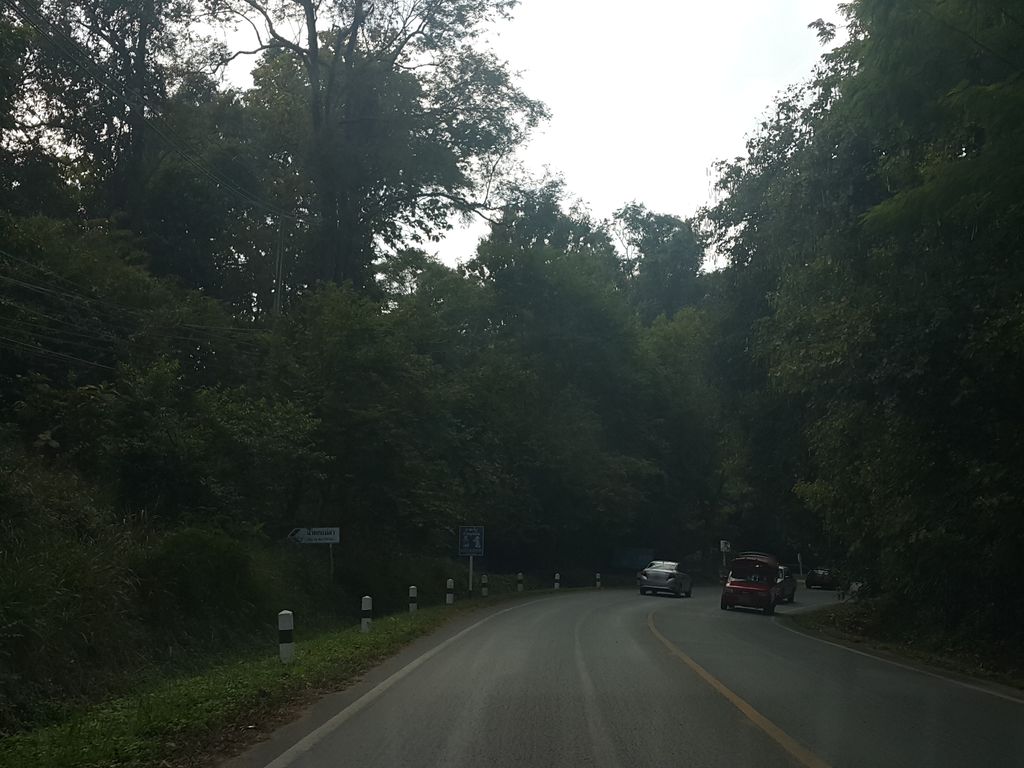
ถ่ายเมื่อ พ.ศ. 2558 (2015) — ตอนนี้หน้าร้านอาจเปลี่ยนไปแล้ว · Taken in 2558 (2015) — the street may have changed since · jrcarlsen · CC BY-SA 4.0 · Mapillary
รอบ ๆ ที่นี่ · Around here

ภาพ:Photos: jon collier from waltham, ma, usa (CC BY-SA 2.0) · ผ่าน Wikimedia Commons · via Wikimedia Commons
ธรรมชาติแถวนี้ · Nature nearby
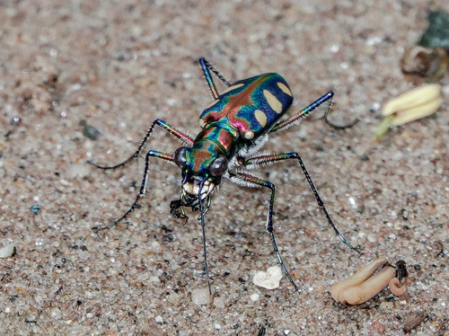 ด้วงเสือสามจุดเหลืองธรรมดา · Golden-spotted Tiger Beetle700 ม. · 700 m
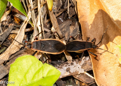 Iphita limbata750 ม. · 750 m
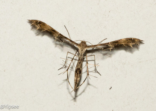 Fire-flag Plume Moth750 ม. · 750 m
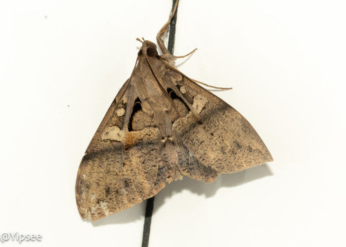 Ischyja inferna750 ม. · 750 m
ภาพ:Photos: Sevin Dee (CC BY) · yipsee (CC0) · ผ่าน iNaturalist · via iNaturalist
ที่พัก · Stay
- คูเมือง 19.5 กม. · Old city 19.5 km
จอง · Booking
- เว็บของโรงแรม · Hotel's own site: book-directonline.com
ระยะทางตามถนน · By road
- ประตูช้างเผือก · Chang Phueak Gate · 19.5 กม. · 19.5 km
- ท่าอากาศยานเชียงใหม่ (CNX) · Chiang Mai Airport (CNX) · 24.5 กม. · 24.5 km
- วันนิมมาน · One Nimman · 19.3 กม. · 19.3 km
- สถานีขนส่งอาเขต · Arcade Bus Terminal · 21.4 กม. · 21.4 km
ใกล้สุดตามถนน · Nearest by road
- เซเว่น · 7-Eleven: 7-Eleven · 2.3 กม. · 2.3 km · เดิน ~29 นาที · ~29 min walk
- ร้านขายยา · Pharmacy: Home Pharmacy · 2.3 กม. · 2.3 km · เดิน ~29 นาที · ~29 min walk
- โรงพยาบาล · Hospital: คลินิกทันตกรรม โรงพยาบาลแม่แตง จ.เชียงใหม่ · Thantakrarom Rongphayaban Mae Taeng Cha.Chiang Mai Clinic · 5.3 กม. · 5.3 km
น้ำ · Water
- น้ำแม่สา Nam Mae Sa · 70 ม. จากหมุด · 70 m from the pin · ระดับน้ำปิง · Ping river level · น้ำท่วม · Flood
รอบ ๆ ที่พัก · Around it เดินตามถนน · on foot, by road
คาเฟ่ · Cafés (3)
- Between Cafe · 50 ม. · 50 m
- Fleur Café & Eatery · 650 ม. · 650 m
- Fleur Cafe and Eatery · 650 ม. · 650 m
ต.แม่แรม · Mae Raem (subdistrict) อ.แม่ริม · Mae Rim (district) 🏞 ริมน้ำ · Riverside โรงแรม · Hotels
- Between Cafe · 10 ม. · 10 m
- ร้านโฮมฟาร์มาซี · Ran Home Pharmacy · 50 ม. · 50 m
- วัดบ้านโห้ง · Wat Ban Hong · 50 ม. · 50 m
- วัดคีรีบรรพต · Wat Khiribraraphot · 50 ม. · 50 m
- วัดน้ำตกแม่สา · Wat Nam Tok Mae Sa · 50 ม. · 50 m
- ตำบล · อำเภอ · District
- ต.แม่แรม Tambon Mae Raem · อ.แม่ริม Amphoe Mae Rim
- แผนที่ · Map
- มดแดง · Mot Dang · OpenStreetMap · Google · Apple · Geo
- รหัสที่ · Place ID
MD-VQ6K9- ทิศทาง · Bearings
- ห่างประตูท่าแพ 16.3 กม. ทางตะวันตกเฉียงเหนือ · 16.3 km north-west of Tha Phae Gate
ย่านแม่ริม · Mae Rim
ชื่อ-ที่อยู่ Overture Maps · CDLA-Permissive-2.0 · Name & address Overture Maps · CDLA-Permissive-2.0 · 2026-10-20