WatsWat Phra That Mae Yen
วัดพระธาตุแม่เย็น
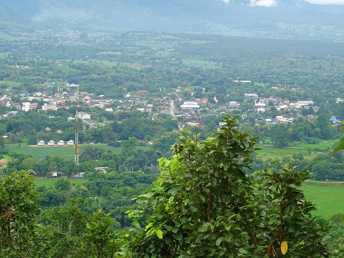
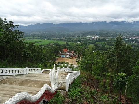
Three hundred and fifty-odd steps, a large white Buddha, and the whole Pai valley underneath it.
 Christophe95 · CC BY-SA 4.0
What it is
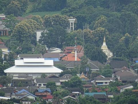
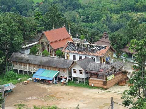
On the hill east of Pai. The seated white image is visible from most of the town, and the climb is the reason people go.
The long version
Inference — the useful thing about this one is the timing. It faces west over the valley, which makes it a sunset rather than a sunrise, and it is close enough to town that it works on the evening you arrive rather than needing its own morning.
There is a road up as well as the steps. On a small bike take the road; the steps are the point only if you want them to be.
This is a Lanna-named temple — Phra That, a relic stupa — in a town that sits on the Shan side of the province, which is a reminder that the naming pattern further west is a tendency and not a rule. Pai has none of the Chong names at all.
Runs with
- townPai — The town below it.
- watWhy the temples here are called Chong — The pattern this one is an exception to.
- stopPai Canyon — The other sunset, ten minutes the other way.
Where each claim comes from
| Field | Tier | Source | Note |
|---|---|---|---|
| default | tradition | ||
| text_th | inference | written in Thai by this project, not machine-translated |
Sources
- Pai, Thailand — Wikipedia (en)
- Pai district — Wikipedia (en)
- OpenStreetMap — OpenStreetMap contributors
cited Cited — a named source, linked · harvested Harvested — fetched from an open dataset, with its licence · tradition Tradition — general knowledge of the tradition, hedged · inference Inference — this project's own reasoning from the above · field Field — someone stood there