The moat loop
Hartmann Linge · CC BY-SA 4.0ถนนรอบคูเมือง
The pair of one-way roads on the two banks of the moat: the outer bank runs clockwise, the inner counter-clockwise, so that the square is a…
The square of 1296, four rings around it, 6,934 km of road between, and what each one did to the city. Counted from the map, dated from the record.
6.54 km of moat, five gates, four corners, two one-way loops. The old city is the ruler everything on this site is measured against.
The old city, measured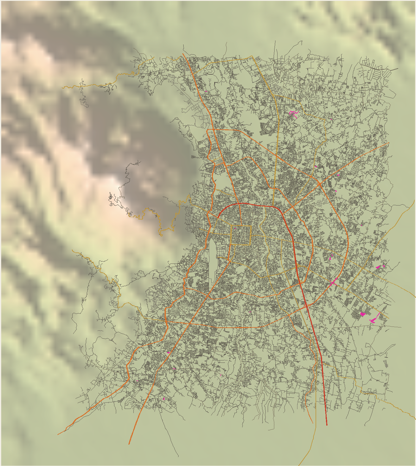
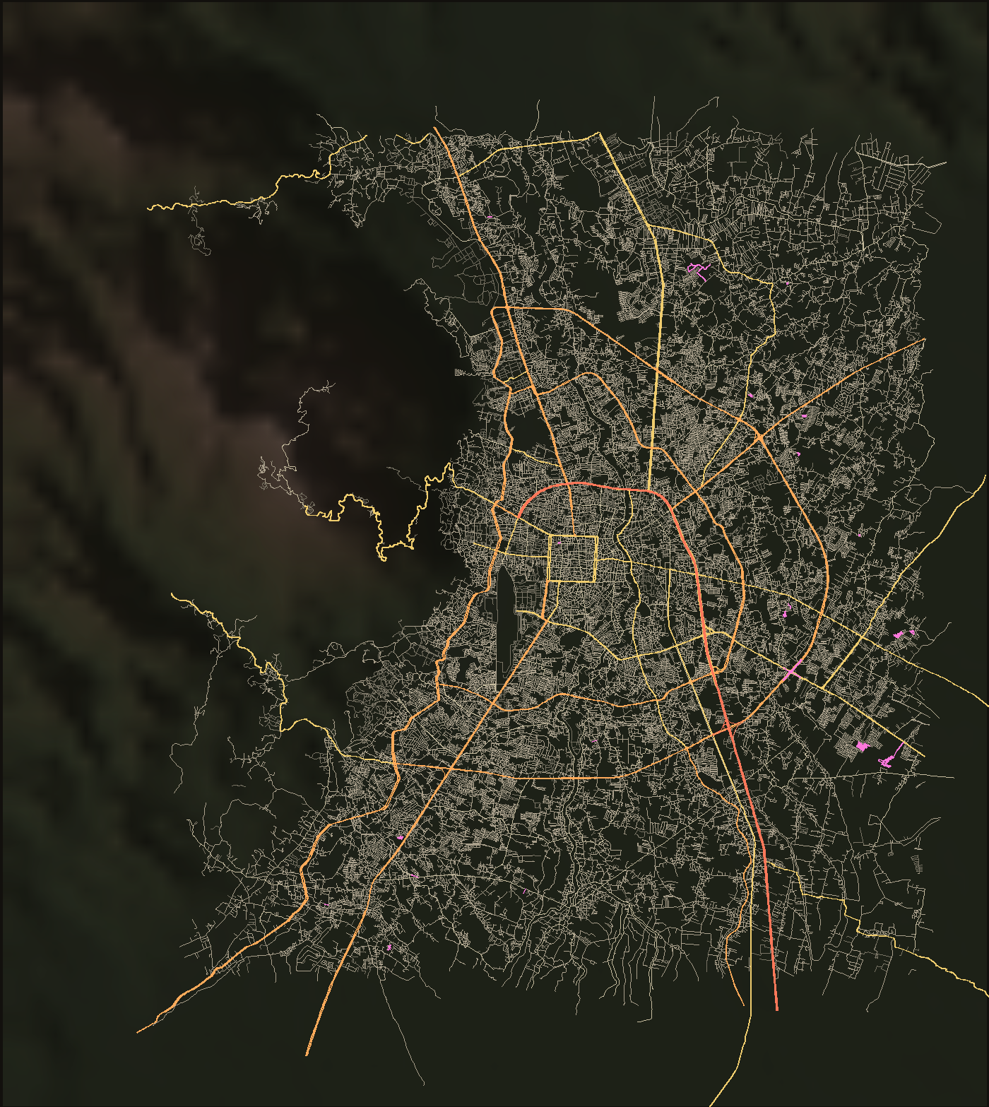
0.67grid score, inside the moat (1 = perfect grid)
Grid score inside the moat 0.67, outer ring 0.07. Intersections per km²: 135 inside, 58 out at the third ring. Dead ends: 14% of lane ends inside, 35% out there.
What a road does to an old cityถนนรอบคูเมือง
The pair of one-way roads on the two banks of the moat: the outer bank runs clockwise, the inner counter-clockwise, so that the square is a…
วงแหวนรอบที่ 1
The ring about 3 km out: the last ten kilometres of Route 11, the Superhighway, on the north and east; Mahidol Road, Route 1141, on the south…
วงแหวนรอบกลาง — ถนนสมโภชเชียงใหม่ 700 ปี
The middle ring, about 5 km out, named for the city's 700th anniversary of 1996. Laid out in the first comprehensive plan of 1984 and fixed by…
วงแหวนรอบนอก — ทางหลวง 121
The outer ring, about 9 km out: a 52.957 km closed loop through Hang Dong, Saraphi, San Kamphaeng, Doi Saket, San Sai and Mae Rim, crossing the Ping…
ฮ่อม
The lanes between houses: residential streets, living streets and service lanes in OpenStreetMap's terms; hom in Kam Mueang, soi on the postal…
ถนนท่าแพ
From the Nawarat Bridge past Wat Upakut to Tha Phae Gate, about a kilometre, on the east–west axis laid out at the founding. The land outside the…
ถนนนิมมานเหมินท์
1.327 km between Huay Kaew and Suthep roads, on the edge of the land Ki and Kim Ho Nimmanhaemin gave for the university in 1963. It was later…
ถนนศรีวิชัย
The upper half of Route 1004, from the Kruba Srivichai monument at the foot of the mountain to Wat Phra That Doi Suthep. Ground broken 9 November…
The highway department counts at 81 stations in the province and leaves the motorcycle out of the headline. Deaths: 558 in 2024, four in five on a motorcycle.
TrafficThe named streets of the city, from Tha Phae to the airport road. What each is for, what it was before, and what it carries.
The moat loop and the three ring roads around it. Each one a decision about where the city ends.
The hom and the soi. Where the city is lived rather than driven through.
Five gates, four corners. Where the roads of 1296 still meet the roads of now.
The named intersections, underpasses and flyovers. Each one a place the city argued about.
Every road crossing of the Ping, counted from the map, and the ones with a story.
The numbered roads to Lampang, Lamphun, Chiang Rai, Mae Hong Son, Fang and Bangkok.
What is proposed, funded, under construction, or quietly shelved. Status and date on each.
Seven chapters of road-building, 1296 to now, and what each one did to the city.
What the city looked like on paper, 1693 to 1959, and what each sheet shows about the roads that were there.
What the network shows when it is counted: grid, dead ends, block length, and where the rings cut.
Counts, registrations, deaths, and the songthaew. Each with its year and its source.
The road words of Kam Mueang, the northern speech: hom, khua, chaeng, kat. Script, sound, root.
The long reads: what a road does to an old city, why the moat runs one way, what the trees on the Lamphun road are for.
The king who drew the square, the monk who built the mountain road, the family that gave a street its name.
The moat, the river, the mountain, the airport, the station: the things the roads go around.
The yang-na on the Lamphun road were planted in 1882 for an emperor's commissioner. They are alive because the Superhighway took the Bangkok traffic off them in 1969.
The trees11.53km
The only road in the catalogue built by a congregation. Sixty-seven metres of mountain road a day.
The monk's roadThe founders built a kilometre from the bank because of exactly this. The square stayed dry.
The flood, as a list of roads1693the oldest sheet
The 1931 city map labels the moat KOO VIENG CANAL and names a gate after a short bridge. The 1945 sheet was compiled from air photographs taken that March.
The old maps