เมืองและหมู่บ้านสบป่อง
ทางแยก อำเภอถ้ำ และจุดพักที่เงียบที่สุดที่ยังใช้ประโยชน์ได้บนช่วงเหนือ
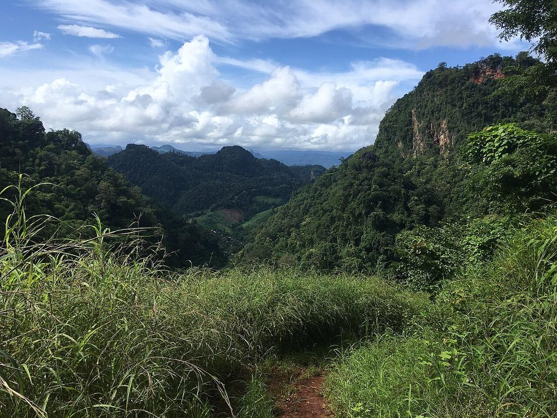 Christophe95 · CC BY-SA 4.0
คืออะไร
ชุมชนหลักของอำเภอปางมะผ้า อยู่ในเขตภูเขาหินปูน ชื่อทางการคือปางมะผ้า แต่บนป้ายและในทุกบทสนทนาเรียกสบป่อง
ฉบับยาว
อำเภอปางมะผ้าเป็นหินปูน และหินปูนที่นี่แปลว่าถ้ำ อำเภอนี้มีถ้ำจำนวนมาก รวมถึงถ้ำลอดที่มีลำน้ำไหลผ่าน
อนุมาน — สำหรับคนขี่รถ สบป่องคือคำตอบของปัญหาเฉพาะอย่างหนึ่ง ระยะปายถึงแม่ฮ่องสอนยาวเกินกว่าจะเป็นครึ่งวันที่ดี และสั้นเกินกว่าจะเป็นเต็มวันที่คุ้ม และสบป่องอยู่ตรงกลางพอดี การพักที่นี่แทนที่จะฝืนไปต่อ ทำให้ได้ถ้ำในแสงเช้า และเอาทางลงที่ยากที่สุดออกจากปลายวันที่ยาว
ตอนนี้
น้ำมัน อาหาร เกสต์เฮาส์ไม่กี่แห่ง และไม่มีอะไรมากกว่านั้น ให้ถือว่าปั๊มที่นี่คือปั๊มสุดท้ายที่แน่นอนก่อนถึงแม่ฮ่องสอน
เกี่ยวข้องกับ
- stopถ้ำลอด — The cave the district is known for.
- legปาย – สบป่อง — The way in.
- legสบป่อง – แม่ฮ่องสอน — The way on, and the hardest descent of the northern leg.
ถูกอ้างถึงโดย
- legปาย – สบป่อง — The town at the end.
- stopถนนคนเดินปาย — The opposite of all of this, forty minutes on.
- stopถ้ำลอด — The town it belongs to.
- stayควรนอนที่ไหนบ้าง — The stop that shortens the hardest day.
แต่ละข้อความมาจากไหน
| Field | Tier | Source | Note |
|---|---|---|---|
| default | cited | Pang Mapha district — Wikipedia (en) | |
| text.story | inference | the riding conclusions are this project's; the geography and history under them are cited | |
| text.today | inference | ||
| text_th | inference | written in Thai by this project, not machine-translated |
แหล่งอ้างอิง
- Pang Mapha district — Wikipedia (en)
- Tham Lot cave — Wikipedia (en)
cited Cited — a named source, linked · harvested Harvested — fetched from an open dataset, with its licence · tradition Tradition — general knowledge of the tradition, hedged · inference Inference — this project's own reasoning from the above · field Field — someone stood there