TownsChiang Mai
เชียงใหม่ · Chiang Mai
Where the bike comes from and where the bag stays.
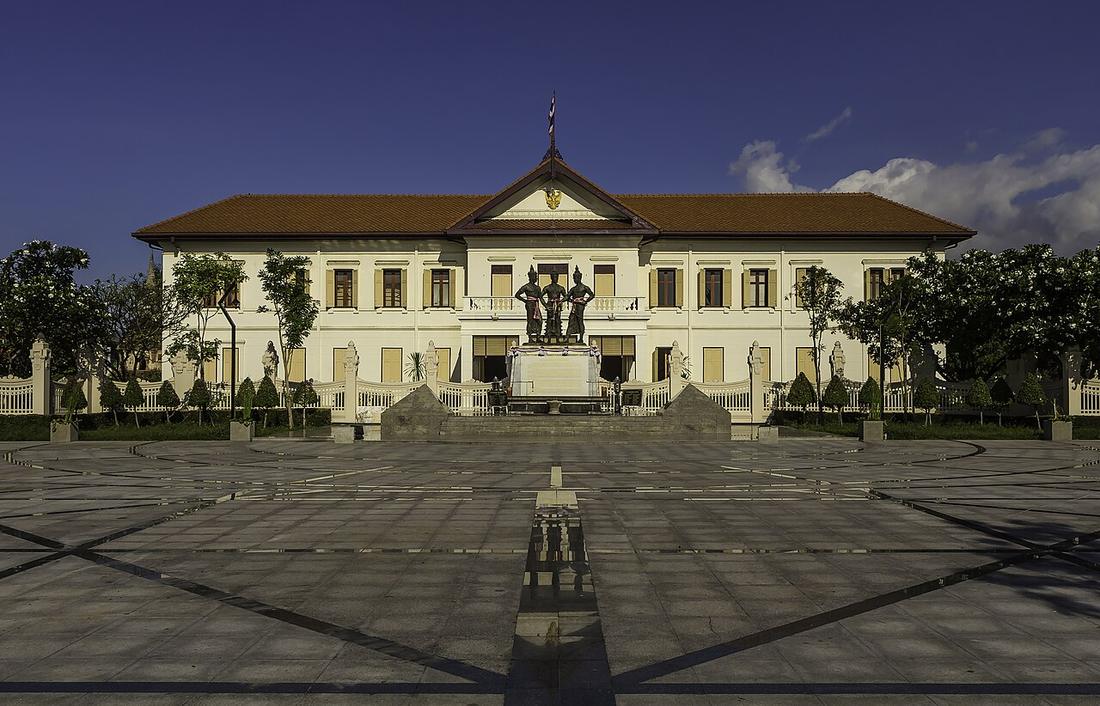 Stefan Fussan · CC BY-SA 3.0
What it is
The start and the finish. Both roads out of it — 107 to the north, 108 to the south — are the loop's two ends.
The long version
Inference — on a page about the loop, Chiang Mai is rental, spares, helmet shops, and the place the suitcase sits for four days.
One measured fact: across four burning seasons Chiang Mai's March mean PM2.5 is 37.8 µg/m³, higher than any town on the circuit. The air improves as you leave.
Now
Everything the rest of the circuit does not have: tyres in stock, a dealer for most brands, and a hospital that does not need a transfer.
Stay 24
- 1 Arte House guesthouse1.2 km by road17 rental shops within 300 m +6653289569 map on Mot Dang
- 2 Amora Chiang Mai hotel1.2 km by road17 rental shops within 300 m own site +66 53 251 531 Facebook map on Mot Dang
- 3 Haihostel โรงแรมอโมรา ท่าแพ hostel1.2 km by road17 rental shops within 300 m own site +6653251531 Facebook map on Mot Dang
- 4 วิลล่า ดวงจำปา hotel0.7 km by road16 rental shops within 300 m own site +6653327198 Facebook map on Mot Dang
- 5 A.N. House guesthouse0.9 km by road16 rental shops within 300 m +66 81-885-7168 map on Mot Dang
- 6 Chada Mantra hotel1.0 km by road16 rental shops within 300 m own site +66969847578 Facebook map on Mot Dang
From Mot Dang's Chiang Mai records: beds pinned within 1.5 km of the old city with a phone or site of their own, the ones with the most scooter and car rental shops within 300 m first. Distance runs over OpenStreetMap streets from the old city's centre point.
Runs with
- kitRenting the bike — The transaction that starts the trip.
- kitSending the bag ahead — Where the bag stays instead.
- storyThe smoke — The dirtiest air on the route is here.
- legHot to Chiang Mai — The way back in.
Named here by
- legHot to Chiang Mai — Home.
- kitRenting the bike — Where the transaction happens.
- storyThe smoke — The dirtiest air on the route, and where you start.
Where each claim comes from
| Field | Tier | Source | Note |
|---|---|---|---|
| default | cited | Chiang Mai — Wikipedia (en) | |
| text.story | inference | the riding conclusions are this project's; the geography and history under them are cited | |
| text.today | inference | ||
| text_th | inference | written in Thai by this project, not machine-translated |
Sources
- Chiang Mai — Wikipedia (en)
- Open-Meteo Air Quality API (Copernicus CAMS) — Open-Meteo
cited Cited — a named source, linked · harvested Harvested — fetched from an open dataset, with its licence · tradition Tradition — general knowledge of the tradition, hedged · inference Inference — this project's own reasoning from the above · field Field — someone stood there