ยุคพ.ศ. 1839 — สี่เหลี่ยม
กษัตริย์ขีดสี่เหลี่ยมบนที่ดอนระหว่างดอยกับแม่น้ำ
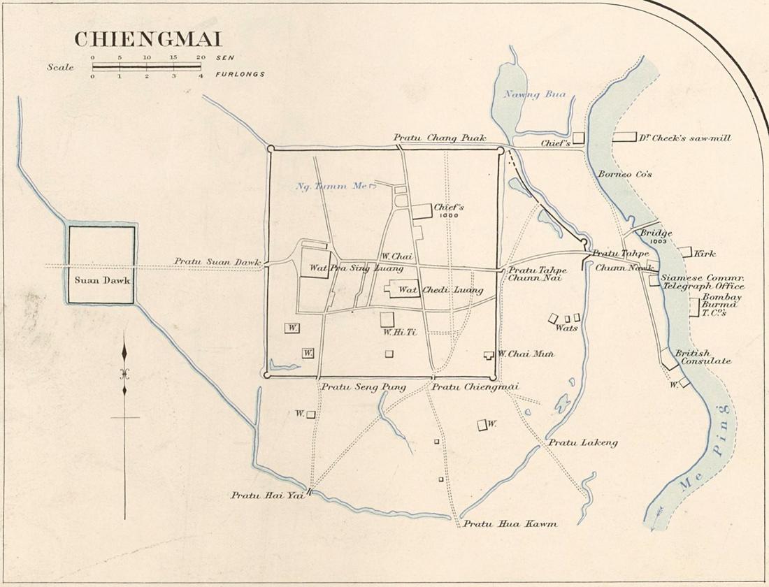 James McCarthy (1853–1919) · Public domain
คืออะไร
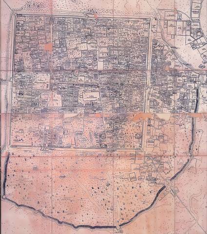
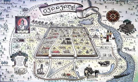
พญามังรายสร้างเชียงใหม่บนที่ดอนห่างแม่ปิงไปทางตะวันตกหนึ่งกิโล หลังเมืองแรกของท่านบนฝั่งน้ำท่วม คูยาวรอบ 6.54 กม. ประตูทุกด้านและประตูที่ห้าด้านใต้ และถนนแนวทิศหลักจากประตูถึงประตู กำแพงดินชั้นนอกโค้งล้อมย่านค้าขายทางตะวันออก
ฉบับยาว
อนุมาน — ตารางในคูเมืองคือผังถนนที่เก่าสุดของเมืองและยังแน่นสุด หน้าการวัดแสดงว่าสี่เหลี่ยมมีแยกต่อตารางกิโลเมตรมากกว่าและทางตันน้อยกว่าวงแหวนใด ๆ ข้างนอก การสร้างเจ็ดศตวรรษยังวางย่านที่เชื่อมกันดีเท่าย่านแรกบ่ได้
เกี่ยวข้องกับ
- พญามังราย The king.
- คูเมือง The square.
- คะแนนตาราง ทีละโซน What it measures now.
ถูกอ้างถึงโดย
- คะแนนตาราง ทีละโซน Who drew it.
- พญามังราย His era.
แต่ละข้อความมาจากไหน
| Field | Tier | Source | Note |
|---|---|---|---|
| default | cited | คูเมืองเชียงใหม่ / กำแพงเมืองเชียงใหม่ — Wikipedia (th) | |
| text_th | inference | written in Thai by this project, in the northern register where it fits; not machine-translated | |
| text.story | inference |
แหล่งอ้างอิง
- คูเมืองเชียงใหม่ / กำแพงเมืองเชียงใหม่ — Wikipedia (th)
- กำแพงเมืองและคูเมืองเชียงใหม่ — ทะเบียนแหล่งสิ่งแวดล้อมศิลปกรรม — ONEP, Office of Natural Resources and Environmental Policy and Planning
- Chiang Mai — Wikipedia (en)
cited Cited — a named source, linked · harvested Harvested — fetched from an open dataset, with its licence · tradition Tradition — general knowledge of the tradition, hedged · inference Inference — this project's own reasoning from the above · field Field — someone stood there