era1296 — the square
พ.ศ. 1839 — สี่เหลี่ยม
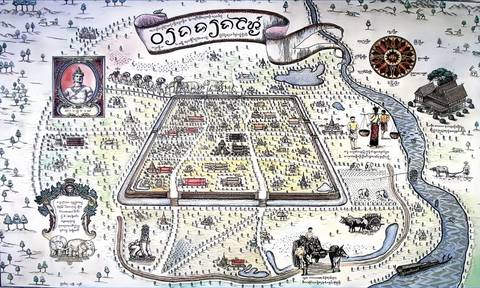
A king draws a square on a rise between a mountain and a river.
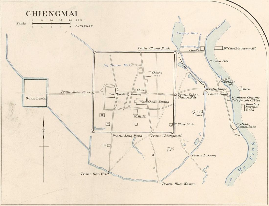 James McCarthy (1853–1919) · Public domain
What it is
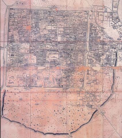
Mangrai founds Chiang Mai on the higher ground a kilometre west of the Ping, after his first city on the bank flooded. A moat 6.54 km round, a gate in each wall and a fifth on the south, and the cardinal streets from gate to gate. The earthen outer wall curves round the trading quarter to the east.
The long version
Inference — the grid inside the moat is the oldest piece of road-planning in the city and it is still the tightest: the measurements page shows the square with more intersections per square kilometre and fewer dead ends than any ring outside it. Seven centuries of building have not managed to lay out a neighbourhood as well-connected as the first one.
Connected to
- Mangrai The king.
- The moat The square.
- The grid score, zone by zone What it measures now.
Named here by
- The grid score, zone by zone Who drew it.
- Mangrai His era.
Where each claim comes from
| Field | Tier | Source | Note |
|---|---|---|---|
| default | cited | คูเมืองเชียงใหม่ / กำแพงเมืองเชียงใหม่ — Wikipedia (th) | |
| text_th | inference | written in Thai by this project, in the northern register where it fits; not machine-translated | |
| text.story | inference |
Sources
- คูเมืองเชียงใหม่ / กำแพงเมืองเชียงใหม่ — Wikipedia (th)
- กำแพงเมืองและคูเมืองเชียงใหม่ — ทะเบียนแหล่งสิ่งแวดล้อมศิลปกรรม — ONEP, Office of Natural Resources and Environmental Policy and Planning
- Chiang Mai — Wikipedia (en)
cited Cited — a named source, linked · harvested Harvested — fetched from an open dataset, with its licence · tradition Tradition — general knowledge of the tradition, hedged · inference Inference — this project's own reasoning from the above · field Field — someone stood there