แผนที่เก่าแผนที่ติดผนังของเชลล์ ราว 2501
แผนที่สองภาษาของบริษัทน้ำมัน และถนนคือประเด็นของมัน
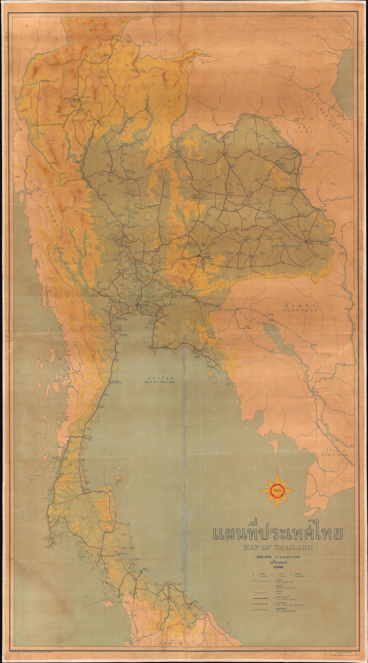 Shell (Shell Company of Thailand, Ltd.). Printed by George Philip and Son. · Public domain
คืออะไร
แผนที่ติดผนังสองภาษาขนาดใหญ่ของประเทศไทย ออกโดยเชลล์ ไม่ระบุปีแต่ราว 2501 มีทางหลวง ทางรถไฟ เมือง และภูมิประเทศ บริษัทน้ำมันวาดถนนเพราะถนนคือธุรกิจ ซึ่งทำให้แผนที่ของบริษัทน้ำมันเป็นแผนที่ถนนที่ดีที่สุดของทศวรรษนั้น
ฉบับยาว
อนุมาน — นี่คือแผ่นระดับประเทศแผ่นสุดท้ายบนเว็บนี้จากก่อนทางหลวง 11 สิบปีต่อมาถนนลำปางถูกสร้างและการขับไปกรุงเทพฯ เปลี่ยนไป และแผนที่ทุกแผ่นหลังจากนั้นคือแผนที่ของประเทศที่มีถนนสายหลักผ่ากลาง
เกี่ยวข้องกับ
- ทางหลวงแผ่นดินหมายเลข 11 — ถนนซุปเปอร์ไฮเวย์ What came ten years later.
- ลิตรละเท่าไรวันที่สร้างเว็บนี้ What a litre costs now.
แต่ละข้อความมาจากไหน
| Field | Tier | Source | Note |
|---|---|---|---|
| default | cited | Wikimedia Commons — the map and photograph files, each with its own licence on its file page — Wikimedia Commons | |
| text_th | inference | written in Thai by this project, in the northern register where it fits; not machine-translated | |
| text.story | inference |
แหล่งอ้างอิง
- Wikimedia Commons — the map and photograph files, each with its own licence on its file page — Wikimedia Commons
cited Cited — a named source, linked · harvested Harvested — fetched from an open dataset, with its licence · tradition Tradition — general knowledge of the tradition, hedged · inference Inference — this project's own reasoning from the above · field Field — someone stood there