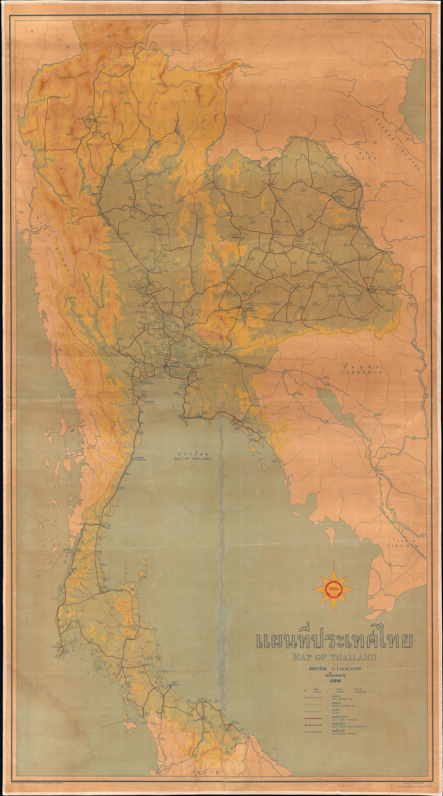
mapThe Shell wall map, about 1958
แผนที่ติดผนังของเชลล์ ราว 2501
A petrol company's bilingual map, and the roads are the point of it.
 Shell (Shell Company of Thailand, Ltd.). Printed by George Philip and Son. · Public domain
What it is
A large bilingual wall map of Thailand issued by Shell, undated but about 1958: highways, railways, towns and topography. A petrol company draws the roads because the roads are the business, which makes an oil-company map the best road map of its decade.
The long version
Inference — this is the last national sheet on this site from before Route 11. Ten years later the Lampang road was built and the drive to Bangkok changed, and every map after it is a map of a country with a trunk road up the middle.
Connected to
- Route 11, the Superhighway What came ten years later.
- What a litre cost on the day this was built What a litre costs now.
Where each claim comes from
| Field | Tier | Source | Note |
|---|---|---|---|
| default | cited | Wikimedia Commons — the map and photograph files, each with its own licence on its file page — Wikimedia Commons | |
| text_th | inference | written in Thai by this project, in the northern register where it fits; not machine-translated | |
| text.story | inference |
Sources
- Wikimedia Commons — the map and photograph files, each with its own licence on its file page — Wikimedia Commons
cited Cited — a named source, linked · harvested Harvested — fetched from an open dataset, with its licence · tradition Tradition — general knowledge of the tradition, hedged · inference Inference — this project's own reasoning from the above · field Field — someone stood there