แผนที่เก่าแผ่นของ War Office 2489
แผนที่สยามของลอนดอนในปีถัดจากสงคราม กว้าง 85 ซม.
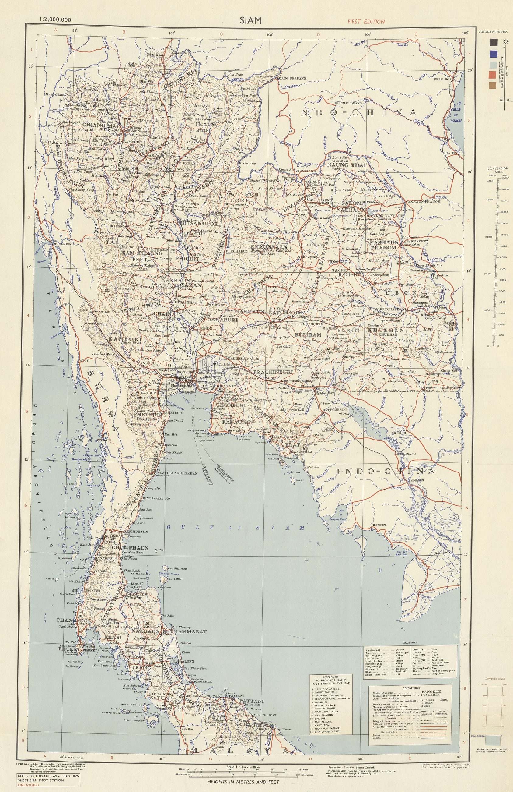 War Office in London, United Kingdom, 1946 · Public domain
คืออะไร
แผนที่สยามสีของ War Office ในลอนดอน ปีถัดจากสงครามและสองปีก่อนถนนรอบคู การทำแผนที่ประเทศนี้ช่วงสงครามและหลังสงครามใหม่ ๆ ดีผิดปกติเพราะกองทัพต้องใช้ และเป็นเหตุที่แผ่นเมืองมาตราส่วน 1:5,000 ปี 2488 มีอยู่เลย
เกี่ยวข้องกับ
- แผนที่เมือง 2488 Its city-scale sibling.
แต่ละข้อความมาจากไหน
| Field | Tier | Source | Note |
|---|---|---|---|
| default | cited | Wikimedia Commons — the map and photograph files, each with its own licence on its file page — Wikimedia Commons | |
| text_th | inference | written in Thai by this project, in the northern register where it fits; not machine-translated |
แหล่งอ้างอิง
- Wikimedia Commons — the map and photograph files, each with its own licence on its file page — Wikimedia Commons
cited Cited — a named source, linked · harvested Harvested — fetched from an open dataset, with its licence · tradition Tradition — general knowledge of the tradition, hedged · inference Inference — this project's own reasoning from the above · field Field — someone stood there