สถานที่ดอยสุเทพ
ดอยตี้ถนนจี้ไป
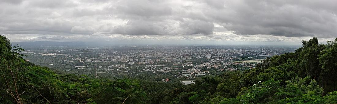 Pratyeka · CC BY-SA 4.0
18.8048, 98.9217 · OpenStreetMap · แผนที่
คืออะไร
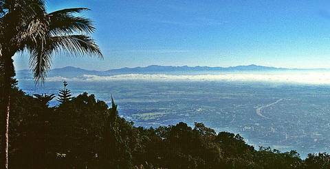
ดอยทางตะวันตกของเมือง สูง 1,676 เมตร มีวัดอยู่สองในสามของทางขึ้น ถนนห้วยแก้วแล้วต่อด้วยถนนครูบาปี 2478 ไต่ขึ้นไป น้ำคูเมืองไหลลงมาจากมัน และถนนวงแหวนด้านตะวันตกวิ่งเลียบตีนดอยบนคลองชลประทาน
ฉบับยาว
อนุมาน — แผนทางยกระดับบนทางหลวง 121 ปี 2568 ถูกคัดค้านส่วนหนึ่งเพราะอาจบังวิวดอยจากที่ราบ ถนนในเมืองนี้ถูกตัดสินด้วยว่ายังเห็นดอยข้ามมันได้ก่ออยู่

เกี่ยวข้องกับ
- ถนนศรีวิชัย The road up it.
- ทางยกระดับบนทางหลวง 121 ดอนแก้ว–เมืองแก้ว The plan judged against its view.
ถูกอ้างถึงโดย
- ถนนศรีวิชัย The mountain.
- วงแหวนรอบนอก — ทางหลวง 121 What its west side runs under.
- ทางยกระดับบนทางหลวง 121 ดอนแก้ว–เมืองแก้ว What it might hide.
แต่ละข้อความมาจากไหน
| Field | Tier | Source | Note |
|---|---|---|---|
| default | cited | Doi Suthep — Wikipedia (en) | |
| text_th | inference | written in Thai by this project, in the northern register where it fits; not machine-translated |
แหล่งอ้างอิง
- Doi Suthep — Wikipedia (en)
- Big development project heading our way — elevated road on Route 121 — Chiang Mai Citylife
cited Cited — a named source, linked · harvested Harvested — fetched from an open dataset, with its licence · tradition Tradition — general knowledge of the tradition, hedged · inference Inference — this project's own reasoning from the above · field Field — someone stood there