สถานที่คลองแม่ข่า
คูชั้นนอกตี้กลายเป็นท่อ แล้วกำลังถูกทำเป็นคลองแหม
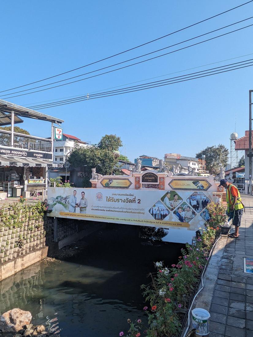 Vano111ru · CC BY-SA 4.0
18.7830, 99.0000 · OpenStreetMap · แผนที่
คืออะไร
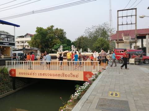
ลำน้ำราว 31 กม. ที่พญามังรายนับเป็นหนึ่งในชัยมงคลเจ็ดประการของที่ตั้งเมือง และใช้เป็นคูชั้นนอก ทางตะวันออกของกำแพงดิน ถึงทศวรรษ 2550 น้ำอยู่ในชั้นคุณภาพแย่ที่สุด เทศบาลเริ่มฟื้นฟูปี 2560 ด้วยงบ 50 ล้านบาทและแผนแม่บท 2561–65 ช่วงหลังช้างคลานตอนนี้เป็นทางเดิน
เกี่ยวข้องกับ
- กำแพงดิน Ran outside it.
- การเสนอมรดกโลกและถนนใต้มัน Inside the nominated core.
ถูกอ้างถึงโดย
- การเสนอมรดกโลกและถนนใต้มัน In the core.
แต่ละข้อความมาจากไหน
| Field | Tier | Source | Note |
|---|---|---|---|
| default | cited | คลองแม่ข่า — Wikipedia (th) | |
| text_th | inference | written in Thai by this project, in the northern register where it fits; not machine-translated |
แหล่งอ้างอิง
- คลองแม่ข่า — Wikipedia (th)
- The journey to becoming a UNESCO World Heritage city — Chiang Mai Citylife
cited Cited — a named source, linked · harvested Harvested — fetched from an open dataset, with its licence · tradition Tradition — general knowledge of the tradition, hedged · inference Inference — this project's own reasoning from the above · field Field — someone stood there