placeMae Kha canal
คลองแม่ข่า · Khlong Mae Kha
The outer moat that became a drain, and is being made a canal again.
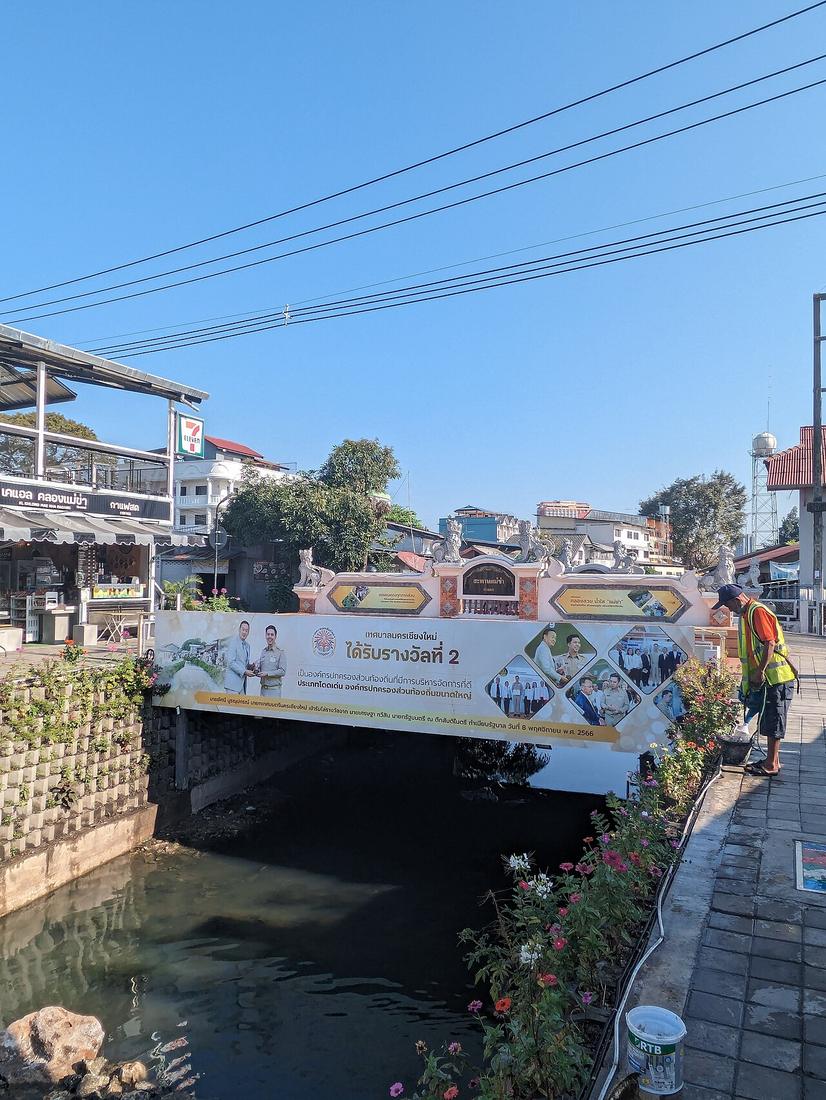 Vano111ru · CC BY-SA 4.0
18.7830, 99.0000 · OpenStreetMap · The map
What it is
A stream of about 31 km that Mangrai counted among the site's seven auspicious features and used as the outer moat, east of the earthen wall. By the 2010s its water was in the worst pollution class. The municipality began a restoration in 2017 with 50 million baht and a master plan for 2018–22; the stretch behind Chang Klan is now a walkway.
Connected to
- Kamphaeng Din, the earthen wall Ran outside it.
- The UNESCO nomination and the roads under it Inside the nominated core.
Named here by
- The UNESCO nomination and the roads under it In the core.
Where each claim comes from
| Field | Tier | Source | Note |
|---|---|---|---|
| default | cited | คลองแม่ข่า — Wikipedia (th) | |
| text_th | inference | written in Thai by this project, in the northern register where it fits; not machine-translated |
Sources
- คลองแม่ข่า — Wikipedia (th)
- The journey to becoming a UNESCO World Heritage city — Chiang Mai Citylife
cited Cited — a named source, linked · harvested Harvested — fetched from an open dataset, with its licence · tradition Tradition — general knowledge of the tradition, hedged · inference Inference — this project's own reasoning from the above · field Field — someone stood there