StopsDoi Inthanon
ดอยอินทนนท์
The highest ground in Thailand, and cold enough at the top to surprise you.
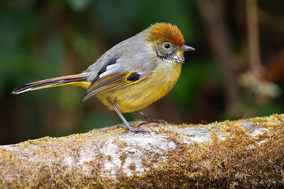 JJ Harrison (https://www.jjharrison.com.au/) · CC BY-SA 3.0
What it is
2,565 metres, in Chom Thong district, reached from Route 108 or from Mae Chaem over Route 1088. Not on the loop; one turn off it.
The long version
The summit is the highest point in Thailand and sits in a national park. The road up is sealed the whole way and steep in places.
Inference — on this circuit it is a decision about a day rather than about a mountain. Clockwise it lands near the end, at Chom Thong, when you are nearly home and tired; counter-clockwise it lands on day one, when you are fresh but have a long way to go. Either way it is a full extra day to do properly, and a rushed half-day gets you a car park in cloud.
A rider coming over the 1263 cut can reach it from the Mae Chaem side on Route 1088, which is the quieter approach.

Runs with
- roadRoute 1088 — The quiet way up, from Mae Chaem.
- legHot to Chiang Mai — The leg with the Chom Thong turn on it.
- townMae Chaem — The town on the back side.
Named here by
- legHot to Chiang Mai — The turn at Chom Thong, if there is a day left.
- roadRoute 1088 — What it reaches.
- townMae Chaem — The mountain on the other side.
Where each claim comes from
| Field | Tier | Source | Note |
|---|---|---|---|
| default | cited | Doi Inthanon — Wikipedia (en) | |
| text.story | cited | Doi Inthanon — Wikipedia (en) | |
| text_th | inference | written in Thai by this project, not machine-translated |
Sources
- Doi Inthanon — Wikipedia (en)
- Chom Thong — Wikipedia (en)
cited Cited — a named source, linked · harvested Harvested — fetched from an open dataset, with its licence · tradition Tradition — general knowledge of the tradition, hedged · inference Inference — this project's own reasoning from the above · field Field — someone stood there