TownsMae Sariang
แม่สะเรียง · Mae Sariang
The southern base, on the Yuam river, with almost nobody in it.
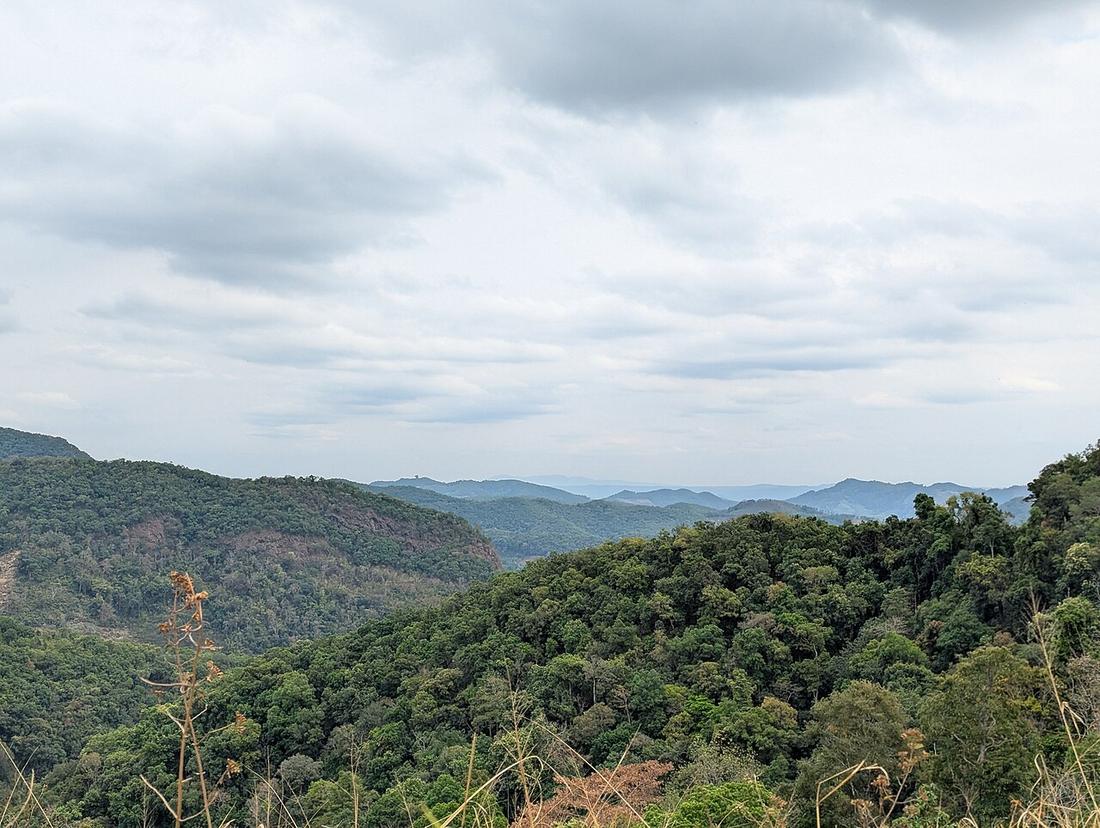 Angkun-ane · CC BY-SA 4.0
What it is
The largest town on the southern leg and the natural overnight between Mae Hong Son and Chiang Mai. Teak-era shophouses, Burmese-style wats, and a river.
The long version
Mae Sariang district reaches west to the Salween, which is the border, and the road on to Mae Sam Laep is the way to see it.
Inference — the arithmetic: Mae Hong Son to Chiang Mai in one day by Route 108 is a very long day on a mountain road; broken at Mae Sariang it is two comfortable ones. Riders on a tight schedule push through and arrive after dark.
Now
Quiet, cheap, and the last town of any size before the long empty run north or the long fast run east.
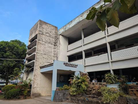
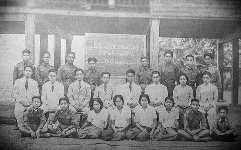
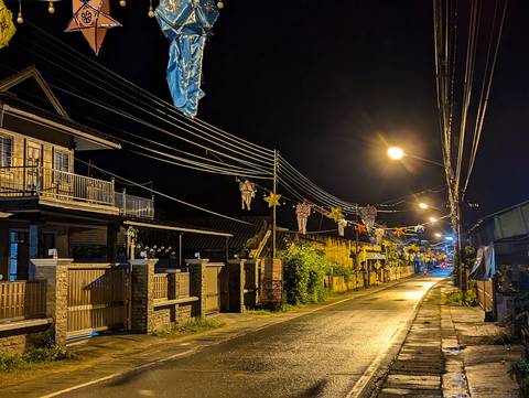
Stay 64
- 1 Mitaree Hotel 1 hotel0.1 km by road +6653681110 Facebook map
- 2 โรงแรมแม่สะเรียงเวียงงาม - Maesariang Viang-Ngam Hotel hotel0.1 km by road +66811917388 Facebook map
- 3 Above the Sea guesthouse0.3 km by road own site +6653682264 Facebook map
- 4 PS.River View Guest House guesthouse0.3 km by road +66 53 681 049 Facebook map
- 5 Riverhouse Hotel hotel0.3 km by road own site +6653682323 Facebook map
- 6 Riverhouse Resort hotel0.3 km by road own site +66 53683066 map
64 beds within 6 km: OpenStreetMap (2026-09-19) and Overture Places (release 2026-09-23.1, mostly Facebook business pages), one row where both name the same place. Distance runs over OpenStreetMap streets from Mae Sariang. Beds with a phone or site of their own come first. Not checked or endorsed; an absence here is an absence from those two maps.
Runs with
- legMae Sariang to Hot — The long eastern day.
- legKhun Yuam to Mae Sariang — The way in from the north.
- roadRoute 108 — The road it sits on.
Named here by
- legKhun Yuam to Mae Sariang — The town at the end.
- roadRoute 108 — The town that breaks the long half in two.
- stopMae Sam Laep and the Salween — The town the road leaves from.
- watWat Jong Soong — The town it is in.
- dishKanom jeen nam ngiao — Deep in the country it belongs to.
- stayThe teak shophouse — The quieter town to try it in.
- storyHow old is this ride — Where the old road crossed to Burma.
Where each claim comes from
| Field | Tier | Source | Note |
|---|---|---|---|
| default | cited | Mae Sariang district — Wikipedia (en) | |
| text.story | inference | the riding conclusions are this project's; the geography and history under them are cited | |
| text.today | inference | ||
| text_th | inference | written in Thai by this project, not machine-translated |
Sources
- Mae Sariang district — Wikipedia (en)
- Salween River — Wikipedia (en)
- Mae Hong Son province — Wikipedia (en)
cited Cited — a named source, linked · harvested Harvested — fetched from an open dataset, with its licence · tradition Tradition — general knowledge of the tradition, hedged · inference Inference — this project's own reasoning from the above · field Field — someone stood there