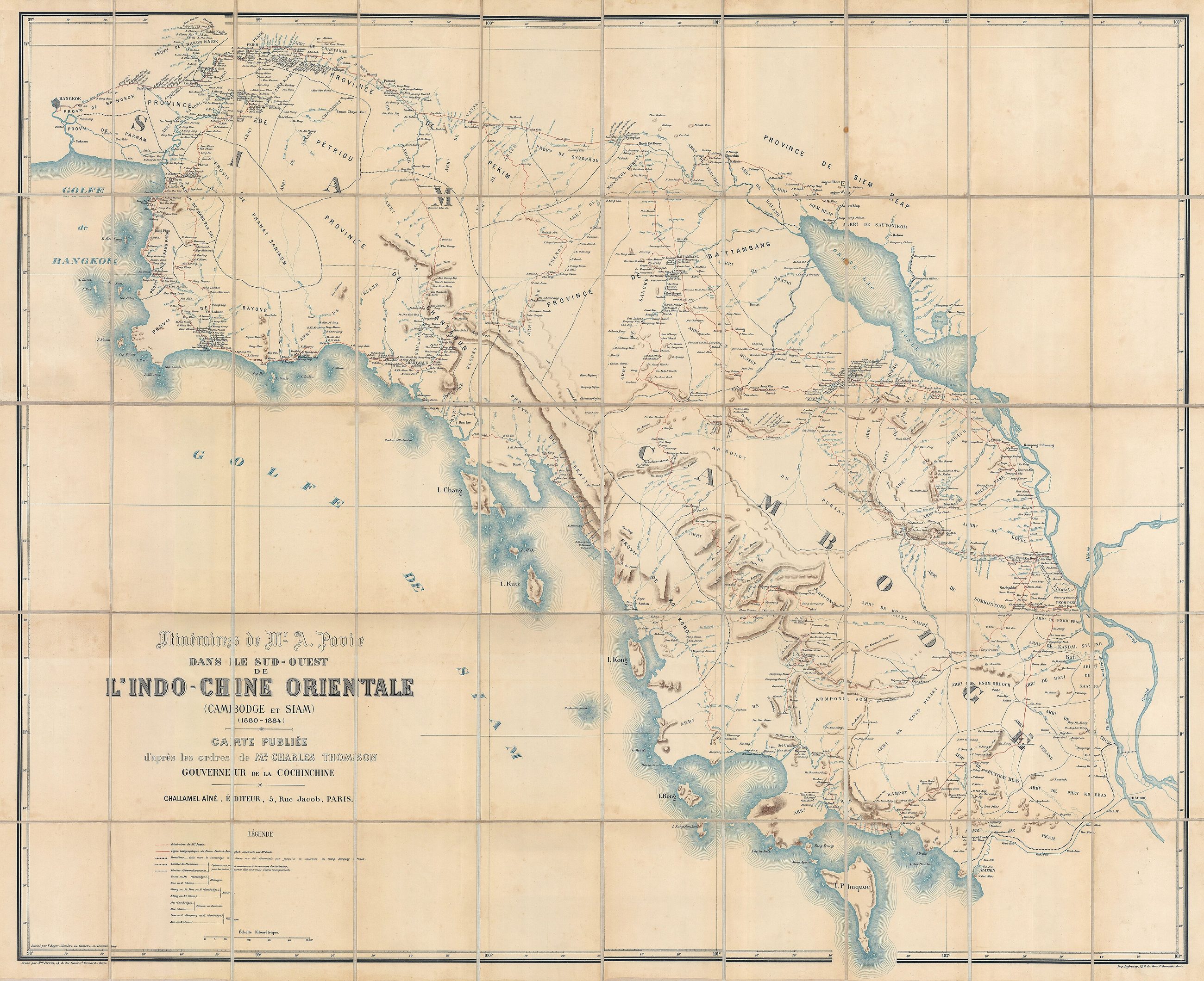
แผนที่เก่าเส้นทางเดินทางของปาวี 2423–2427
บ่ใช่แผนที่ถนน เป็นแผนที่เส้นทางของคนคนเดียว ซึ่งตอนนั้นถนนก็คืออย่างนั้น
 Auguste Jean-Marie Pavie (1847 - 1925) · Public domain
คืออะไร
เส้นทางที่โอกุสต์ ปาวี เดินเองผ่านกัมพูชาและสยาม ปี 2423 ถึง 2427 วาดขนาด 106 คูณ 130 ซม. นายทหารอาณานิคมฝรั่งเศสเดินและล่องไปตามเส้นทาง และเส้นบนแผ่นคือที่ที่เขาไป ความต่างระหว่างเส้นทางกับถนนยังไม่ถูกแยก เพราะไม่มีอะไรในภาคเหนือที่จะรอดฤดูฝน
เกี่ยวข้องกับ
- สยามของแม็กคาร์ธี 2431 The survey that followed.
- 2339–2443 — ยุคพระเจ้ากาวิละ Its era.
ถูกอ้างถึงโดย
- เส้นทางขึ้นเหนือของบ็อก 2424 The same decade, the same problem.
- สยามของลูแบร์ 2236 Where the land routes start.
แต่ละข้อความมาจากไหน
| Field | Tier | Source | Note |
|---|---|---|---|
| default | cited | Wikimedia Commons — the map and photograph files, each with its own licence on its file page — Wikimedia Commons | |
| text_th | inference | written in Thai by this project, in the northern register where it fits; not machine-translated |
แหล่งอ้างอิง
- Wikimedia Commons — the map and photograph files, each with its own licence on its file page — Wikimedia Commons
cited Cited — a named source, linked · harvested Harvested — fetched from an open dataset, with its licence · tradition Tradition — general knowledge of the tradition, hedged · inference Inference — this project's own reasoning from the above · field Field — someone stood there