The map
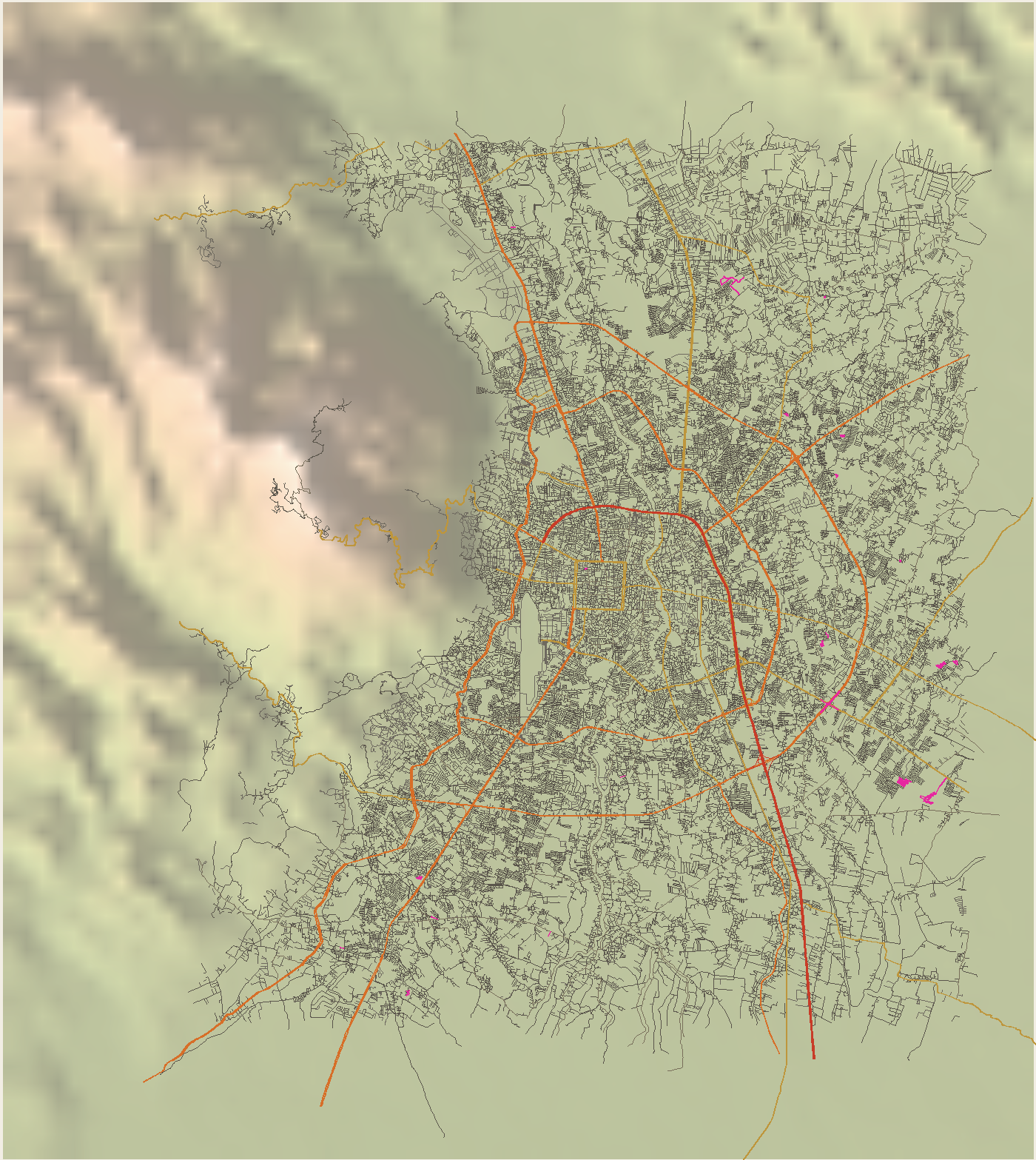
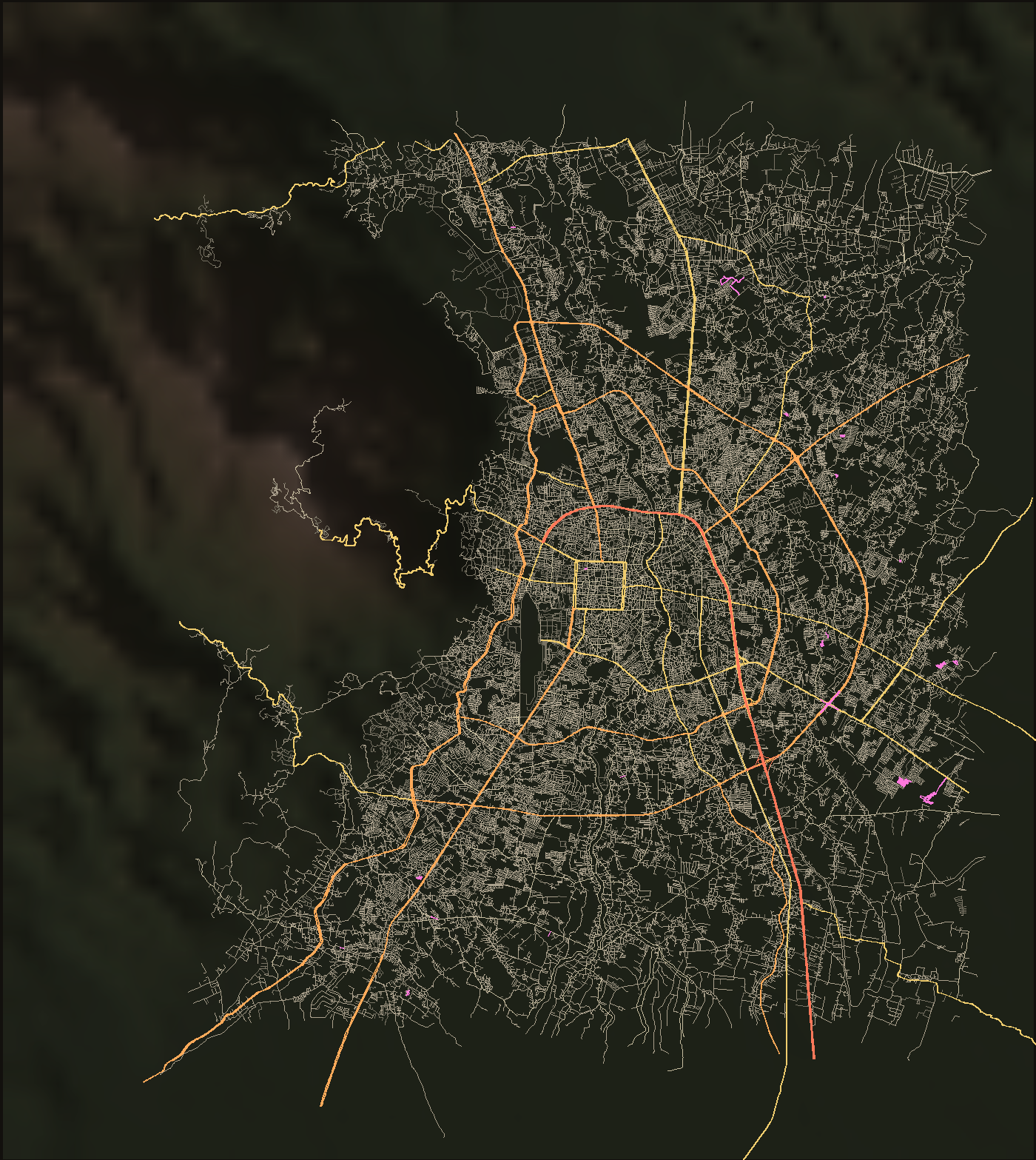
52,389 ways from OpenStreetMap, 8,055 km, drawn over the relief. Rasters where the count would sink a vector, vectors where there is a name to read.
The city and its rings
Inside the moat, every lane
1321 lanes, 356 main streets, 68 wats inside the square; dashed blue is one-way.
Which way the streets run
One rose per zone. A grid shows as four spikes; a city that grew along whatever track was there shows as a blur. Boeing’s method, 36 bins, each way weighted by its length.
Coloured by the era that built it
Only the roads with a record on this site are coloured; the grey underneath is everything else. A road built in one era and widened in another wears the era it was built.
The roads out
How the maps were made
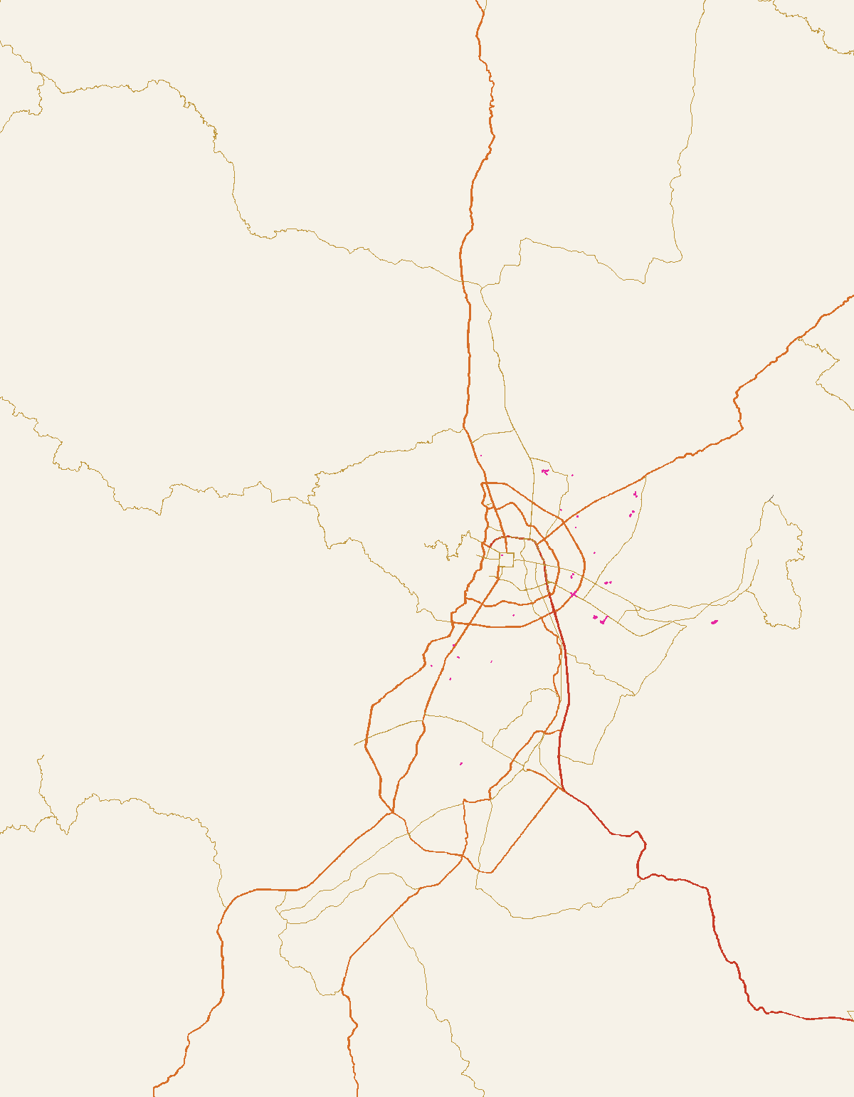
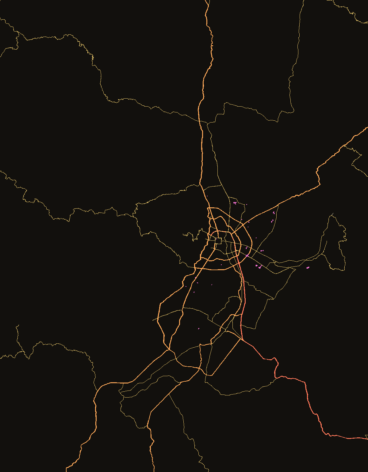
Every way tagged highway in a box from Mae Rim to Saraphi and Doi Suthep to San Kamphaeng, fetched from OpenStreetMap by Overpass in a hundred tiles and cached. The relief is Copernicus DEM sampled at 4,485 points through Open-Meteo, shaded and tinted. One equirectangular projection scaled by the cosine of the latitude serves every map, so an overlay lines up with its base by construction. The measurements page says what was counted on it.