Timeline
Seven chapters of road-building, and the dated roads on one line from 1296 to the light rail’s latest opening date.
1296 — the square
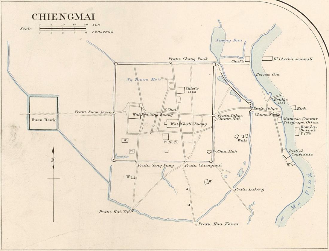 James McCarthy (1853–1919) · Public domain
A king draws a square on a rise between a mountain and a river.
Mangrai founds Chiang Mai on the higher ground a kilometre west of the Ping, after his first city on the bank flooded. A moat 6.54 km round, a gate in each wall and a fifth on the south, and the cardinal streets from gate to gate. The earthen outer wall curves round the trading quarter to the east.
1300s–1700s — Lanna and Burma
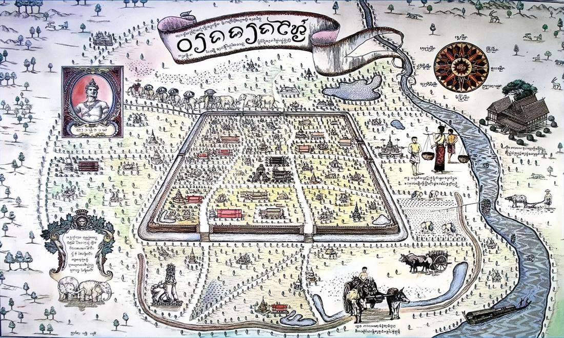 Unknown author · Public domain
Four hundred years in which the roads were the rivers.
The kingdom's roads were tracks and its highways were the Ping and the Kok. Two centuries of Burmese rule from 1558 left the walls standing and the city, by the 1770s, nearly empty. The fifth gate, Suan Prung, was cut in the south wall under Sam Fang Kaen in this period.
1796–1900 — Kawila's rebuilding
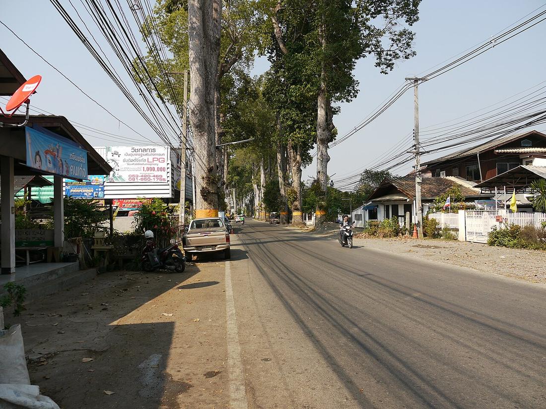 FredTC · CC BY-SA 4.0
The city is re-peopled, the moat re-dug, and the first trees planted along a road.
Kawila re-enters the empty city in 1796, restores the walls and gives the corners their bastions. Through the century Siam's hold tightens; the first teak bridge crosses the Ping about 1890; the yang-na trees go in along the Lamphun road, 1882 by one account; the Hang Dong road is built in 1899 with khi-lek trees for the Burma trade.
1900–1950 — Siam and the railway
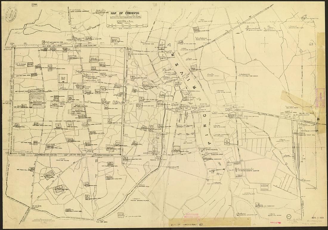 Unknown author · Public domain
The train arrives, a gate is demolished for a straight road, and the moat gets its ring.
The railway reaches the east bank on 1 January 1921 and Tha Phae becomes the commercial street. Between 1910 and 1915 Chang Moi Gate and its earth bank are removed to run Ratchawithi Road straight to the river. The steel Nawarat Bridge opens 1923. The municipality is founded 1936 and in 1948 builds the roads on both banks of the moat, demolishing stretches of the wall registered as a monument thirteen years before.
1935 — the monk's road
 Jakub Hałun · CC BY-SA 4.0
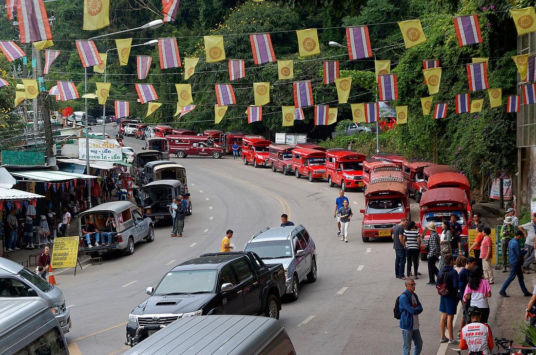
Eleven and a half kilometres up a mountain, by hand, in under six months.
Kruba Srivichai's road up Doi Suthep: ground broken 9 November 1934, open to vehicles 30 April 1935, 11.53 km of earth and laterite, five months and twenty-two days, built by volunteers. Its own chapter because nothing else in the city's road history was made this way.
1960s–70s — the Superhighway
 Survey of India Offices · Public domain
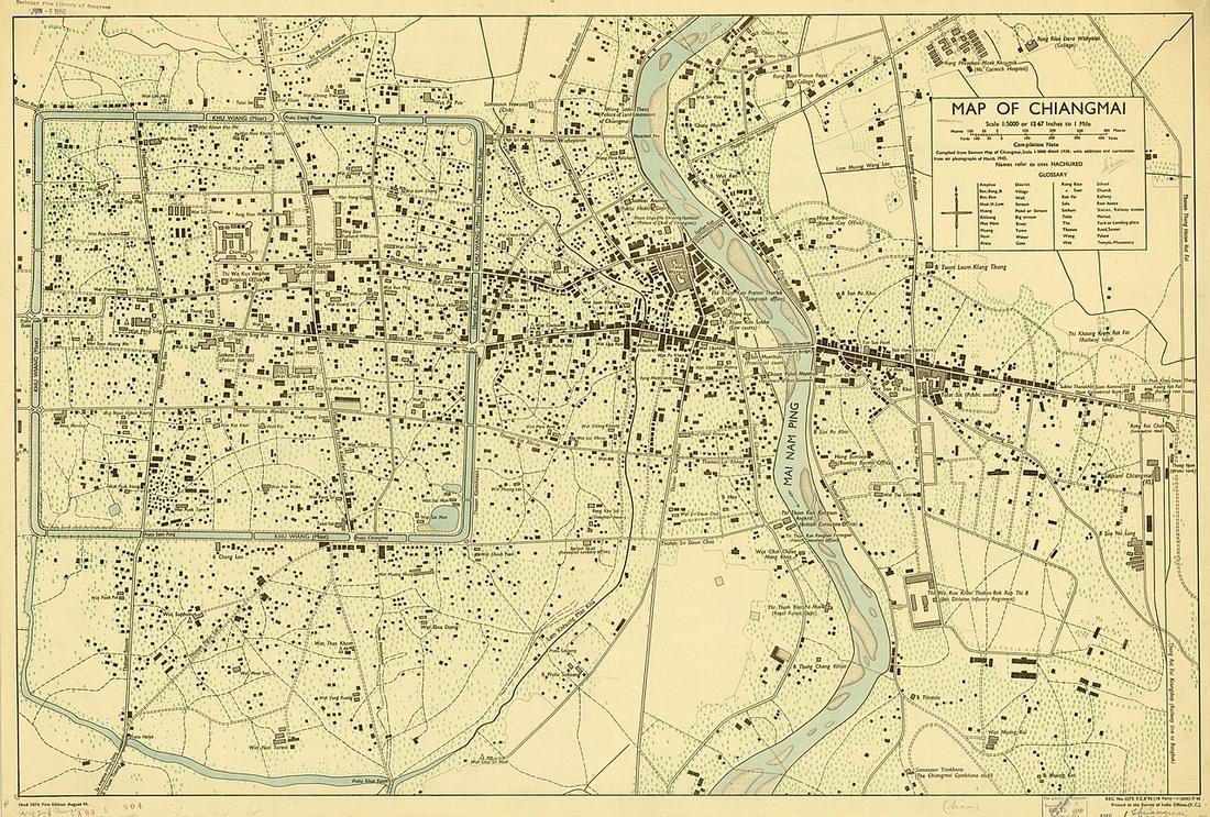
A two-lane bypass to Lampang becomes the first ring, and the city's edge jumps three kilometres.
The Department of Highways' Lampang centre builds the Chiang Mai–Lampang road, Route 11, in 1968–69, two lanes, to shorten the run to Bangkok; traffic on the old Lamphun road falls away. Its last ten kilometres skirt the city on the north and east and become, with Mahidol Road (surveyed 1970, built 1972, 7.4 km) on the south and Nimmanhaemin on the west, the first ring. The university opens 1964 on the Nimmanhaemin land; the concrete Nawarat Bridge opens 1967.
1984–2006 — the rings
 Christophe95 · CC BY-SA 4.0
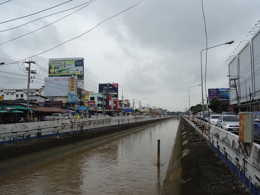
Two more rings are drawn on a plan, and take twenty years to build.
The first comprehensive plan, 1984, lays out the middle and outer rings; Interior Ministry Regulation 78 of 1989 fixes them. The outer ring, Route 121, is begun 1994 by the Lampang highway centre, stalls on land and the 1997 crash, and is closed as a 52.96 km loop through the 2000s. The middle ring, the 700 Years Road, is broken ground the same year, 26.13 km with seven underpasses and one interchange, and opened 6 February 2006 at 10,070 million baht including land. Route 11 is widened to four lanes from 2001; Mahidol from two to six in 1998–2001.
2010s–2020s — going under, and going up
 This Photo was taken by Supanut Arunoprayote.
Feel free to use any of my images, but please mention me as the author and may send me a message. (สามารถใช้ภาพได้อิสระ แต่กรุณาใส่เครดิตผู้ถ่ายและอาจส่ · CC BY 4.0
This Photo was taken by Supanut Arunoprayote.
Feel free to use any of my images, but please mention me as the author and may send me a message. (สามารถใช้ภาพได้อิสระ แต่กรุณาใส่เครดิตผู้ถ่ายและอาจส่ · CC BY 4.0Tunnels at the junctions, four lanes to Chiang Rai, and a light rail that keeps moving its opening date.
Fa Ham underpass opens 2018 at 1,172.8 million baht. Route 118 is four-laned section by section, the last 17.5 km due 2026. Five interchanges on the outer ring are tendered for 3,145 million baht, due 2027. The old city gets a 12 m height cap and Ratchadamnoen goes one-way in 2021 for a walkable-district pilot. UNESCO tentative listing 2015, nomination filed January 2026. The Ping floods in October 2024 to 5.30 m at Nawarat. A new comprehensive plan is approved 17 March 2026 with 51 project roads.