Route 1001, to Phrao
Khxwklong · CC BY-SA 4.0ทางหลวงแผ่นดินหมายเลข 1001 — เชียงใหม่–พร้าว
From the Fa Ham junction on the Superhighway north through San Sai and Mae Jo to Phrao, 93.657 km. The first kilometre is one of the busiest counts…
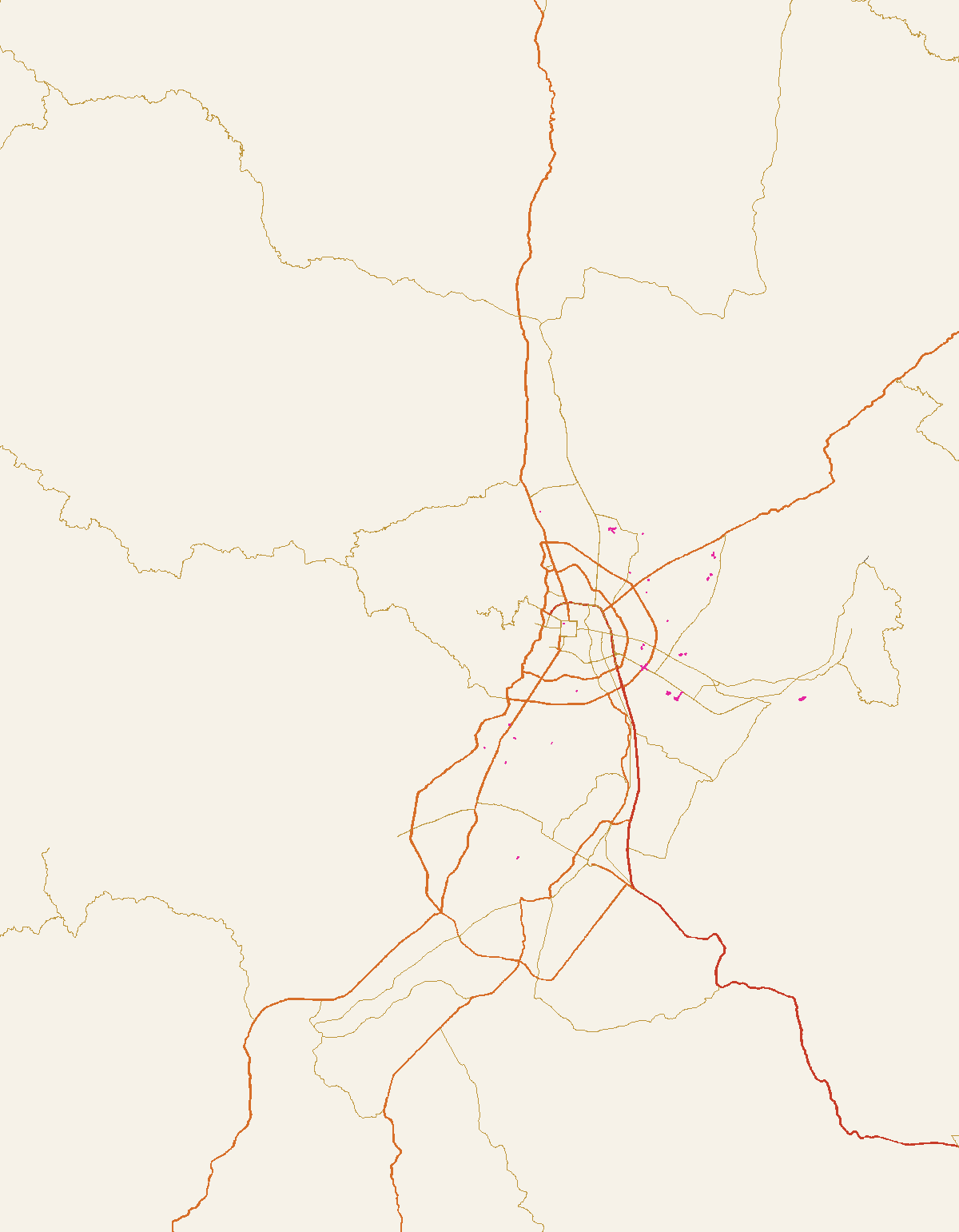
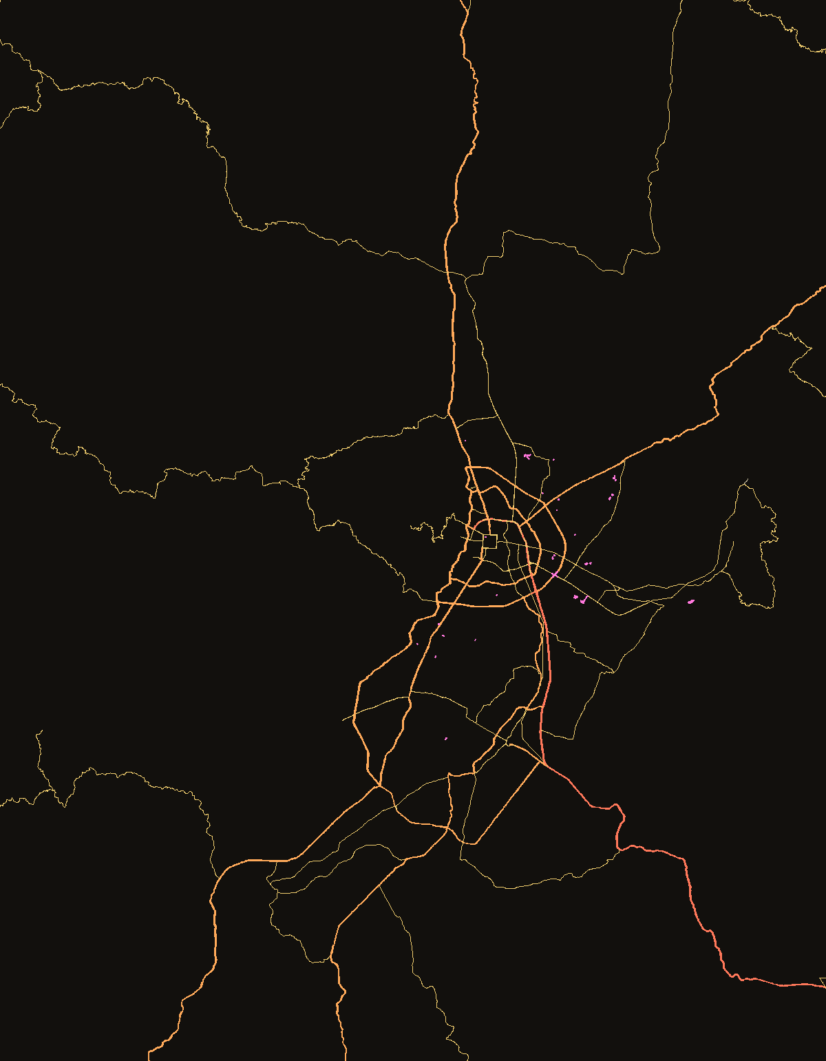
The numbered roads to Lamphun, Lampang and Bangkok, Chiang Rai, Fang, Pai, Mae Hong Son and Samoeng, with the count at the city end of each.
| Route | km | to | vehicles/day at the city end, 2025 | motorcycles | |
|---|---|---|---|---|---|
| 11 | Route 11, the Superhighway | 562.673 | Huay Kaew Road, Chiang Mai | 67,150 | 6,506 |
| 118 | Route 118, to Chiang Rai | 158.65 | Mae Lao, Chiang Rai | 64,350 | 16,374 |
| 1317 | Route 1317, the new San Kamphaeng road | 36.991 | Huay Kaew, San Kamphaeng | 59,248 | 17,135 |
| 1001 | Route 1001, to Phrao | 93.657 | Phrao | 55,708 | 22,601 |
| 108 | Route 108, southwest to Mae Hong Son | 349.359 | Mae Hong Son | 43,993 | 15,628 |
| 107 | Route 107, north to Fang | 240.301 | Mae Chan, Chiang Rai | 43,423 | 7,056 |
| 1006 | Route 1006, the old San Kamphaeng road | 31.45 | On Luai | 41,997 | 11,542 |
| 1095 | Route 1095, the curve road to Pai | 204.023 | Mae Hong Son | 5,782 | 1,489 |
| 1269 | Route 1269, Samoeng | 36.319 | Ton Kwen, Hang Dong | 4,035 | 1,232 |
| 1 | Route 1, Phahonyothin, and the 696 km to Bangkok | 1005 | Mae Sai | — | — |
| 106 | Route 106, the old road south | 256.359 | Chiang Mai | — | — |
The count is the station on that route nearest the city with the largest figure; the station name and kilometre are on the traffic page.
2,631 a day in 2020; 5,782 in 2025. The loop site counts its curves; this one only counts what comes off it.
The Mae Hong Son Loopทางหลวงแผ่นดินหมายเลข 1001 — เชียงใหม่–พร้าว
From the Fa Ham junction on the Superhighway north through San Sai and Mae Jo to Phrao, 93.657 km. The first kilometre is one of the busiest counts…
ทางหลวงแผ่นดินหมายเลข 107 — เชียงใหม่–ฝาง
From Chang Phueak Gate through Mae Rim, Mae Taeng, Chiang Dao, Fang and Mae Ai to Route 1 at Mae Chan, 240.3 km, a pre-1937 road. City to Mae Rim is…
ทางหลวงแผ่นดินหมายเลข 118 — เชียงใหม่–เชียงราย
Chiang Mai to Doi Saket, Wiang Pa Pao, Mae Suai and Mae Lao on Route 1, 158.65 km. The first 14 km out of the city are four to eight lanes and the…
ทางหลวงแผ่นดินหมายเลข 1006 — สันกำแพงสายเก่า
Chiang Mai to On Luai through Bo Sang and San Kamphaeng, 31.45 km, the handicraft road. 44,945 vehicles a day at km 10 in 2024. The Louis interchange…
ทางหลวงแผ่นดินหมายเลข 1317 — สันกำแพงสายใหม่
Don Chan on Mahidol Road east to Huay Kaew in San Kamphaeng, 36.991 km, the newer of the two roads to San Kamphaeng. 59,248 vehicles a day at km 1 in…
ทางหลวงแผ่นดินหมายเลข 1 พหลโยธิน — 696 กม. ถึงกรุงเทพฯ
Thailand's first highway, 1,005 km from the Victory Monument to Mae Sai, named 1938. Chiang Mai is not on it; the run to Bangkok leaves Route 1 at…
ทางหลวงแผ่นดินหมายเลข 106 — ถนนสายเก่าลงใต้
Sukhothai to Lampang, Lamphun and Chiang Mai, 256.359 km. The Chiang Mai–Lamphun stretch is the Yang Tree Road, two to four lanes under the yang-na.…
ทางหลวงแผ่นดินหมายเลข 11 — ถนนซุปเปอร์ไฮเวย์
From the Inthaburi interchange on Route 32 in Sing Buri to Huay Kaew Road in Chiang Mai, 562.673 km, Asian Highway 13. The Lampang–Chiang Mai section…
ทางหลวงแผ่นดินหมายเลข 108 — เชียงใหม่–แม่ฮ่องสอน
Through Hang Dong, San Pa Tong and Chom Thong to Hot, 88 km of four to six lanes, then 265 km of two-lane mountain road through Mae Sariang and Khun…
ทางหลวงแผ่นดินหมายเลข 1269 — สะเมิง
Samoeng to Ton Kwen, 36.319 km, the road that with Route 1096 makes the Samoeng day loop. The loop site measured it denser in curves than the famous…
ทางหลวงแผ่นดินหมายเลข 1095 — ถนนสายปาย
From Ban Nong Khong on Route 107 through Pai and Pang Mapha to Mae Hong Son, 204.023 km, realigned to its present start in 1994. Thai Wikipedia gives…