highwayRoute 1095, the curve road to Pai
ทางหลวงแผ่นดินหมายเลข 1095 — ถนนสายปาย
204 km, two thousand curves by its own account, and the fastest-growing count in the province.
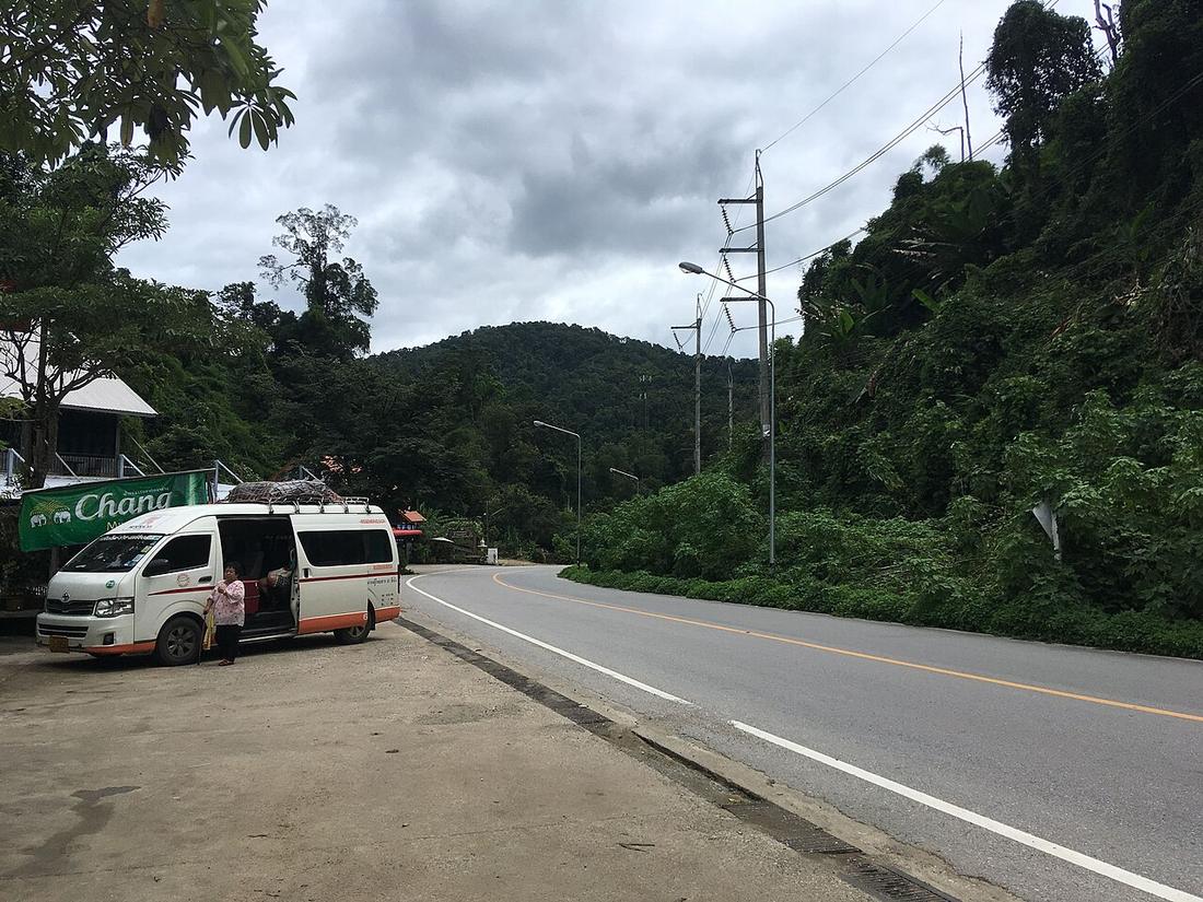 Christophe95 · CC BY-SA 4.0
from Nong Khong, Mae Taeng to Mae Hong Son
What it is
From Ban Nong Khong on Route 107 through Pai and Pang Mapha to Mae Hong Son, 204.023 km, realigned to its present start in 1994. Thai Wikipedia gives it more than 2,000 curves; the shirts in Pai say 1,864, a figure this project's sister site measured against the map. The 2020 count at km 0.7 was 2,631 vehicles a day; the 2025 count 5,782, more than double in five years.
Connected to
- Route 107, north to Fang What it turns off.
Named here by
- Route 107, north to Fang Turns off it at km 35.
- The nine roads, 2025–27 On the list.
Where each claim comes from
| Field | Tier | Source | Note |
|---|---|---|---|
| default | cited | ทางหลวงแผ่นดินหมายเลข 1095 — Wikipedia (th) | |
| text_th | inference | written in Thai by this project, in the northern register where it fits; not machine-translated |
Sources
- ทางหลวงแผ่นดินหมายเลข 1095 — Wikipedia (th)
- ปริมาณจราจรเฉลี่ยต่อวันตลอดปี (AADT) — open data 2560–2568 — กรมทางหลวง Department of Highways
- The Mae Hong Son Loop — 1,864 curves — Mot Dang / hongdam.net
cited Cited — a named source, linked · harvested Harvested — fetched from an open dataset, with its licence · tradition Tradition — general knowledge of the tradition, hedged · inference Inference — this project's own reasoning from the above · field Field — someone stood there