mapThe first national map, 1939
แผนที่ชาติฉบับแรก 2482
The Royal Thai Survey Department, in Thai, and the country has a new name on it.
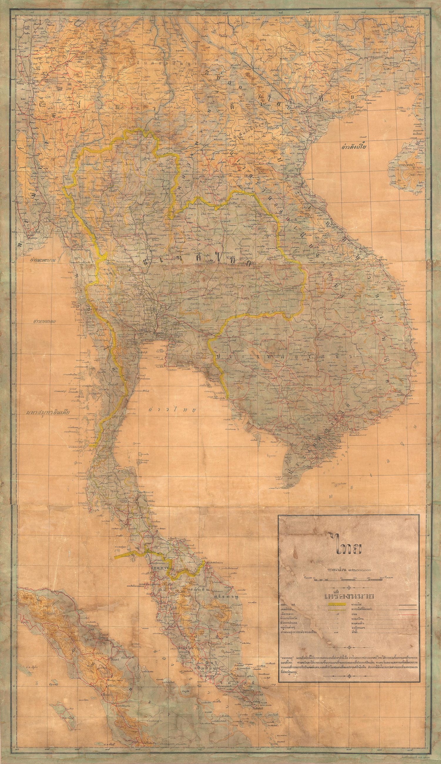 Royal Thai Survey Department (1939) · Public domain
What it is
A Royal Thai Survey Department map of mainland Southeast Asia, described as the first national map of Thailand and the first to carry the new name. Siam became Thailand in 1939, and the sheet is the state drawing itself as it wanted to be read.
Where each claim comes from
| Field | Tier | Source | Note |
|---|---|---|---|
| default | cited | Wikimedia Commons — the map and photograph files, each with its own licence on its file page — Wikimedia Commons | |
| text_th | inference | written in Thai by this project, in the northern register where it fits; not machine-translated |
Sources
- Wikimedia Commons — the map and photograph files, each with its own licence on its file page — Wikimedia Commons
cited Cited — a named source, linked · harvested Harvested — fetched from an open dataset, with its licence · tradition Tradition — general knowledge of the tradition, hedged · inference Inference — this project's own reasoning from the above · field Field — someone stood there