highwayRoute 118, to Chiang Rai
ทางหลวงแผ่นดินหมายเลข 118 — เชียงใหม่–เชียงราย
158.5 km over the mountains, and the last 17.5 km of four-laning due 2026.
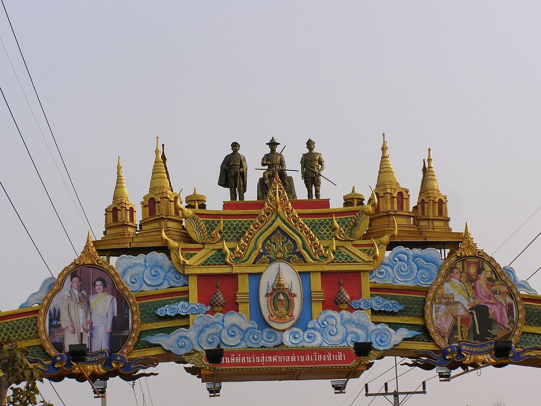 CHAMRAT CHAROENKHET · CC BY 3.0
from Chiang Mai to Mae Lao, Chiang Rai
What it is
Chiang Mai to Doi Saket, Wiang Pa Pao, Mae Suai and Mae Lao on Route 1, 158.65 km. The first 14 km out of the city are four to eight lanes and the 2024 count at km 0.5 read 82,500 vehicles a day, the second busiest station in the province. The whole road is being four-laned: Chiang Mai–Doi Saket 20.2 km done October 2008; Pong Pha Tong–Ban Pong 28.5 km October 2019; Pa Miang–Pang Nam Thu 9.25 km March 2020; five sections of 42.8 km in 2020–21; and the last stretch from Mae Suai to Route 1, 17.473 km for 2,000 million baht, under contract for 2026.
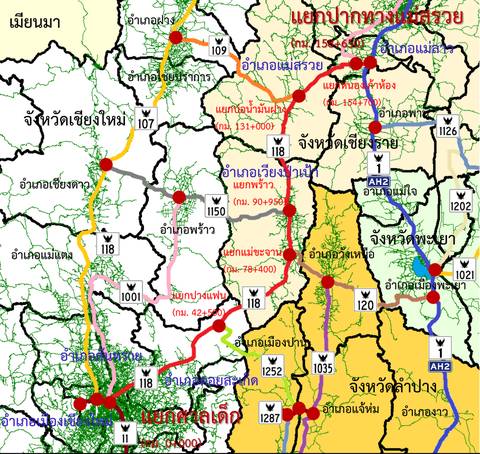
Connected to
- Chiang Mai–Chiang Rai motorway, MR1-3 The road that would bypass it.
- Fa Ham underpass Its junction with the Superhighway.
Named here by
- Chiang Mai–Chiang Rai motorway, MR1-3 What it would bypass.
- Four-laning Route 118 to Chiang Rai The road.
- Bock's route to the north, 1881 What the journey is now.
Where each claim comes from
| Field | Tier | Source | Note |
|---|---|---|---|
| default | cited | ทางหลวงแผ่นดินหมายเลข 118 — Wikipedia (th) | |
| text_th | inference | written in Thai by this project, in the northern register where it fits; not machine-translated |
Sources
- ทางหลวงแผ่นดินหมายเลข 118 — Wikipedia (th)
- ทางหลวง 118 ขยายสี่ช่องจราจร — สถานะเป็นช่วง — Feasy Online
- ทางหลวง 118 ช่วงสุดท้าย แม่สรวย–ทางหลวง 1 — Chiang Rai 108
- ปริมาณจราจรเฉลี่ยต่อวันตลอดปี (AADT) — open data 2560–2568 — กรมทางหลวง Department of Highways
cited Cited — a named source, linked · harvested Harvested — fetched from an open dataset, with its licence · tradition Tradition — general knowledge of the tradition, hedged · inference Inference — this project's own reasoning from the above · field Field — someone stood there