traffic figureThe municipality's roads, counted by the municipality
ถนนของเทศบาล นับโดยเทศบาล
699 roads, 255.65 km, in 40.2 km²; and three national highways pass through.
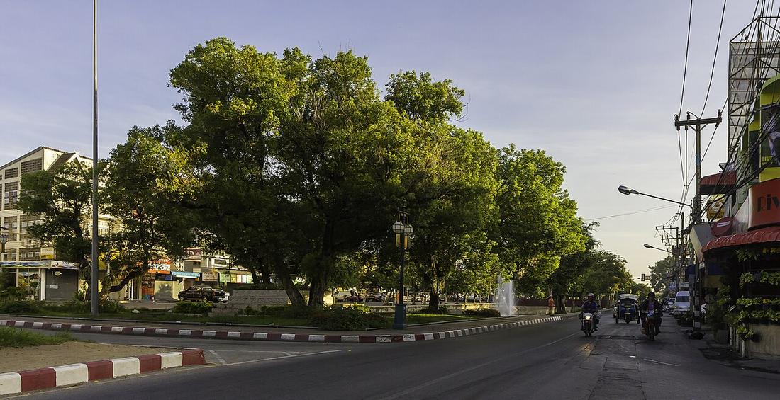 Stefan Fussan · CC BY-SA 3.0
How it was counted. The municipality's own basic-data PDF, 2023. The site's own OpenStreetMap count for the same box is on the measurements page and is larger, because it includes lanes the municipality does not list.
Against: the OpenStreetMap kilometres on the measurements page
What it is
Chiang Mai municipality, 40.216 km² since 1983 in four wards, reports 699 roads totalling 255.65 km: 469 asphalt at 182.76 km, 216 concrete at 69.69 km, 14 paving-block at 3.20 km. Three national highways run inside it: 11, 121 and 1141. Cables have gone underground on Tha Phae 1,055 m, Chang Klan 700 m and Phra Pokklao 2,000 m. Registered population 137,793 in 2011 and falling each year to 2020; 129,536 in 2018 against 150,537 in 1985. The province had 1,799,019 people in 2024.
Connected to
- The network, in kilometres The map's count.
- The moat loop Municipal roads.
Named here by
- The network, in kilometres The municipality's own count.
Where each claim comes from
| Field | Tier | Source | Note |
|---|---|---|---|
| default | cited | ข้อมูลพื้นฐานเทศบาลนครเชียงใหม่ 2566 — พื้นที่ ประชากร ถนน — เทศบาลนครเชียงใหม่ | |
| text_th | inference | written in Thai by this project, in the northern register where it fits; not machine-translated |
Sources
- ข้อมูลพื้นฐานเทศบาลนครเชียงใหม่ 2566 — พื้นที่ ประชากร ถนน — เทศบาลนครเชียงใหม่
- เทศบาลนครเชียงใหม่ — Wikipedia (th)
- Chiang Mai province — Wikipedia (en)
cited Cited — a named source, linked · harvested Harvested — fetched from an open dataset, with its licence · tradition Tradition — general knowledge of the tradition, hedged · inference Inference — this project's own reasoning from the above · field Field — someone stood there