era1300s–1700s — Lanna and Burma
พุทธศตวรรษ 19–23 — ล้านนากับพม่า
Four hundred years in which the roads were the rivers.
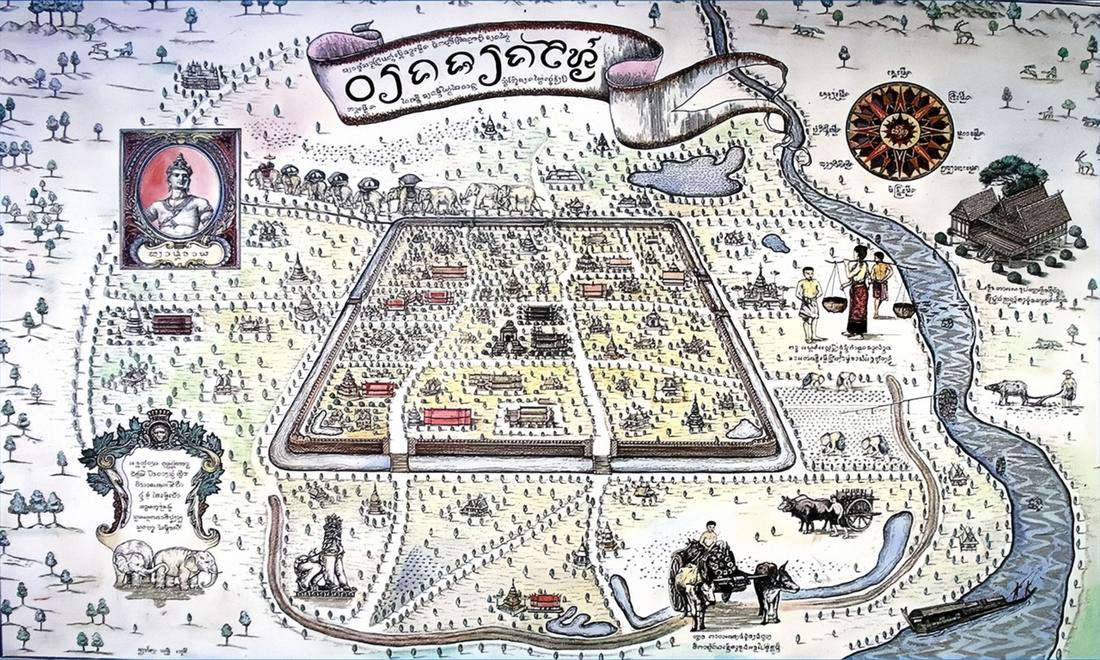 Unknown author · Public domain
What it is
The kingdom's roads were tracks and its highways were the Ping and the Kok. Two centuries of Burmese rule from 1558 left the walls standing and the city, by the 1770s, nearly empty. The fifth gate, Suan Prung, was cut in the south wall under Sam Fang Kaen in this period.
The long version
Inference — no road in the present catalogue is dated to these four centuries, which is a statement about the record rather than the roads. The trade tracks to Burma through Hang Dong, later Route 108, and north through Chiang Dao, later 107, are older than any document that names them.
Connected to
- Suan Prung Gate Cut in this era.
- Route 108, southwest to Mae Hong Son The old track to Burma.
Named here by
- The Lanna city map Its era.
Where each claim comes from
| Field | Tier | Source | Note |
|---|---|---|---|
| default | cited | Lanna — Wikipedia (en) | |
| text_th | inference | written in Thai by this project, in the northern register where it fits; not machine-translated | |
| text.story | inference |
Sources
- Lanna — Wikipedia (en)
- คูเมืองเชียงใหม่ / กำแพงเมืองเชียงใหม่ — Wikipedia (th)
cited Cited — a named source, linked · harvested Harvested — fetched from an open dataset, with its licence · tradition Tradition — general knowledge of the tradition, hedged · inference Inference — this project's own reasoning from the above · field Field — someone stood there