highwayRoute 108, southwest to Mae Hong Son
ทางหลวงแผ่นดินหมายเลข 108 — เชียงใหม่–แม่ฮ่องสอน
349 km, and it changes character at a roundabout in Hot.
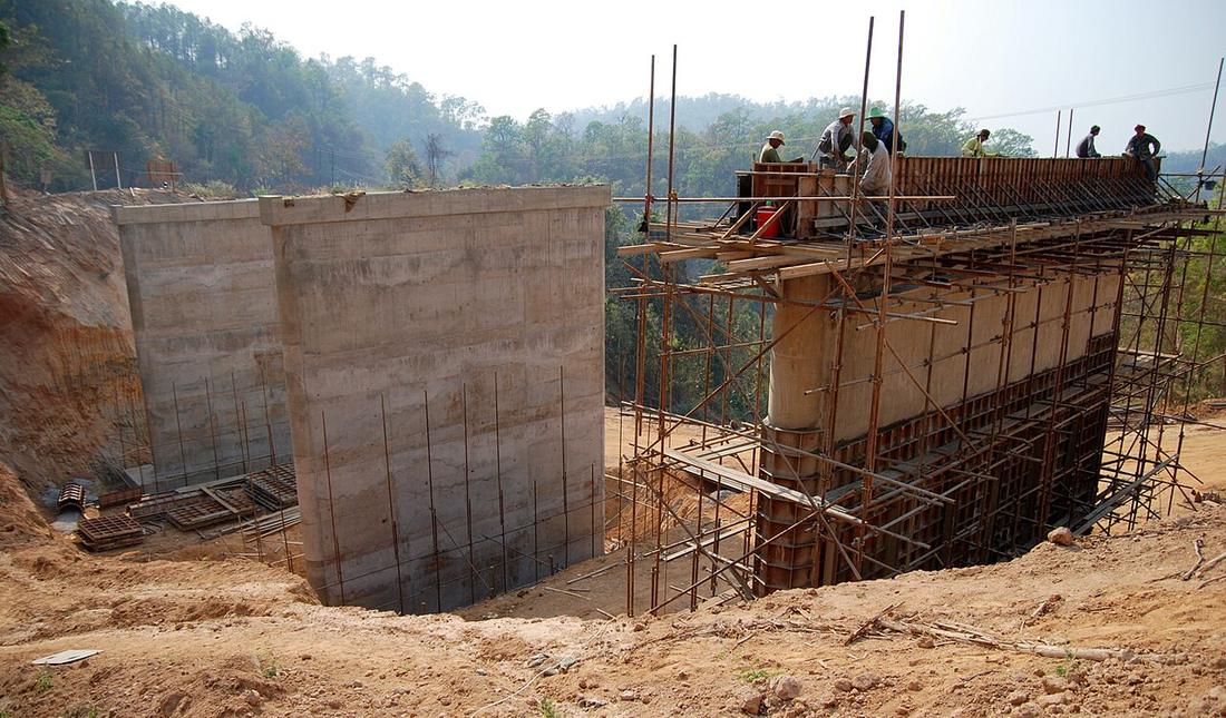 Takeaway · CC BY-SA 3.0
from Chiang Mai to Mae Hong Son
What it is
Through Hang Dong, San Pa Tong and Chom Thong to Hot, 88 km of four to six lanes, then 265 km of two-lane mountain road through Mae Sariang and Khun Yuam to Mae Hong Son: 349.359 km. The Hang Dong road was built in 1899 with khi-lek trees for the Burma trade, made a two-lane gravel road in the 1970s, concreted from 1986 and widened to four and six lanes in 1989–92. The whole route was a dirt road by 1963, asphalt by 1990 and complete in 1998. The 2024 count at km 7.65 read 41,450 vehicles a day and 16,378 motorcycles.
The long version
Inference — it is the long way round the Mae Hong Son loop, and the loop site counts its curves; this site only claims its first eighty-eight kilometres, which are the flat ones.
Notes
The 1931 city map labels the road out of the southwest corner TO HANG DONG & CHOM THONG, in Thai and English, thirty-two years after Phraya Surasi is said to have built it and twenty-six before the formal dirt road.

Connected to
- Chao Phraya Surasi Wisitsak Built the Hang Dong road.
- Five interchanges on the outer ring The Samoeng interchange is on it.
- The 1931 city map Where it is labelled.
Named here by
- Route 1269, Samoeng Where it comes out.
- 1300s–1700s — Lanna and Burma The old track to Burma.
- The 1931 city map Labelled TO HANG DONG & CHOM THONG.
- Chao Phraya Surasi Wisitsak The other road.
Where each claim comes from
| Field | Tier | Source | Note |
|---|---|---|---|
| default | cited | ทางหลวงแผ่นดินหมายเลข 108 — Wikipedia (th) | |
| text_th | inference | written in Thai by this project, in the northern register where it fits; not machine-translated | |
| text.story | inference |
Sources
- ทางหลวงแผ่นดินหมายเลข 108 — Wikipedia (th)
- การขยายตัวของเมืองเชียงใหม่ตามแนวถนน — วิทยานิพนธ์ภูมิศาสตร์ ม.เชียงใหม่ 2548, บทที่ 3 — Chiang Mai University Library
- ปริมาณจราจรเฉลี่ยต่อวันตลอดปี (AADT) — open data 2560–2568 — กรมทางหลวง Department of Highways
- The Mae Hong Son Loop — 1,864 curves — Mot Dang / hongdam.net
- Wikimedia Commons — the map and photograph files, each with its own licence on its file page — Wikimedia Commons
cited Cited — a named source, linked · harvested Harvested — fetched from an open dataset, with its licence · tradition Tradition — general knowledge of the tradition, hedged · inference Inference — this project's own reasoning from the above · field Field — someone stood there